Trails
+ Easy
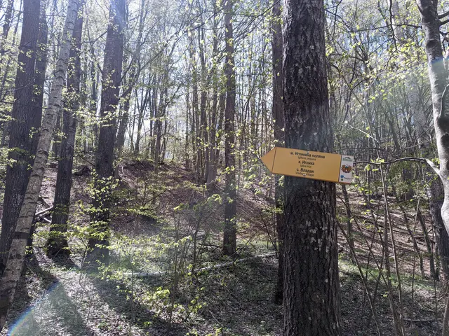
EasyThis is a short but varied route. You will pass by two lakes in the Dendrarium area, then descend along a rocky forest path to the Planinishka River, which you will cross over a wooden bridge, and then climb up to the wide and, hopefully, sunny Iglikina Meadow.
 Росен Пантелеев
 Easy
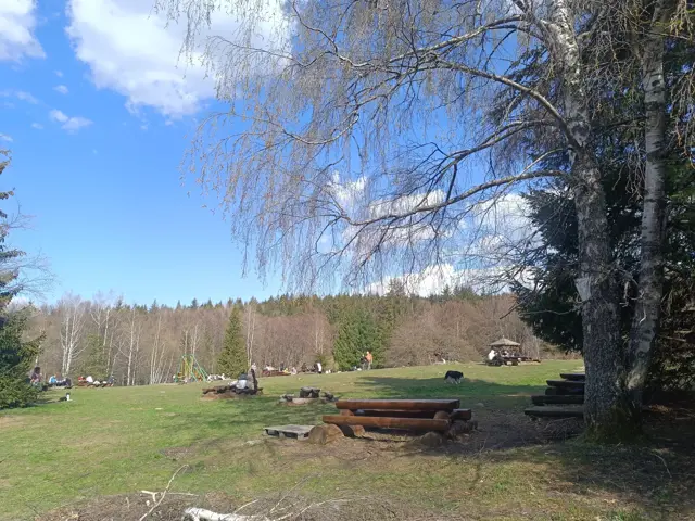
EasyA short walk along an almost level and well-maintained forest path. The meadow in front of Momina Skala Hut is an excellent place for a picnic, which is why it can get quite crowded on weekends.
Росен Пантелеев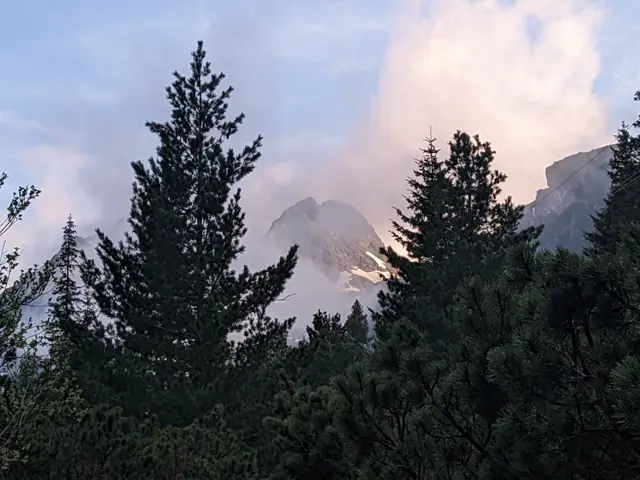 Easy
EasyThis is the classic trail to Malyovitsa Hut from the former Central Mountain School (ЦПШ). The trail follows a dirt road, paved with gravel and stones, which goes through a coniferous forest along Malyovitsa River. An easy trail, suitable for children.
Росен Пантелеев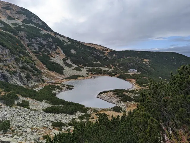 Moderate
The hike to Belmeken Peak begins with an easy stroll along the shore of Ravnichalsko Lake, which serves as a perfect warm-up for the steep section ahead. But don’t worry - the incline is short, and the rocks underfoot are relatively large and stable. Afterward, we emerge onto a pleasant grassy saddle, offering a bit of time to catch our breath along a nearly flat stretch before the final push to the summit. While this final climb follows a (mostly) grassy path, it is steep-ish and not exactly short. However, once we reach the top, we will be able to see a huge part of the Rila and Rhodope mountains. If we descend slightly down its southeastern slope, we can look down on the Belmeken Reservoir from above. Wild goats are often spotted in the area, and if we get lucky, we might even see the ground squirrel - the elegant cousin of the marmot - whose highest habitat in the Balkans is right here around the peak.
Росен Пантелеев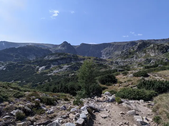 Moderate
Shortly after Rilski Ezera Hut, the trail has a brief, steep section that might seem discouraging. However, once you overcome it, the rest of the route is almost flat. Most of the time, you will see the Dolnoto (Lower) Lake, which will be down to your left. Shortly before reaching Sedemte Ezera Hut, you will cross a small stream, which is actually the Dzherman River - the river into which the Seven Lakes drain. Another climb follows, much shorter this time, and immediately after it, you will find yourself on the shore of the Ribnoto (Fish) Lake, where the hut itself is located.
Росен Пантелеев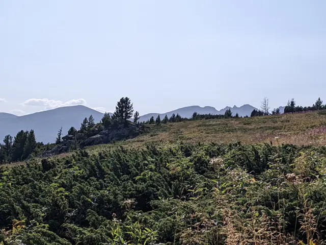 Moderate
This is one of the options for the trek from Skakavitsa Hut to Rilski Ezera (Rila Lakes) Hut. The trail markings are abundant at first, but after the first junction, they become unclear and start to fade. This is quite important, as there is no shortage of misleading detours and less-than-obvious turns. Nevertheless, the route is completely passable, and if you use a navigation app or a GPS device to help you along, you shouldn't run into any problems.
Росен Пантелеев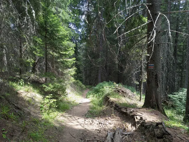 Moderate
A trail through the forest, suitable for both summer and winter. If you are in the meadow in front of Lovna Hut, you need to go around the building from the right, and at the edge of the forest there, you will see the sign for Vada Hut. Head into the forest and pass by the water turbine that supplies the hut with electricity. The Dzherman River will be on your right, which you will soon cross via a small wooden bridge. After the bridge, there is a short ascent through the forest, after which you will descend to one of the many dirt roads in this part of the Rila Mountains. You turn right along this road and keep following it until you reach the first left turn, where you will find trail signs and an information board. There, continue straight through the forest on either of the two paths ahead of you - the left path is gentler, and the official trail markings follow it, but judging by how not-really-well-trodden it is, people seem to prefer the steep path that climbs straight up. After a short and steep climb, you will emerge at the junction where our trail merges with the blue markings coming from the Seven Lakes Hut. Continue straight ahead along the dirt road that descends steeply through the forest, and follow it until you reach the small bridge over the river next to Vada Hut. This is the Pravi (Straight) Iskar River - one of the many tributaries of the Iskar River. Shortly after the bridge, you will see the hut itself.
Росен Пантелеев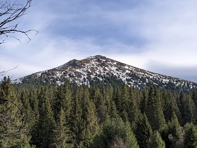 Moderate
The trail is quite steep in the section from Vezhen Hut to the fork for Benkovski Hut.
Росен Пантелеев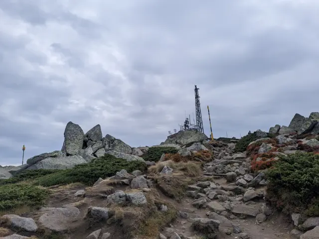 Moderate
This is the summer route to Cherni Vrah from Aleko Hut, which is also known as "the trail through the Wall" (Stenata). It is famous for its steep first half, but that is only because most people head straight up along the shortcuts worn down by descending hikers, or along the ski run, instead of following the switchbacks where the official trail markings go. If you follow the markings, your climb will be much easier. The GPX track here was recorded along the gentler, marked switchbacks. The route begins at the meadow in front of Aleko Hut, just past the water fountain, where the trail uphill is clearly visible. From there, we gradually gain altitude, with Malak Rezen peak appearing on the left and the two peaks of Ushite visible in the distance on the right. We pass an abandoned building which, according to the BgMountains map, is the former top station of the "Zaeka" (The Rabbit) ski lift. There is a water fountain next to it that runs all summer long. Once we reach the fork where our trail merges with the dirt road and the pole markings alongside it, we will catch our first glimpse of the summit. We walk along the dirt road for about ten minutes and then branch off to the right, following the winter pole markings - at this point, the winter and summer trails coincide. First, we descend to the small bed of a little stream, crossing it over a wooden bridge. After that, the trail splits into several paths running roughly parallel to each other. In some spots, it is necessary to bypass marshy areas that change position and size depending on the season, so the variety of paths is quite helpful. Once we reach the teahouse and the meadow in front of it, we are almost at the top. This is where the route ends for most people, but if you are an enthusiast, you can climb up to the actual highest point of Vitosha—the pile of large boulders about fifty meters from the teahouse. From there, we can look down on the other hikers.
Росен Пантелеев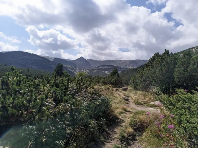 Moderate
We head towards Rilski Ezera (Rila Lakes) Hut, and just before the small stream coming down from Trilistnika (The Trefoil) Lake, we detour to the right, following the green and yellow trail markings. There are three easy ways to get confused here: The detour is hidden among dwarf pine, so it is not very easy to spot. There is another detour before it which leads along an unmarked path straight to Dolnoto (The Lower) Lake. If we take that one, we will have to find a way to navigate to the left through the puddles and streams filling the meadows along the lakeshore in order to catch the green/yellow trail to Lovna Hut. If we still end up by the lakeshore, we must be careful not to take the blue trail, which goes towards Vada Hut. Afterwards, we simply follow our trail down along the Dzherman River, enter the forest, and walk through it until we reach the junction where the yellow and green markings split. We need to take the right turn following the green trail. The detour is poorly marked and can easily be missed, so once we enter the forest, we must carefully watch the color of the trail markers on the trees. A steep descent follows, and after about fifteen minutes, we come out onto the meadow in front of Lovna Hut.
Росен Пантелеев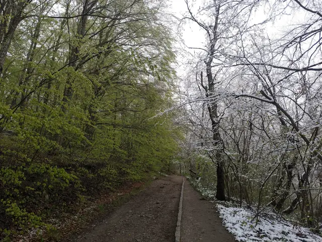 Moderate
The hiking path from Knyazhevo to Golden Bridges Stone Run is probably the most popular in Vitosha. The current route follows it to the Beli Breg area, and then it turns towards Septemvri Hut.
Росен Пантелеев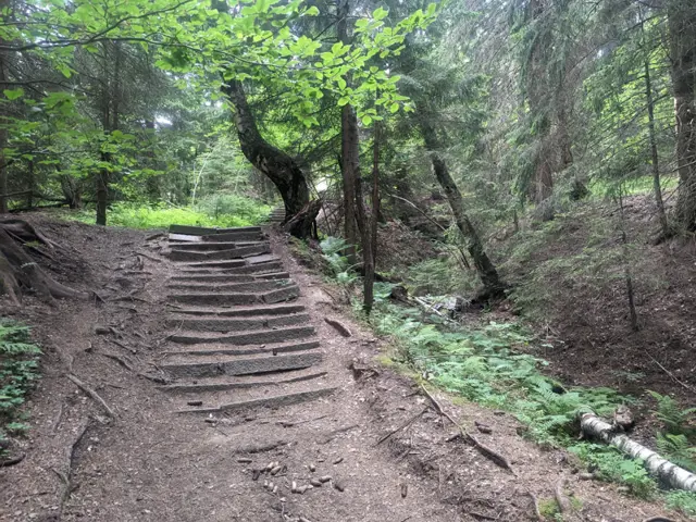 Easy
EasyFrom the bus stop at Zlatnite Mostove, you walk along the asphalt road for about ten minutes. After two large bends, you take a forest path that branches off to the right from the road. Its second half is steep, but stone steps have been built to make it easier. This path leads to the wide meadow in front of the hut.
Росен Пантелеев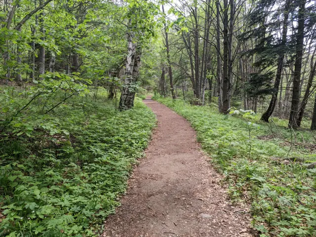 Easy
EasyAn alternative route from Momina Skala Hut to Zlatnite Mostove, passing through the area of Bukara, where it merges with the direct path from Kopitoto, Malkoto Kopitoto (the path through Planinishki Livadi), as well as the red-marked trail to Boyanа Waterfall.
Росен Пантелеев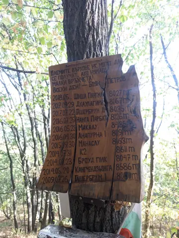 Hard
HardThis is a trail that runs beneath the former Kopitoto chairlift. It was used by the legendary alpinist Boyan Petrov for endurance training. The route starts on the marked trail to the Golden Bridges and branches off to the left before the first footbridge. It then passes a residential building, crosses the Old and New Belovodski roads one after the other, and heads sharply uphill through the forest, where the actual challenge begins.
Росен Пантелеев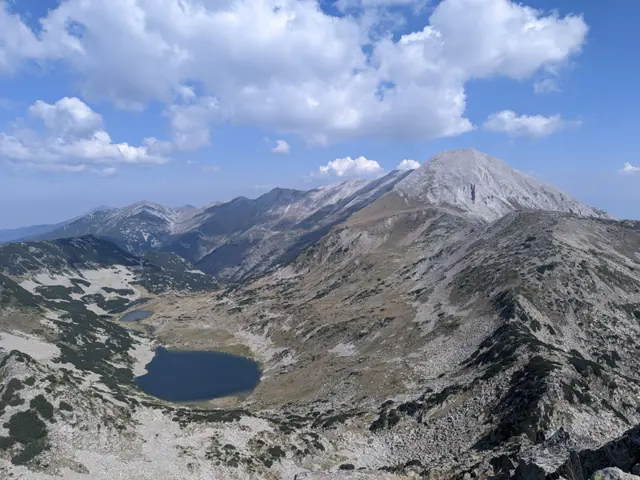 Hard
HardThis is the most popular route for climbing Muratov Peak - from the southern side via the Banderishka Porta (gate), where the slope to the summit is moderate and the technical difficulty is relatively low.
Росен Пантелеев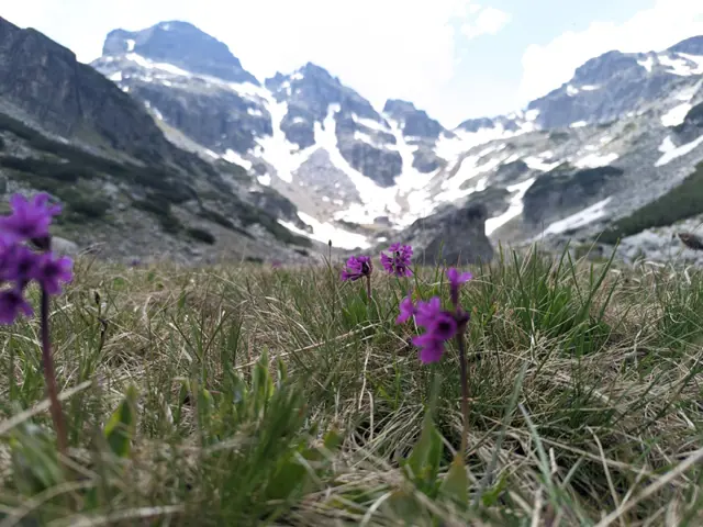 Moderate
This is the usual route for climbing Malyovitsa Peak in the summer. There are some steep sections and a lot of rocks, but if we get lucky with the weather, we’ll see a really big part of Rila from above.
Росен Пантелеев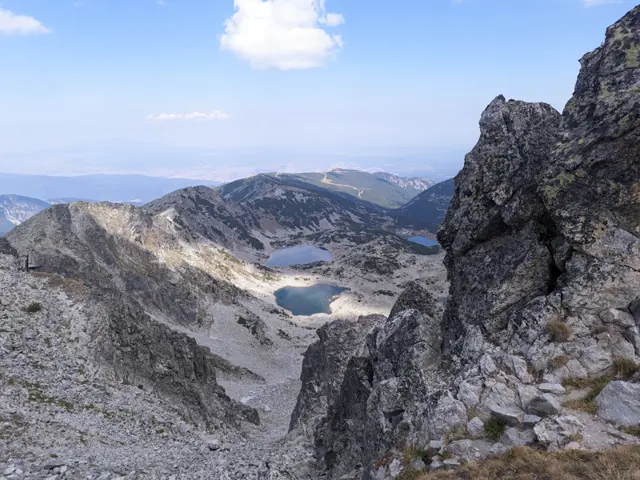 Moderate
This is the most popular summer route for climbing the highest peak in the Balkans.
Росен Пантелеев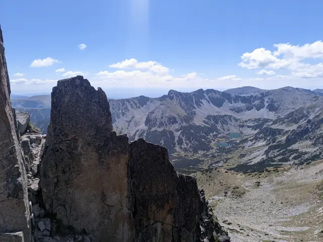 Hard
HardThe Crown of Musala is one of the two classic alpine traverses in Rila – the other being the Malyovitsa Traverse. There is no shortage of dangerous sections, especially at Trionite (The Saws) and on the descent from Malka Musala Peak, so if you have doubts about your preparation, it is better to hire a mountain guide.
Росен ПантелеевAn easy route along the asphalt road, and forest paths, shortening the turns.
Росен Пантелеев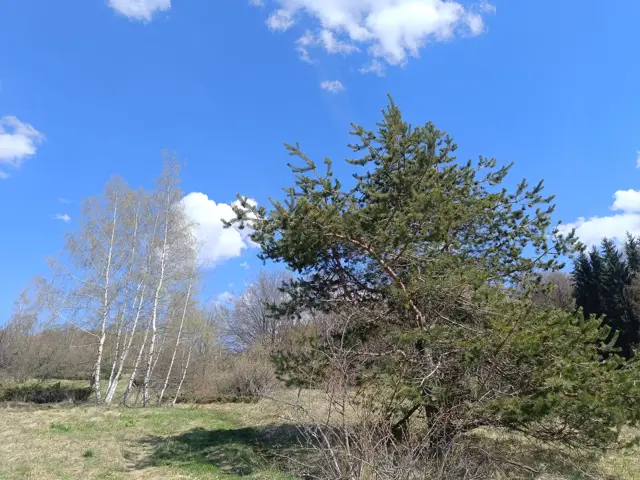 EasyРосен Пантелеев