Dragalevtsi Monastery – Kikish Shelter – Kikish Peak
Home/Trails/Dragalevtsi Monastery – Kikish Shelter – Kikish PeakRate

Dragalevtsi Monastery – Kikish Shelter – Kikish Peak

Hiking·2.2 km·1 h 20 min·388 m

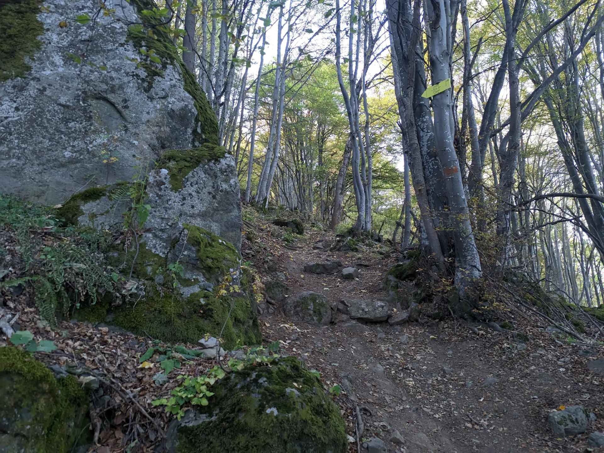
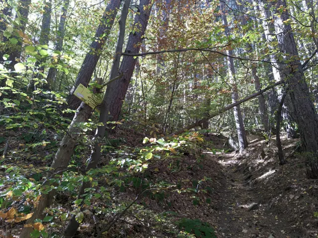
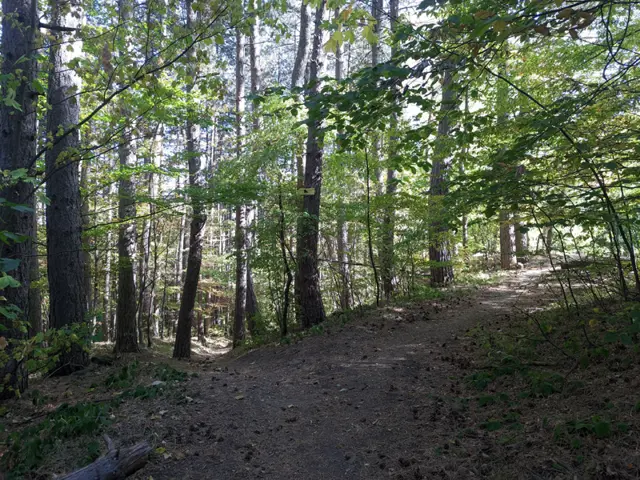
The trail from the Dragalevtsi Monastery to the Kikish Shelter is notoriously steep, so do not expect to encounter many people along the way. However, it is relatively short, passing through a beautiful beech forest and leading past massive boulders sitting right beside the path, making the trail not entirely uninteresting.

Elevation profile

1447 m1253 m1058 m
1447 m1058 m
0 km1.1 km2.2 km

Waypoints

Segments

Ascent / descent↑365 m ↓0 mTechnical difficultyT1Fitness difficultyMarking typeSignpostsTerrainForestSurfaceDirt path

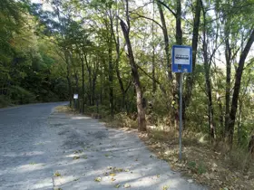
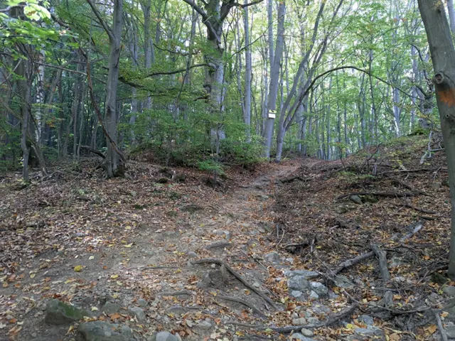
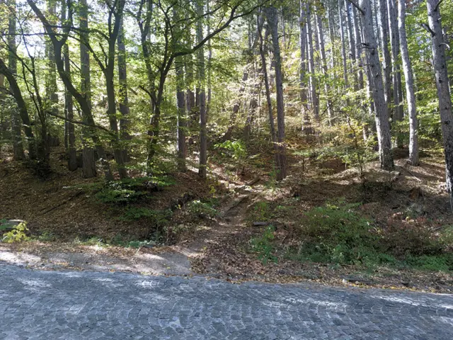
To reach the trailhead, we start from the Dragalevtsi Monastery and head toward the bus stop (of city bus 66) and its adjacent parking lot, or begin from the bus stop/parking lot itself. There, we briefly pick up the blue markers of the low-mountain ring trail, which must be left behind at the first signposted fork. While the ring trail continues to the left toward the Dragalevtsi River, we head straight up the wide path, which has a sign for the Kikish Shelter at its start. About fifty meters up, however, we must turn off to the right. Keep a close eye out here, as there are no signs and the fork is not entirely obvious. Just a short distance into the forest along this path, the first trail marker appears. After crossing the asphalt road once again, we are in the forest for the remainder of the trail.

Ascent / descent↑23 m ↓0 mTechnical difficultyT1Fitness difficultyMarking typeSignpostsTerrainForestSurfaceDirt path

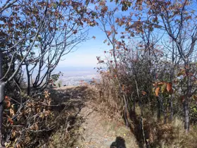
From the Kikish Shelter to the peak, it is a short, level walk. We start along the main trail coming from the Kamen Del Hut, which continues toward The Chimneys (Kominite) and the Bai Krastyo Shelter. After a few minutes, a fork comes into view. The path to the Plateau branches off to the right, the main route to the Bai Krastyo Shelter continues straight ahead, and the peak lies to the left. The path to the "summit" is flat and leads through the forest, passing a small group of rocks on the left before emerging onto a clearing on a natural terrace, which offers a view of Sofia. This exact place is Kikish Peak.

The route and GPX file are approximate and may have been submitted or verified by a user like you. Check the source, date, forecast, restrictions, and your own preparedness. Don't rely solely on your phone or a single GPS track. In case of immediate danger, call 112.
Росен Пантелеев

Trail contributed by

Росен Пантелеев

56 trails·281 places·1 reviews·Member since Apr 2026

Forecast for Dragalevtsi Monastery – Kikish Shelter – Kikish Peak

Forecast by meteoblue

Reviews

No reviews yet.

Related routes

Trails that cross or pass near the current one.

Momina Skala Hut - Bai Krastyo ShelterModerate
Hiking·VitoshaModerate
6.03 km·1 h 50 min·157 m·245 m

The route from the Momina Skala Hut to the Bai Krastyo Shelter is part of Vitosha’s mid-mountain (elevation-wise) ring trail. The climbs and descents along the path are mainly gradual, and we walk mostly through the forest, though views of Sofia open up frequently along the way. The trail crosses a vast stone river and later traverses a stream (Dragalevtsi River) featuring a small waterfall. Note that this route is suitable only for summer travel, as a portion of the trail passes through an avalanche-prone area.

Momina Skala HutBai Krastyo Shelter