Huts in Vitosha
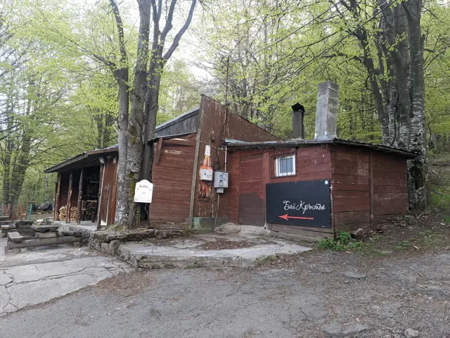
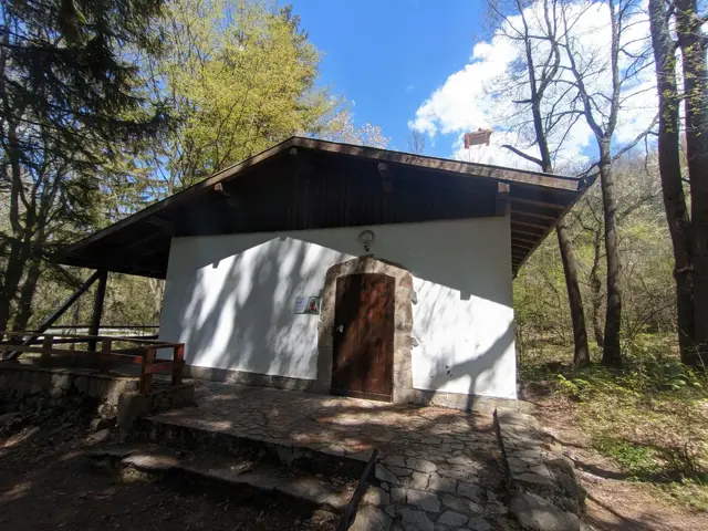
Bai Krastyo Shelter
1400 mBai Krastyo is a serviced shelter, located on the northern slope of Vitosha. It is named after the iconic mountain lover Krastyo Grozev, who turned this place into a tourist attraction in the middle of the last century.
Cherni Vrah Shelter
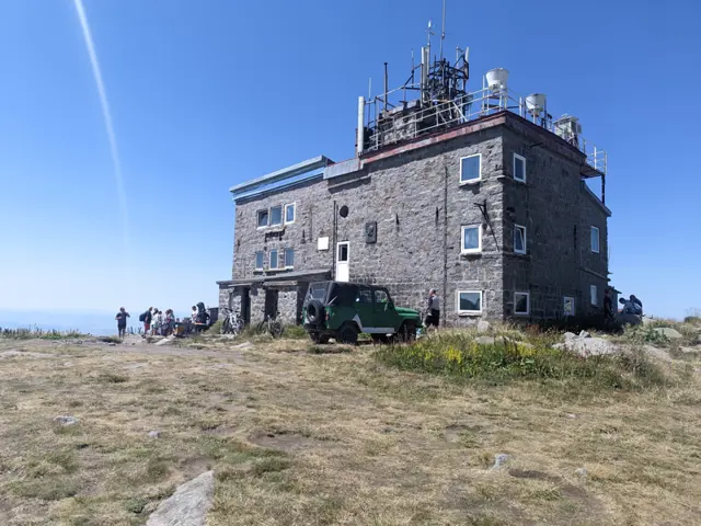
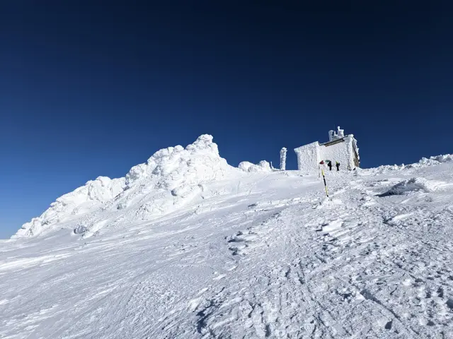
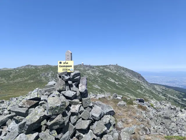
2284 mCherni Vrah Shelter is a manned shelter with a canteen and teahouse, located on Vitosha's highest peak. The canteen and tea room are open every day from 08:00 to 19:00. Hot soups, ala minute, grill, hot drinks (tea, coffee), pastries and beer are offered. The vestibule is open 24 hours a day all year round for emergency shelter in bad weather. At the shelter, you can get a stamp for Cherni Vrah, which is part of the '100 Tourist Sites of Bulgaria' initiative. The building is shared between the shelter, the NIMH meteorological station and a Mountain Rescue Service post.
Edelweiss Hut
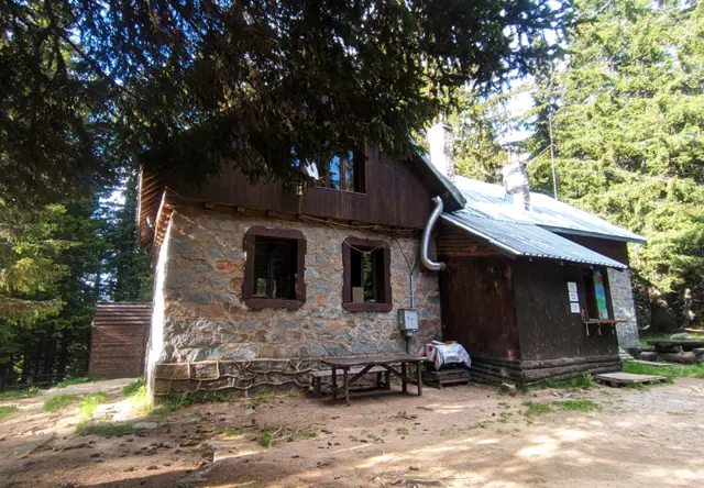
1670 mLocated among a coniferous forest in the Machovoto area, not far from Ostritsa peak.
Kikish Hut
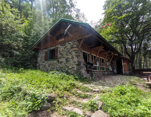
1430 mKikish is classified as a shelter, but it offers conditions comparable to those in a good hut. It is managed by Vasil Lazarov, who renovates and maintains it with the help of friends and volunteers. In ten years, they managed to turn the deserted and crumbling building into a place beloved by thousands of mountaineers. In front of the hut there is a small artificial lake and meadows with sunbeds.
Planinets Hut
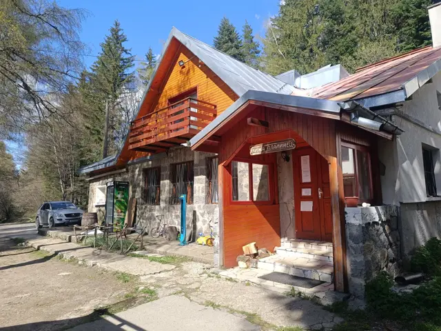
1367 mThe hut is located in the Svrachar area, not far from Kopitoto, Dendrariuma Area and Zlatnite Mostove.
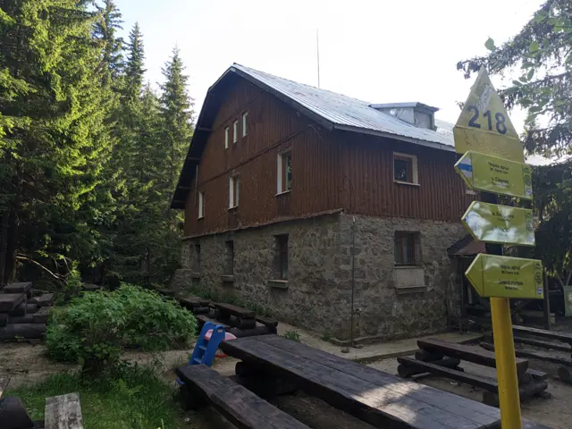
Kumata Hut
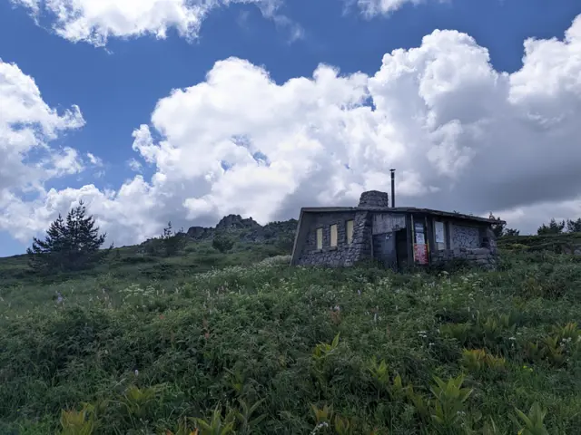
1724 mKumata hut is located in the southern part of the Boeritsa area. It is a classic stop on the route from Zlatnite Mostove to Cherni Vrah. It is named after one of the first Bulgarian climbers - Krum Novakov - Kumata, who was among the initiators of its construction.
Trails in Vitosha
 Moderate
 Росен Пантелеев
 ModerateРосен Пантелеев
 ModerateРосен Пантелеев
 Moderate
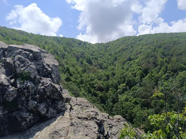
The hiking path from Knyazhevo to Golden Bridges Stone Run is probably the most popular in Vitosha. The current route follows it to the Beli Breg area, and then it turns towards Septemvri Hut.
Росен Пантелеев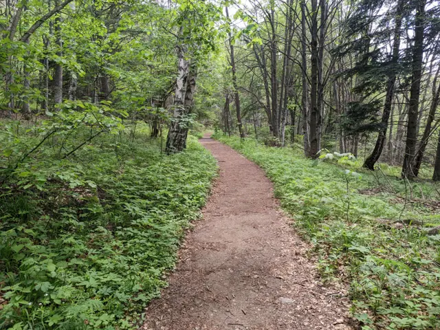 Easy
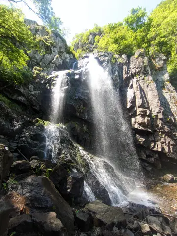
EasyAn alternative route from Momina Skala Hut to Zlatnite Mostove, passing through the area of Bukara, where it merges with the direct path from Kopitoto, Malkoto Kopitoto (the path through Planinishki Livadi), as well as the red-marked trail to Boyanа Waterfall.
Росен Пантелеев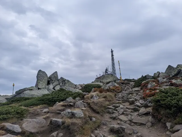 Moderate
This is the summer route to Cherni Vrah from Aleko Hut, which is also known as "the trail through the Wall" (Stenata). It is famous for its steep first half, but that is only because most people head straight up along the shortcuts worn down by descending hikers, or along the ski run, instead of following the switchbacks where the official trail markings go. If you follow the markings, your climb will be much easier. The GPX track here was recorded along the gentler, marked switchbacks. The route begins at the meadow in front of Aleko Hut, just past the water fountain, where the trail uphill is clearly visible. From there, we gradually gain altitude, with Malak Rezen peak appearing on the left and the two peaks of Ushite visible in the distance on the right. We pass an abandoned building which, according to the BgMountains map, is the former top station of the "Zaeka" (The Rabbit) ski lift. There is a water fountain next to it that runs all summer long. Once we reach the fork where our trail merges with the dirt road and the pole markings alongside it, we will catch our first glimpse of the summit. We walk along the dirt road for about ten minutes and then branch off to the right, following the winter pole markings - at this point, the winter and summer trails coincide. First, we descend to the small bed of a little stream, crossing it over a wooden bridge. After that, the trail splits into several paths running roughly parallel to each other. In some spots, it is necessary to bypass marshy areas that change position and size depending on the season, so the variety of paths is quite helpful. Once we reach the teahouse and the meadow in front of it, we are almost at the top. This is where the route ends for most people, but if you are an enthusiast, you can climb up to the actual highest point of Vitosha—the pile of large boulders about fifty meters from the teahouse. From there, we can look down on the other hikers.
Росен Пантелеев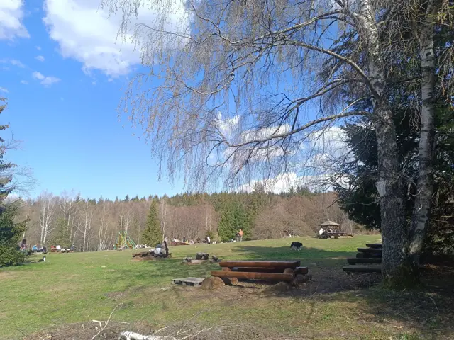 Easy
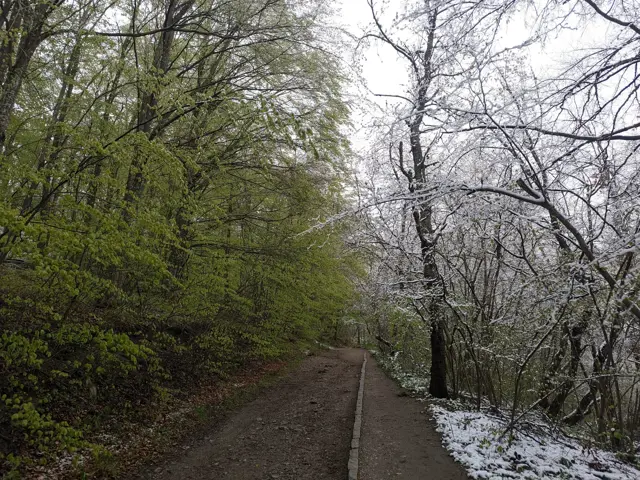
EasyA short walk along an almost level and well-maintained forest path. The meadow in front of Momina Skala Hut is an excellent place for a picnic, which is why it can get quite crowded on weekends.
Росен Пантелеев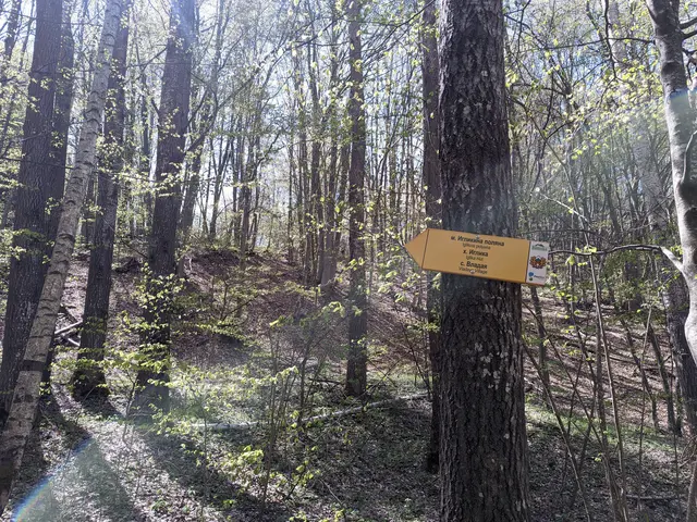 Easy
EasyThis is a short but varied route. You will pass by two lakes in the Dendrarium area, then descend along a rocky forest path to the Planinishka River, which you will cross over a wooden bridge, and then climb up to the wide and, hopefully, sunny Iglikina Meadow.
Росен ПантелеевPlaces in Vitosha
Zlatnite Mostove
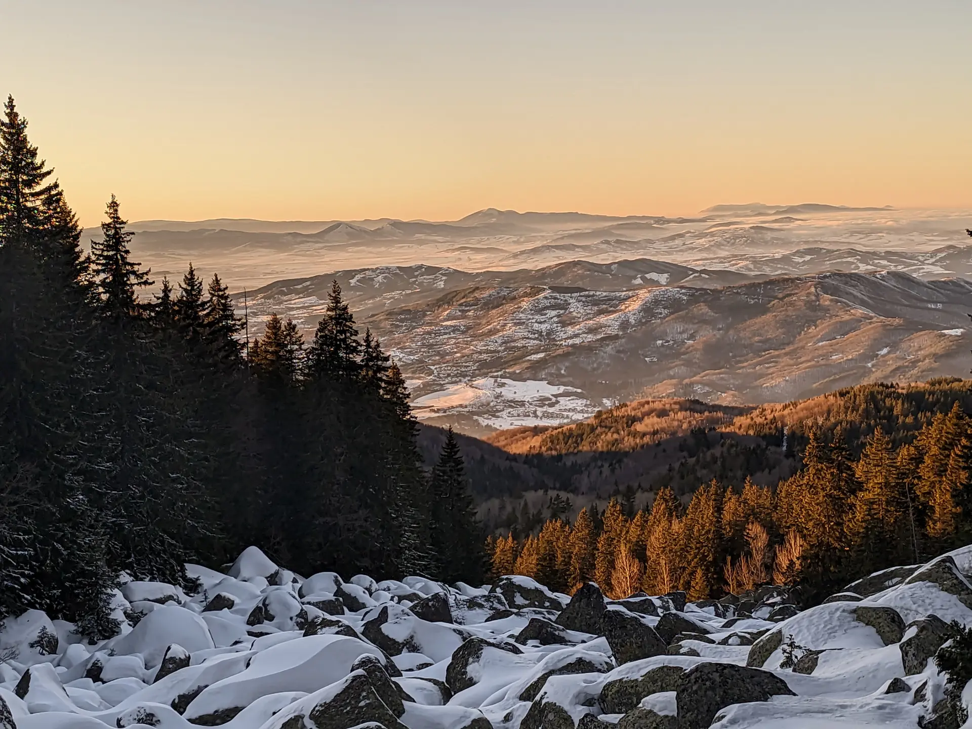
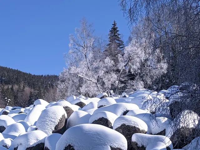
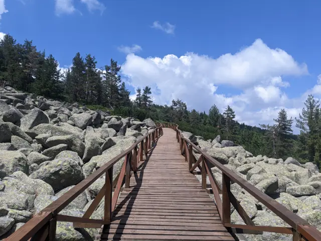
1405 m"Zlatnite Mostove" (The Golden Bridges) is the largest stone river on Vitosha Mountain. It is located at an altitude of 1,350 to 1,500 meters, and beneath its rocks flows the Vladayska River - the very same one that flows under the Lions' Bridge in Sofia. Some people wonder about this, so let me clarify: the Golden Bridges are neither golden, nor are they actually bridges. Yes, it often happens that someone stands right in front of them and asks where the bridges are. According to Wikipedia, the golden color in the name comes from the color of the lichens on the stones, but to me, the lichens look more like green, so I don't know. However, an interesting fact is that the figurative name of the area still holds a fraction of literal truth — there are very real golden grains in the sands of the Vladayska River, which flows under the Bridges. They are very rare, but they do exist. If you look closely at the sand at the bottom, especially on a sunny day, you will see golden glittering particles. That is not gold. That is mica, which is light and floats to the very top of the sand. Gold is heavy and sinks. You won't see it. The Golden Bridges are a stone river (or a stone run). A stone river simply means a long scree of large rocks, beneath which a river may or may not flow. The Golden Bridges happen to be a stone river that an actual river runs underneath.
Росен Пантелеев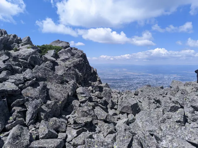
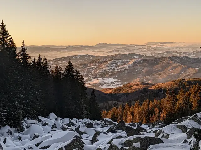
Very close to the hut complex, which includes Planinarska Pesen Hut, Borova Gora Hut, and the defunct Boeritsa Hut, at the foot of Chernata Skala Peak, there is a stone river from which you can watch some of the most beautiful sunsets on Vitosha.
Росен Пантелеев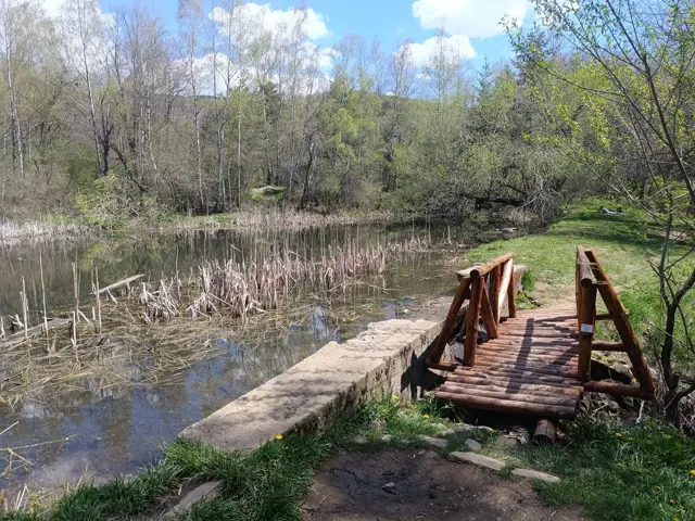
Dendrariuma Area
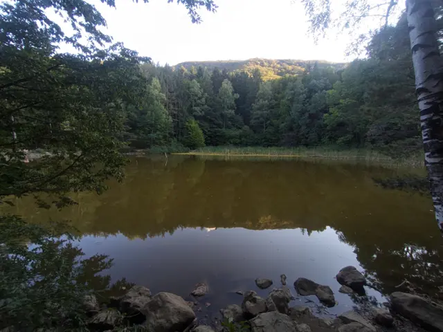
1201 mAn area with botanical alleys, gazebos, ponds and children's areas.
Росен Пантелеев