Edelweiss Hut – Kumata Hut
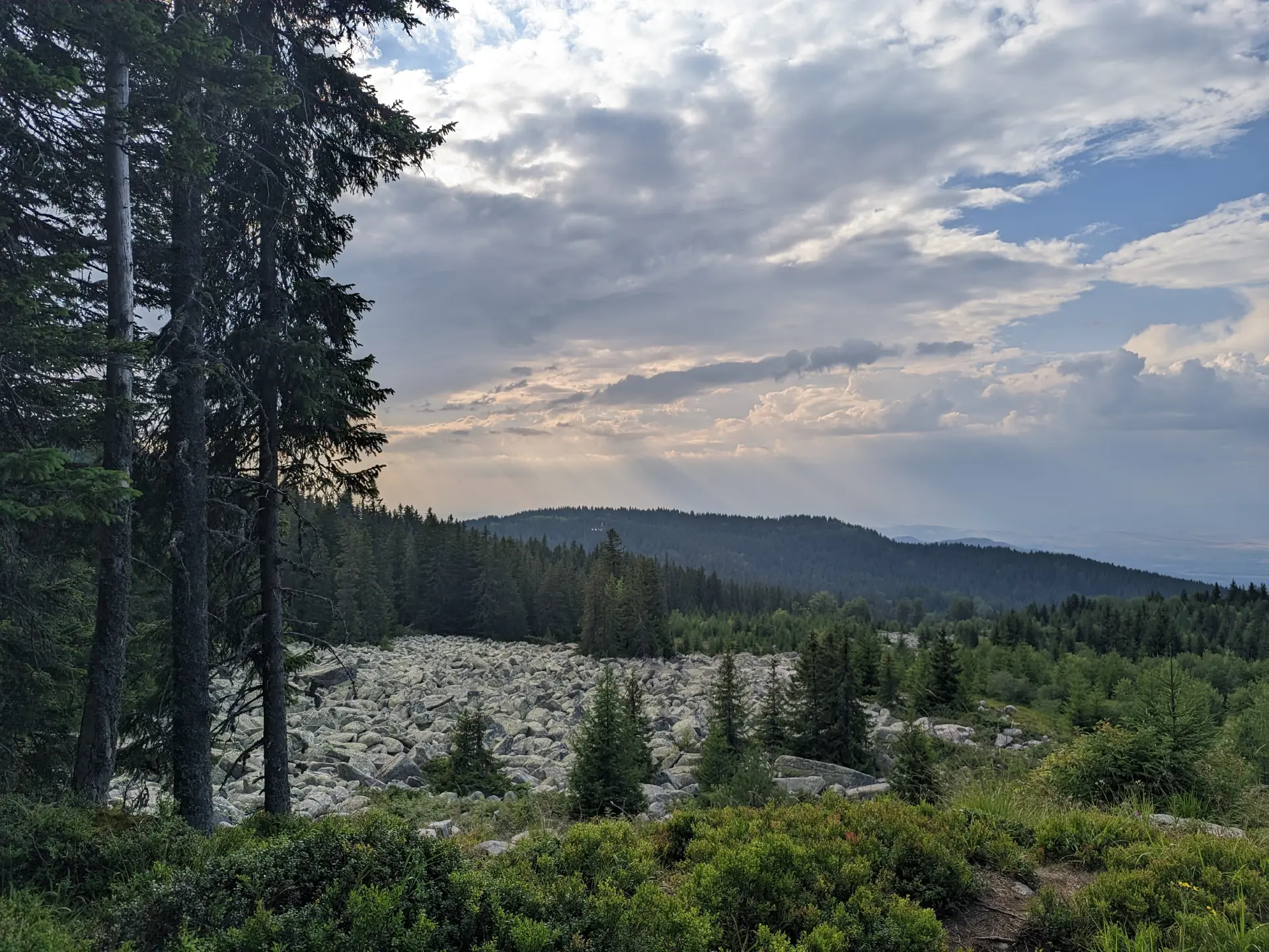
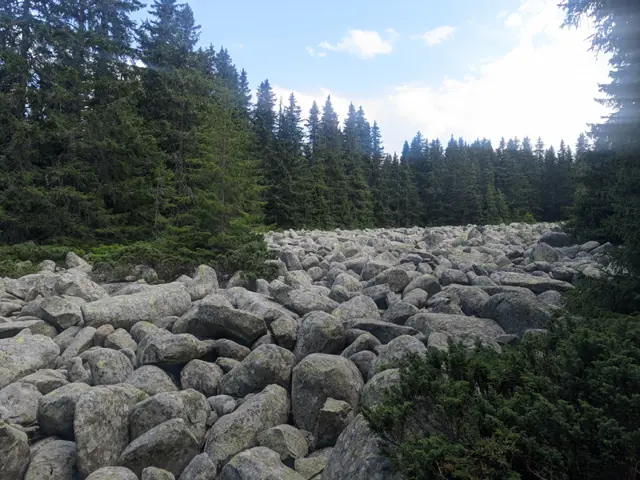
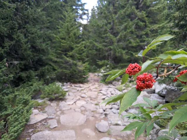
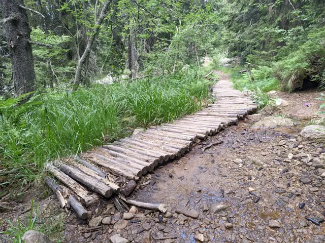
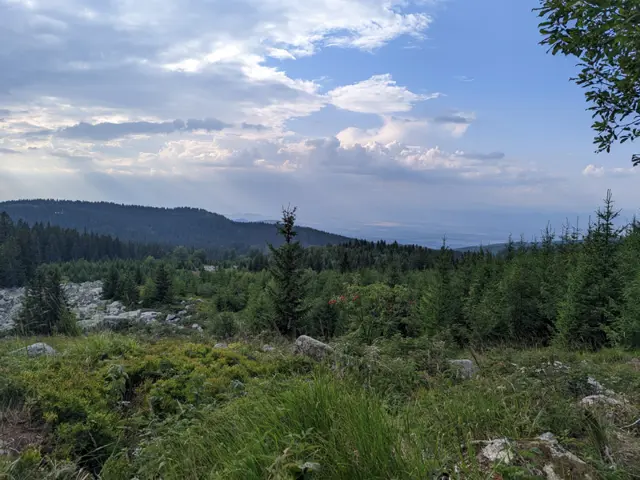
The trail from Edelweiss Hut to Kumata Hut is short, almost flat, but very diverse. We will walk through a forest, past stone rivers and meadows with views of the mountains in the Kraishte region (northwest of Vitosha), finally crossing the Vladayska River at a spot where it forms a wide pool among large, rounded boulders. The route is most enjoyable during the warmer months, because the trail is…
Elevation profile
Waypoints

Reviews
Related routes
Trails that cross or pass near the current one.
 Moderate
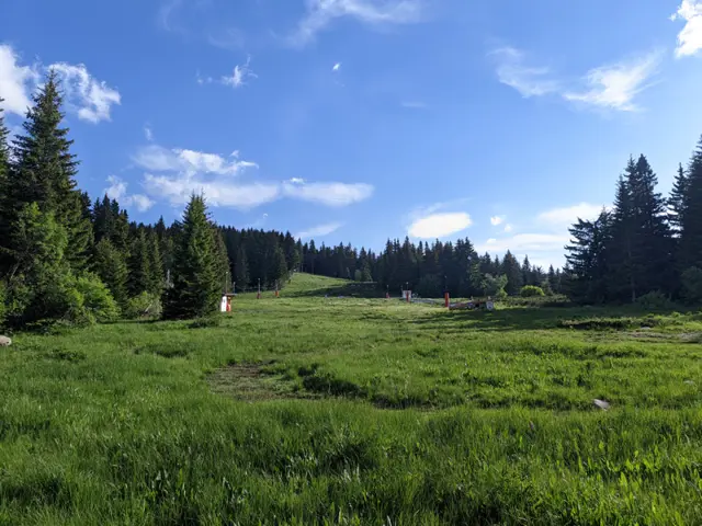
This is one of the longer circular trails that can be taken from the Zlatnite Mostove (Golden Bridges) area. The route follows well marked trails, passing mostly through coniferous forests and meadows, and reaches its highest point at the Konyarnika area, which offers a view of Cherni Vrah. Along the way, there will be numerous opportunities to rest - six mountain huts, multiple gazebos, and a shelter. Drinking water along the trail is also not an issue, as we will pass by several water fountains.
Росен Пантелеев Moderate
Climbing Cherni Vrah from Zlatnite Mostove is likely the second-most popular route to the peak after the one from Aleko Hut. The elevation gain from here to the summit is greater, but you have a place to rest and eat along the way at Kumata Hut. Although the trail gets boggy in places after the hut and crosses the Vladaya River, there are no drinking fountains on it, so it is a good idea to stock up on water.
Росен Пантелеев