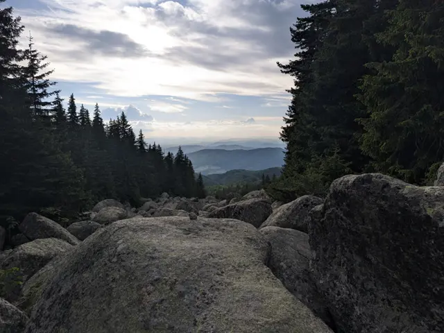
Circular route from the Golden Bridges via Konyarnika and several huts
This is one of the longer circular trails that can be taken from the Zlatnite Mostove (Golden Bridges) area. The route follows well marked trails, passing mostly through coniferous forests and meadows, and reaches its highest point at the Konyarnika area, which offers a view of Cherni Vrah. Along the way, there will be numerous opportunities to rest - six mountain huts, multiple gazebos, and a…
Elevation profile
Waypoints



Segments
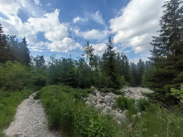
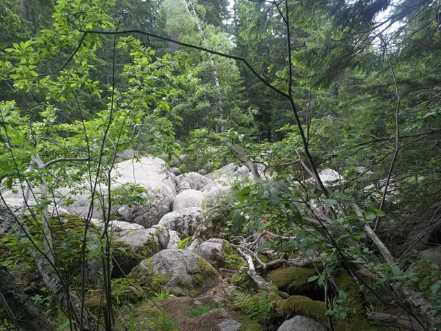
We start from the stone river itself at Zlatnite Mostove, where a fork at the lower right section marks the beginning of two trails. One runs upwards alongside the stone river - this is the direct path to Kumata Hut. We need to take the other one - the trail that heads off to the right and moves away from the stone river. The trail markers here are green.
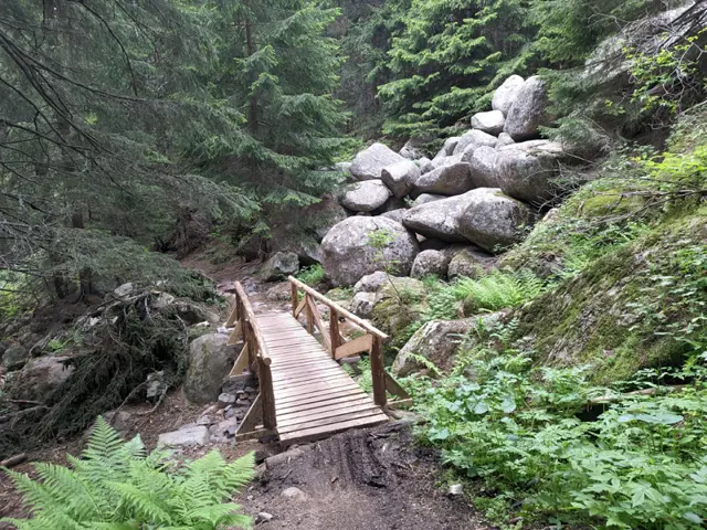
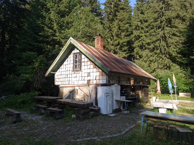
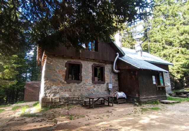
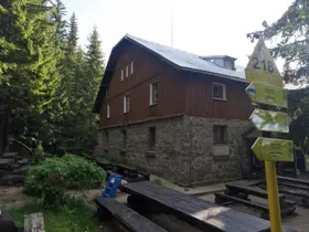
At the beginning, the trail is wide and perfectly leveled, making for an easy walk. After about ten minutes of hiking, we will cross the asphalt road once more, and then we'll reach a fork in the trail. Immediately before this fork, there is a small wooden bridge over a stream, a tributary of the Vladayska River. Here, we turn left and take a dirt road. About fifty meters further on, we reach a second fork, where another dirt road branches off to the right, leading to the BNR (Bulgarian National Radio) Hut and Kompozitorite Hut. We continue straight and very soon arrive at Pancho Tomov Hut.
Here we can take our first rest, as there are gazebos and picnic tables in front of the hut. The hut itself is currently closed (as of November 2026), but on some summer days, I have seen grilled food and drinks offered outside.
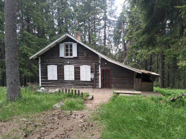
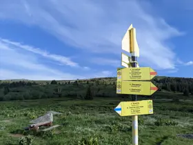
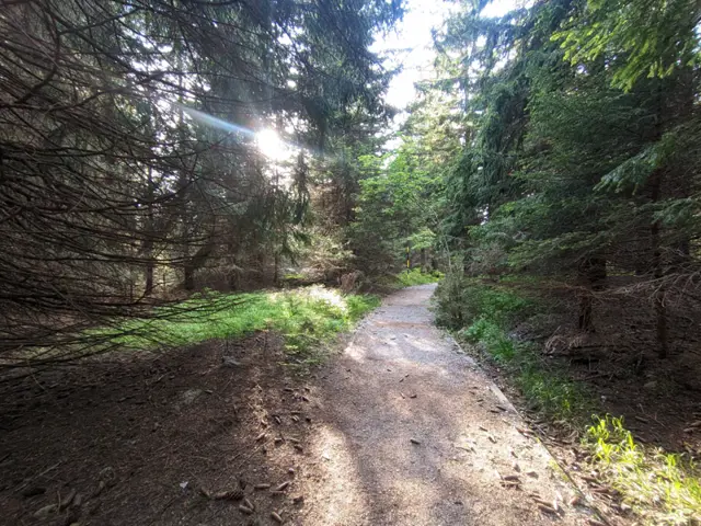
We continue along the trail, which begins with a few stone steps and winds into the forest. We will soon reach the next fork. Signs pointing to the right mark the trail to Selimitsa Hut, where the blue trail markers continue. Our trail carries straight on, and the markers we need to follow change to red and become more sparse. Here, if we wish, we can also detour to the left to visit the currently closed (as of 2026) Malina Hut.
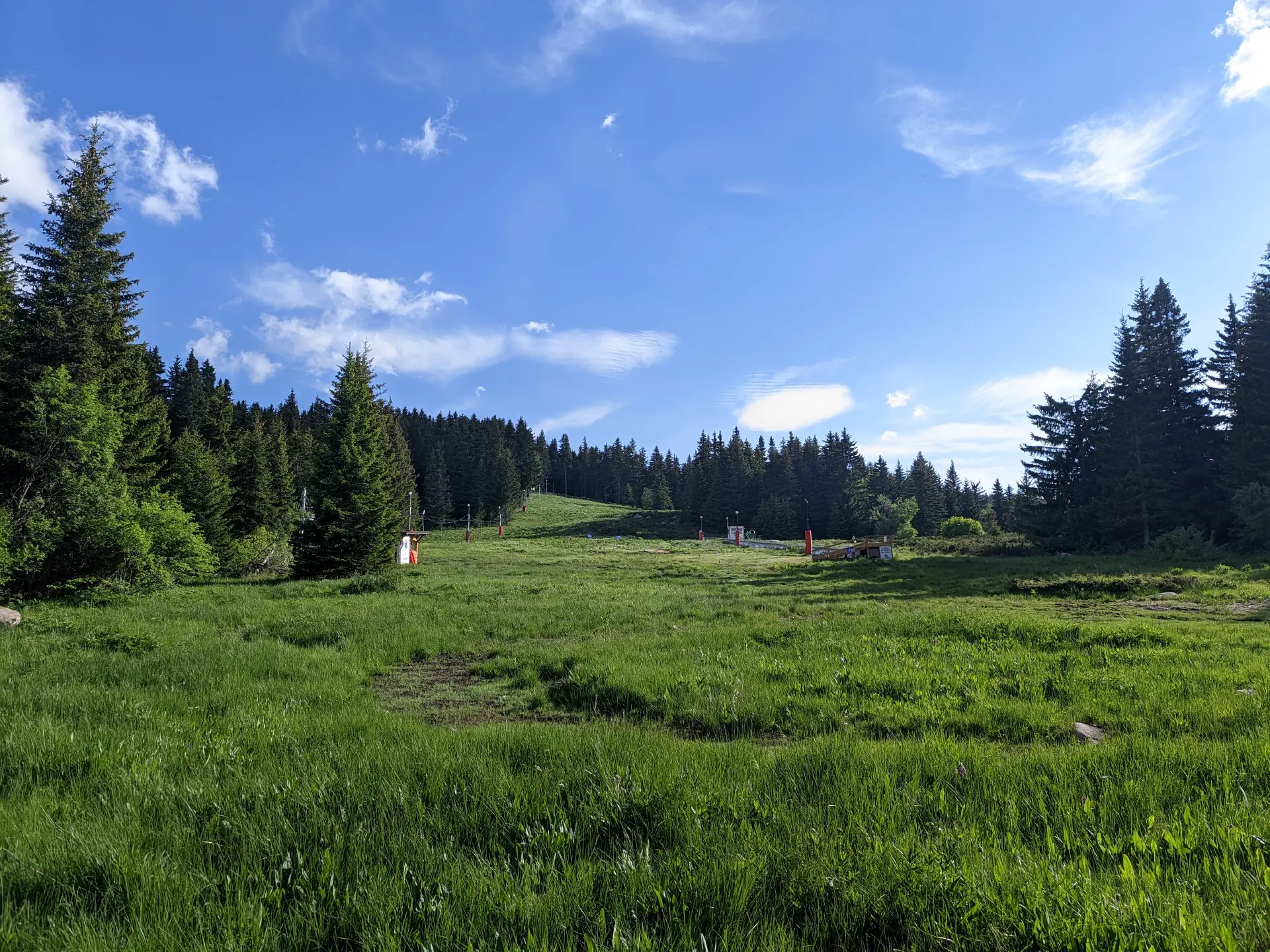
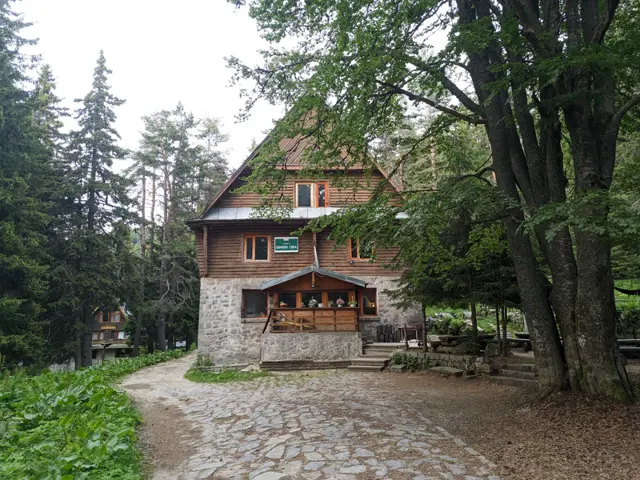
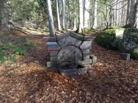
Soon the forest will thin out and we will find ourselves out in the open, where the vegetation consists mostly of grasses and bushes, with an occasional rowan tree that keeps its clusters of red berries on its branches even through the winter. To our left, we will see the Ofeliite ski slope. A little further ahead, we will cross an asphalt road once more, after which the forest returns. Soon the incline will steepen, and the trail will make a few switchbacks to ease the slope. When we reach the next fork, turning right will bring us after about fifty meters to Edelweiss Hut, which has a wonderful yard with gazebos and a water fountain. This same fork gives us the option to shorten our route by heading directly toward Kumata Hut, or to continue uphill toward Konyarnika as described on this page.
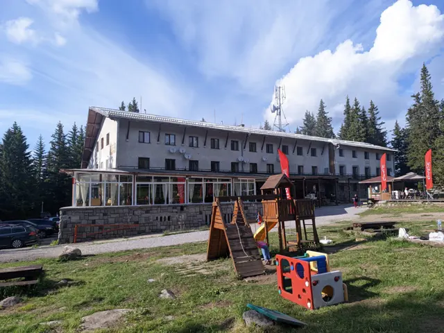
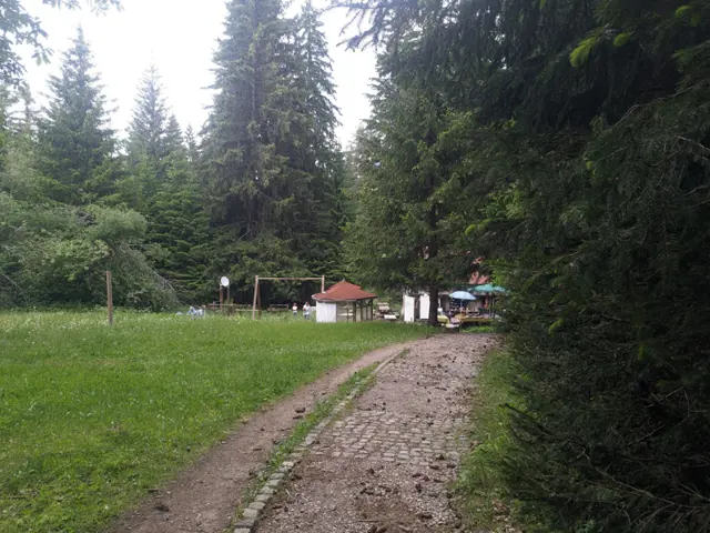
If miss the turnoff to Edelweiss Hut, just five minutes later we will have a second opportunity to rest as we reach Zvezditsa Hut. It is massive, and the meadows in front of it are huge, packed with all kinds of benches and attractions for children. There is even a ski slope.
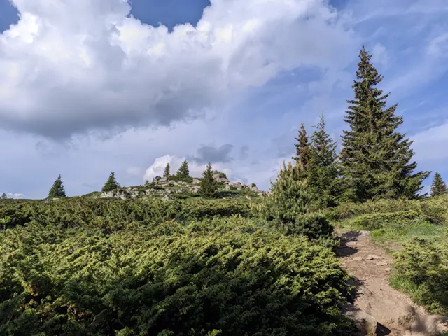
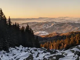
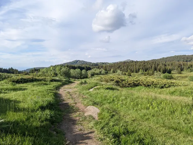
The trail toward Konyarnika crosses the meadow in front of the hut and, after a long wooden bridge that saves us from trudging through its marshy edge, enters the forest once more. At the beginning, there is another wooden bridge, much smaller, which we use to cross a small stream. After that, we walk mostly on level ground, even descending a bit to cross yet another stream. Then comes an uphill climb, and very soon we will break out of the forest. To the left is Konyarnika peak, after which the area we are about to pass through is named. Or maybe the peak is named after the area, who knows? Viewed from the trail, the peak looks like just a tiny hill on the left, with a faint path through the grass marking the turnoff, so we can hike up it if we wish. Beyond the peak, it is all meadows and juniper bushes, all the way to the fork for Cherni Vrah, located at the Konyarnika shelter.
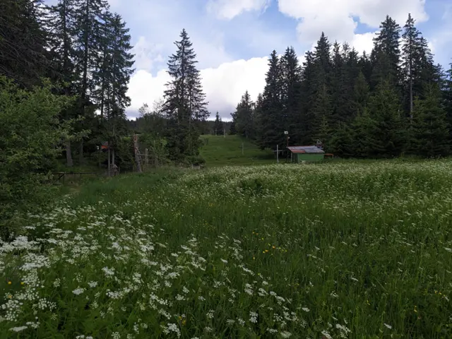
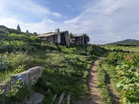
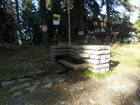
Konyarnika Shelter is yet another spot where we can sit down for a break. There are benches on the meadow out front as well as inside its vestibule, and the view looks out over the wide subalpine section of the mountain and toward Cherni Vrah itself. Across from the shelter stands another building - the abandoned lower station of the 'Konyarnika' ski lift, whose pylons we will see to our right.
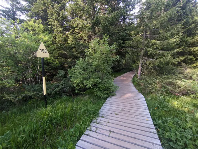
To continue toward Kumata Hut, we need to follow the blue trail markers toward the forest, which largely run alongside the numbered metal poles marking the winter trail. Soon we will spot a concrete road looping around the trail from the left, though the markers do not follow it. Since the trail itself is often marshy, taking this road is frequently the better option. After that, we will reach the Vladayska River, which we will cross via a wooden bridge. Before this bridge, there are also two alternative routes, and the trail markers cover both, so exactly which way you go doesn't matter much. If we follow the metal poles, which is the shorter route, we will cross the bridge and, after a brief walk through the forest, emerge onto the dirt road where we will meet back up with the more roundabout variation of this section of the path. After a short walk along the road, there is another fork where we leave the road and head through the forest. Just before reaching Kumata Hut, the trail has some stone steps; once you reach them, the hut's chapel (yes, the hut has a chapel) will be on your left in the woods.
Kumata Hut has a very cozy dining hall and offers a wide selection of dishes, making it yet another excellent option for a rest stop.
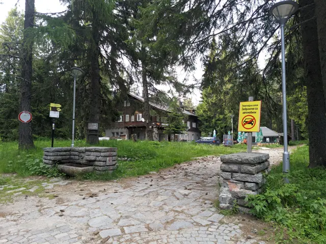
From Kumata Hut, we could head directly back down to Zlatnite Mostove, but the route described here continues past two more huts and a restaurant. These three buildings are located right next to each other. To reach them from Kumata Hut, we take the asphalt road which, after about ten minutes, will lead us right to the entrance of the 'Boeritsa' hotel and restaurant at the point where the road bends to the left. Just past the hotel, you will find the Borova Gora Hut and Planinarska Pesen Hut. If we are hungry or thirsty, we have plenty of options here.
After Planinarska Pesen Hut, we head downhill toward Zlatnite Mostove. First, we will cross a stone river, after which we will reach yet another fork. To the right, a path climbs gently and continues toward the abandoned Bor Hut, while our route continues down to the left. The terrain is gentle at first, then the incline becomes quite steep, but not for long - before the next fork, we will be walking on level ground again. Once we pass a wire-fenced area on our right, our path will merge into the trail that runs from Zlatnite Mostove to Kamen Del peak.
Here we have an opportunity to extend our route a bit further - if we head to the right, toward Kamen Del peak, we will very soon see a fork for Septemvri Hut, which is just a five-minute walk away.
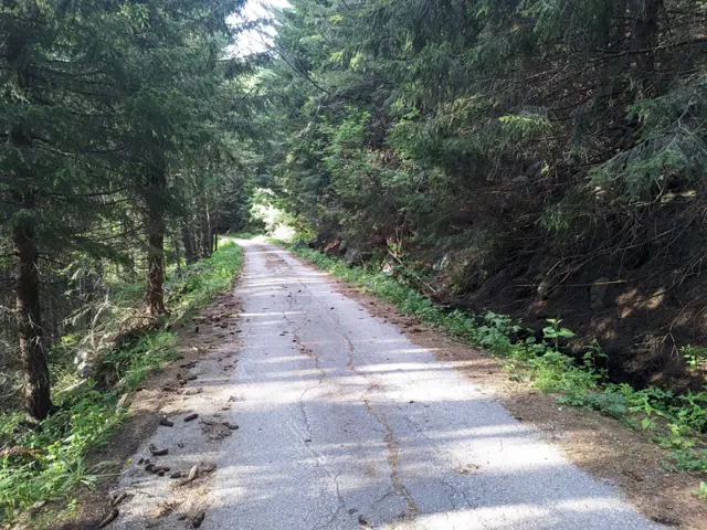
On the other hand, if we've had enough huts for the day, we turn left at the fork by the fence and walk until we reach the asphalt road connecting Zlatnite Mostove with Stambolov's Meadow (the meadow in front of Momina Skala Hut). We make another left turn here, pass the meadow with the stone shelter, and find ourselves back on the asphalt road, which brings us back to the Zlatnite Mostove stone river in five to ten minutes.
Reviews
Related routes
Trails that cross or pass near the current one.
 Easy
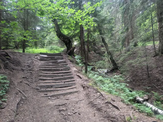
From the bus stop at Zlatnite Mostove, you walk along the asphalt road for about ten minutes. After two large bends, you take a forest path that branches off to the right from the road. Its second half is steep, but stone steps have been built to make it easier. This path leads to the wide meadow in front of the hut.
Росен Пантелеев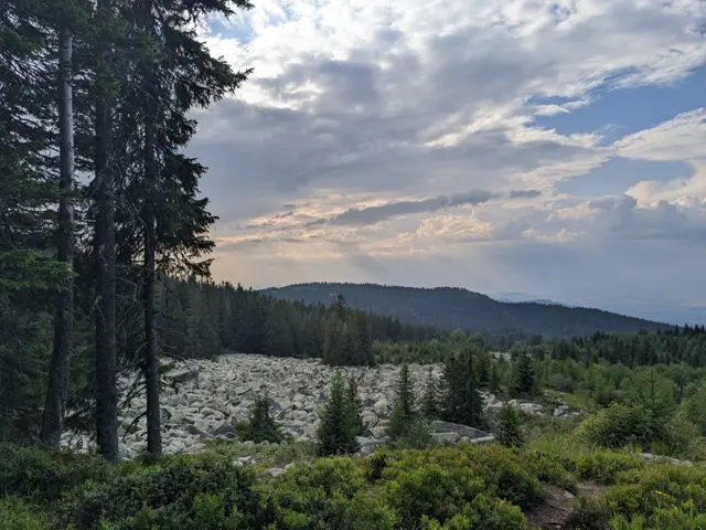 Moderate
The trail from Edelweiss Hut to Kumata Hut is short, almost flat, but very diverse. We will walk through a forest, past stone rivers and meadows with views of the mountains in the Kraishte region (northwest of Vitosha), finally crossing the Vladayska River at a spot where it forms a wide pool among large, rounded boulders. The route is most enjoyable during the warmer months, because the trail is not very popular and the markings are sparse, so it is easy to get lost in winter when fresh snow has fallen, and deep snowdrifts tend to form in the open sections.
Росен Пантелеев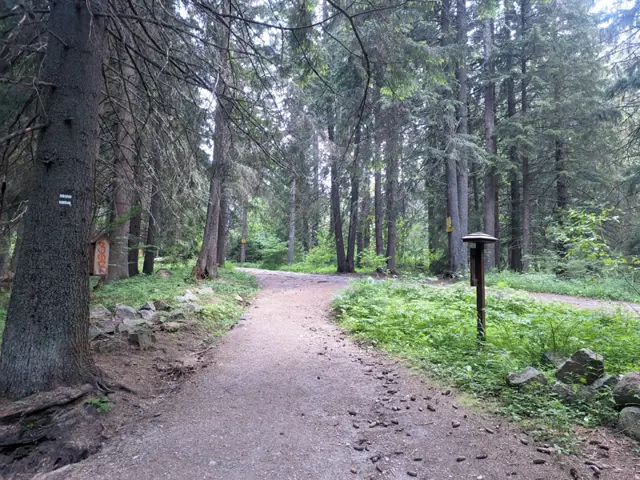 EasyРосен Пантелеев
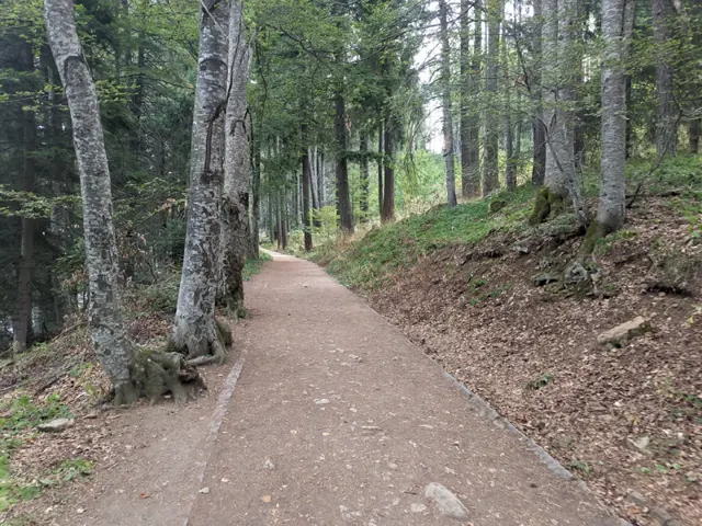 ModerateРосен Пантелеев
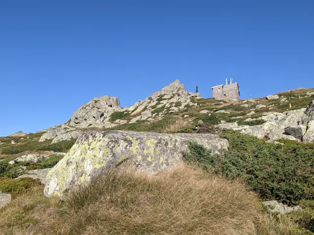 Moderate
Climbing Cherni Vrah from Zlatnite Mostove is likely the second-most popular route to the peak after the one from Aleko Hut. The elevation gain from here to the summit is greater, but you have a place to rest and eat along the way at Kumata Hut. Although the trail gets boggy in places after the hut and crosses the Vladaya River, there are no drinking fountains on it, so it is a good idea to stock up on water.
Росен Пантелеев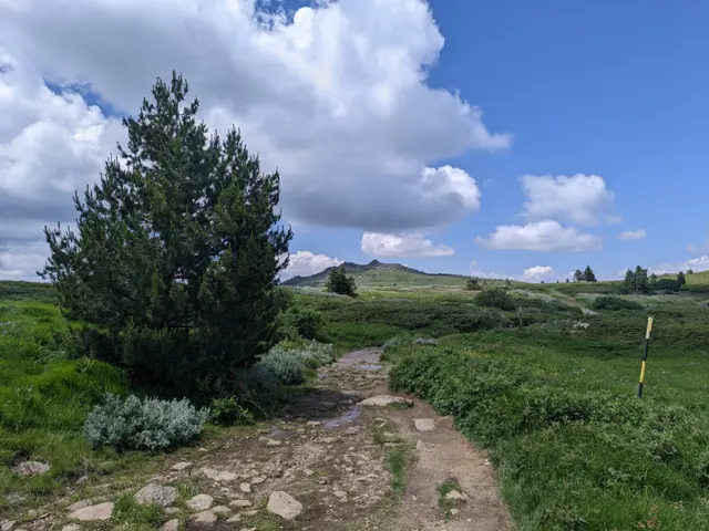 ModerateРосен Пантелеев