


Edelweiss Hut
Located among a coniferous forest in the Machovoto area, not far from Ostritsa peak.
Amenities
Opening Times
Trails
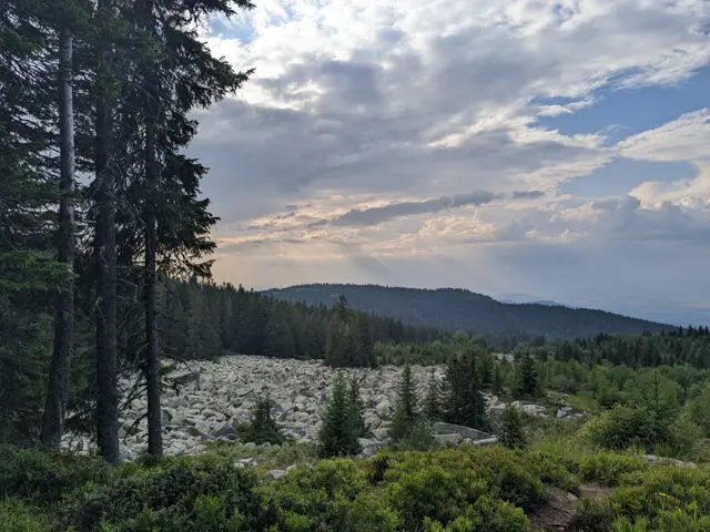 Moderate
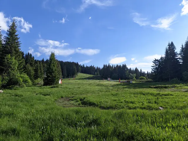 Moderate
Nearby Places
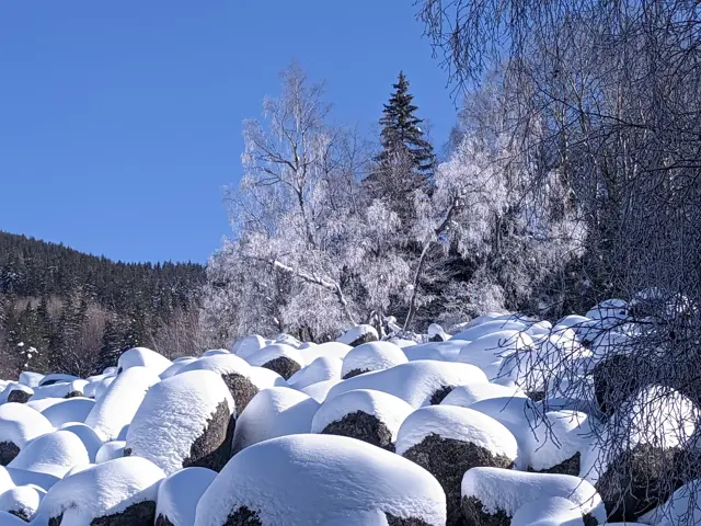
Zlatnite Mostove
1405 m"Zlatnite Mostove" (The Golden Bridges) is the largest stone river on Vitosha Mountain. It is located at an altitude of 1,350 to 1,500 meters, and beneath its rocks flows the Vladayska River - the very same one that flows under the Lions' Bridge in Sofia. Some people wonder about this, so let me clarify: the Golden Bridges are neither golden, nor are they actually bridges. Yes, it often happens that someone stands right in front of them and asks where the bridges are. According to Wikipedia, the golden color in the name comes from the color of the lichens on the stones, but to me, the lichens look more like green, so I don't know. However, an interesting fact is that the figurative name of the area still holds a fraction of literal truth — there are very real golden grains in the sands of the Vladayska River, which flows under the Bridges. They are very rare, but they do exist. If you look closely at the sand at the bottom, especially on a sunny day, you will see golden glittering particles. That is not gold. That is mica, which is light and floats to the very top of the sand. Gold is heavy and sinks. You won't see it. The Golden Bridges are a stone river (or a stone run). A stone river simply means a long scree of large rocks, beneath which a river may or may not flow. The Golden Bridges happen to be a stone river that an actual river runs underneath.
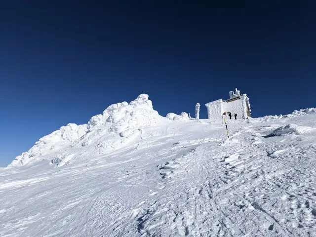
Cherni Vrah (Black Peak)
2290 mCherni Vrah is the highest peak of Vitosha Mountain. Most of its dome consists of a wide alpine meadow dotted with numerous benches and picnic tables. Surrounding it are several mounds of large boulders, one of which marks the exact summit elevation. A weather station is built at the summit, housing a tourist tea house and a Mountain Rescue Service post. The station’s vestibule is open 24/7, even when the tea house is closed, serving as a shelter during bad weather. In front of the stairs leading to the tea house entrance, visitors are greeted by the wooden sculpture of Spas the Bear, a favorite photo spot for those who reach the top. Trails from all corners of Vitosha lead to the summit. The most popular routes start from Aleko Hut, Zlatnite Mostove (Golden Bridges), and the village of Zheleznitsa. The winter trail marking is excellent—closely spaced, numbered poles start from the various trailheads, with the numbers counting down toward the summit, where pole number 1 stands.
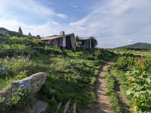
Konyarnika Shelter
1783 mKonyarnika Shelter is located on a wide meadow in the area of the same name, close to the abandoned ski tow. Both the shelter's vestibule and the meadow in front of it feature wooden tables and benches, making the spot a popular resting place during hikes to Cherni Vrah (Black Peak). The trails to Cherni Vrah coming from Kumata Hut and Zvezditsa Hut converge at the shelter. Konyarnika Peak is located about a hundred meters behind the shelter.
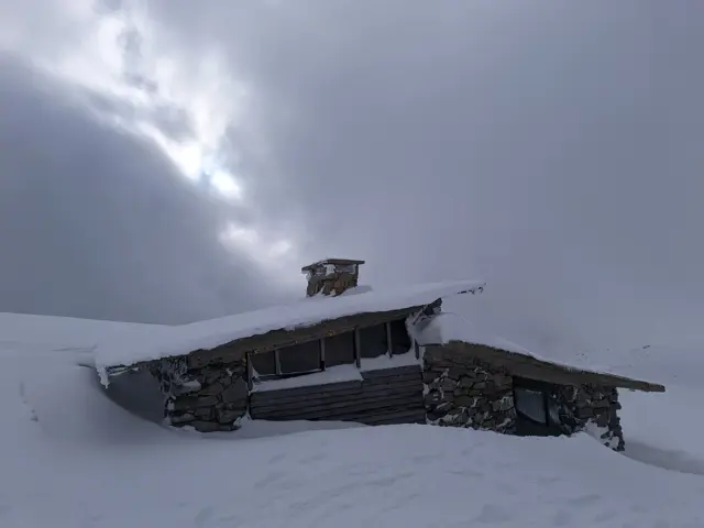
Samara Shelter
2062 mShelter at the foot of Vrah Samara. It has a vestibule and two rooms, one of which has a bunk-style bed.
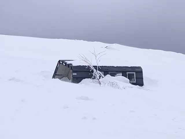
The newest shelter on Vitosha.
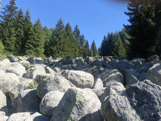
A small stone river located north of Kumata Hut, at the very beginning of the direct trail leading from the chalet to Golden Bridges (Zlatnite Mostove).