Zlatnite Mostove – Kumata Hut – Cherni Vrah
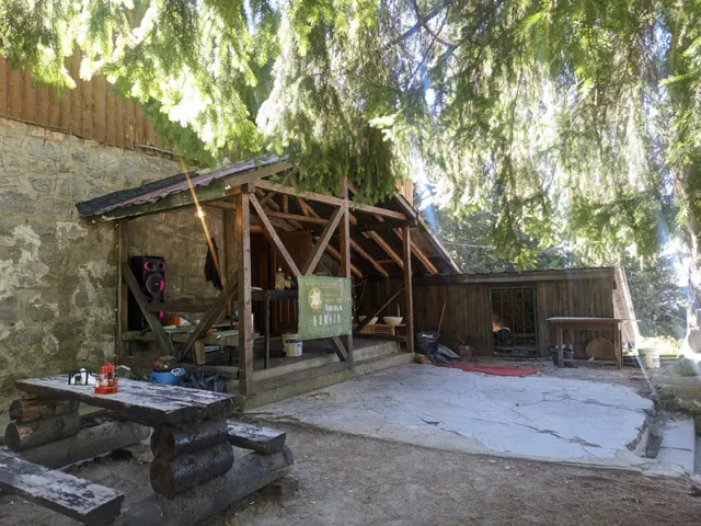
Climbing Cherni Vrah from Zlatnite Mostove is likely the second-most popular route to the peak after the one from Aleko Hut. The elevation gain from here to the summit is greater, but you have a place to rest and eat along the way at Kumata Hut.
Although the trail gets boggy in places after the hut and crosses the Vladaya River, there are no drinking fountains on it, so it is a good idea to…
Elevation profile
Waypoints


Segments
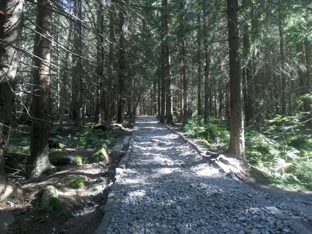
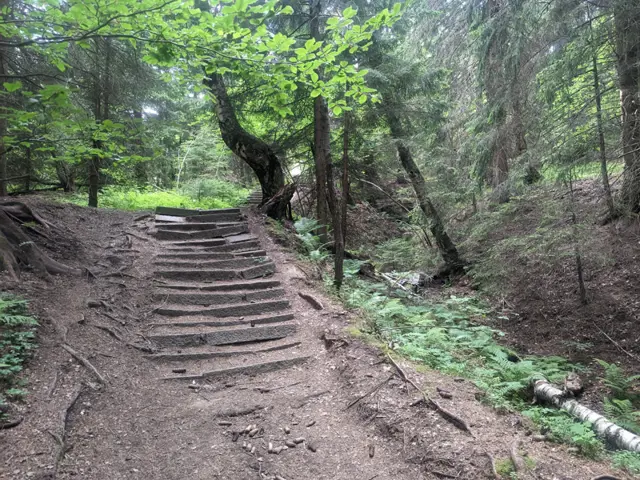
The trail to Kumata Hut starts from the stone river of Zlatnite Mostove itself and continues alongside it up a steep section, where wide wooden boardwalks and steps are installed for convenience. However, when it is damp, and especially in autumn when the moisture begins to freeze, these very wooden boardwalks and steps become so slippery that walking on them is practically impossible. Fortunately, there is a metal handrail alongside them that you can hold onto while slowly making your way up the slick planks. In winter, this entire section freezes over, but by then it is assumed you will have put on microspikes and won't have any trouble slipping.
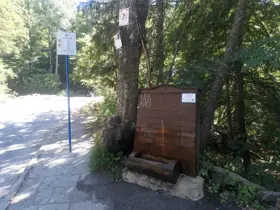
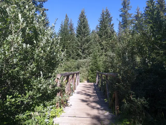
After ascending the slope, you cross the Vladayska River (at that place it is a small stream) via a small wooden bridge and pass the junction for the Vetrovala ski slope. From this point to the hut, there are a few more relatively steep sections alternating with flatter stretches. About two-thirds of the way from the start, shortly before the trail crosses the asphalt road, you will pass a year-round water fountain on the right at the junction for the Boeritsa area.
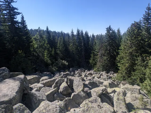
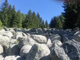
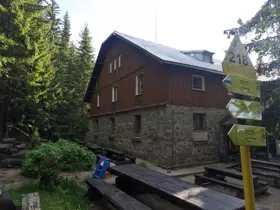
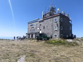
The hike goes through the forest the entire time, except for the last five minutes before reaching the hut, where the trail crosses a stone river.
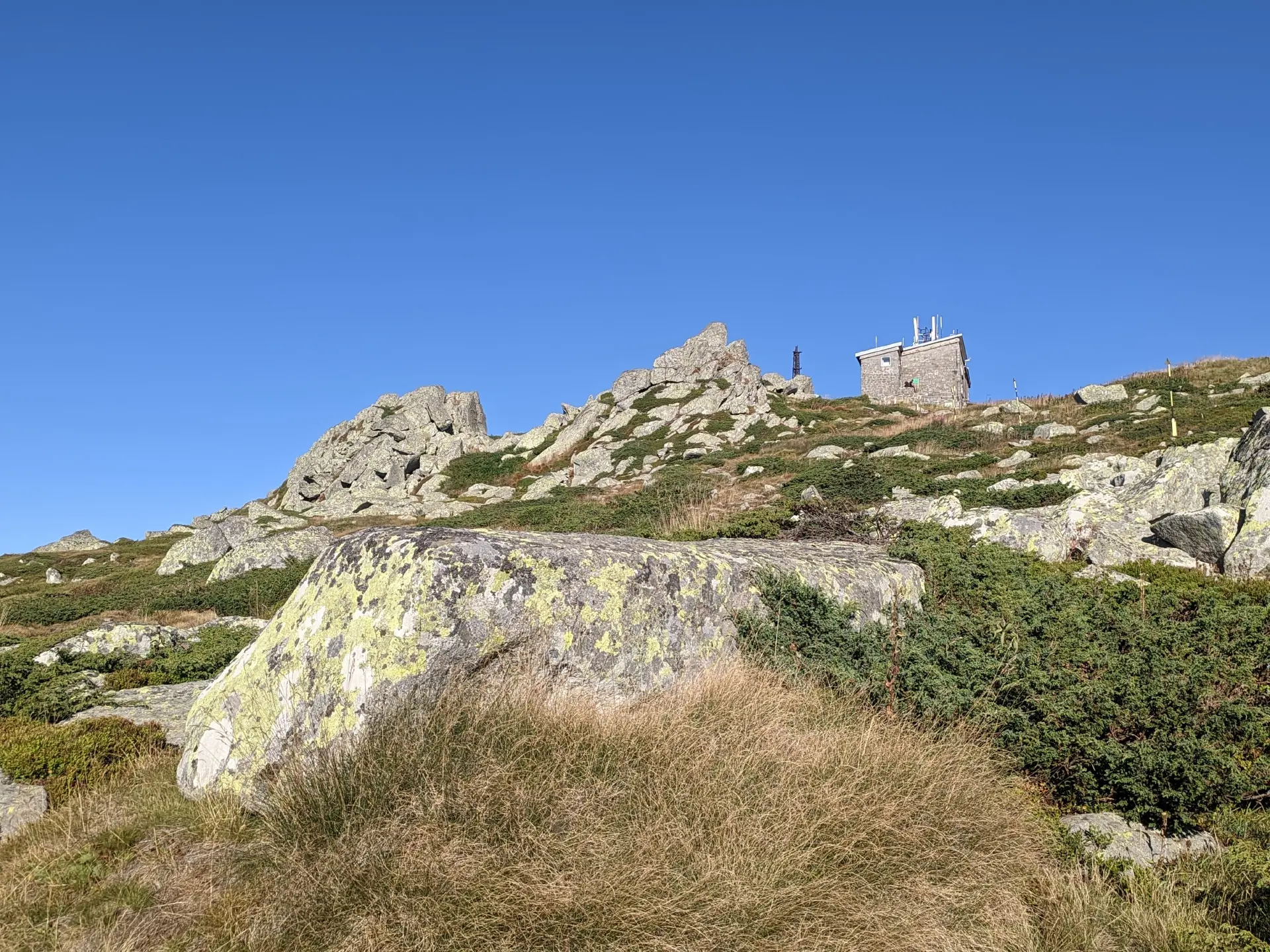
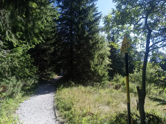
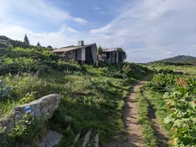
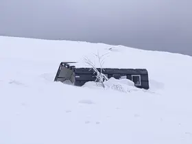
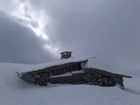
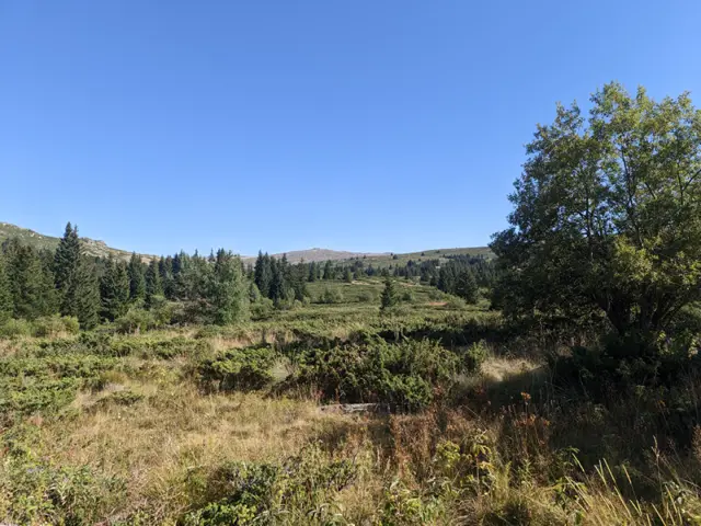
After Kumata Hut, you start walking up stone steps through the forest and come out onto a dirt road, which you will soon leave by turning right. Here, the trail merges with the winter trail stakes, whose numbering decreases as you head toward the peak. Soon, you will cross the Vladayska River again, once more via a small wooden bridge, and emerge into a wide meadow. There is a fork here – the marked trail goes slightly to the left across the meadow, but since it is often marshy there, it is better to take the concrete road to the right, which runs almost parallel to the path. Either way, you will end up at the Konyarnika shelter. Here, you leave the winter trail stakes and head straight up the ski slope beneath the abandoned ski lift, whose large, two-legged pylons you will see ahead. This section is steep, and since you are now out in the open, it can get very hot here in the summer. However, once you climb up to the plateau, a breeze usually picks up. Follow the flat (and slightly descending) path to the left, where you will encounter the winter marking stakes again. Thi Kadentsi Shelter (also known as shelter "2050") will be on your right, just off the trail. You will pass a water catchment area enclosed by a wire fence, and then two turn-offs on the right leading to Selimitsa Hut. After that, the flat stretch ends, and you begin the final ascent toward the summit. This part passes by the Samara shelter and becomes steeper just before Cherni Vrah, but the winter marking stakes get closer together there, so do not be discouraged by the numbers written on their plates – the steep section is not long.
Reviews
Related routes
Trails that cross or pass near the current one.
 Easy
From the bus stop at Zlatnite Mostove, you walk along the asphalt road for about ten minutes. After two large bends, you take a forest path that branches off to the right from the road. Its second half is steep, but stone steps have been built to make it easier. This path leads to the wide meadow in front of the hut.
Росен Пантелеев ModerateРосен Пантелеев
 ModerateРосен Пантелеев
 Moderate
This is one of the longer circular trails that can be taken from the Zlatnite Mostove (Golden Bridges) area. The route follows well marked trails, passing mostly through coniferous forests and meadows, and reaches its highest point at the Konyarnika area, which offers a view of Cherni Vrah. Along the way, there will be numerous opportunities to rest - six mountain huts, multiple gazebos, and a shelter. Drinking water along the trail is also not an issue, as we will pass by several water fountains.
Росен Пантелеев Easy
An alternative route from Momina Skala Hut to Zlatnite Mostove, passing through the area of Bukara, where it merges with the direct path from Kopitoto, Malkoto Kopitoto (the path through Planinishki Livadi), as well as the red-marked trail to Boyanа Waterfall.
Росен Пантелеев EasyРосен Пантелеев