Selimitsa Hut
Amenities
Current Closure
Nearby Places
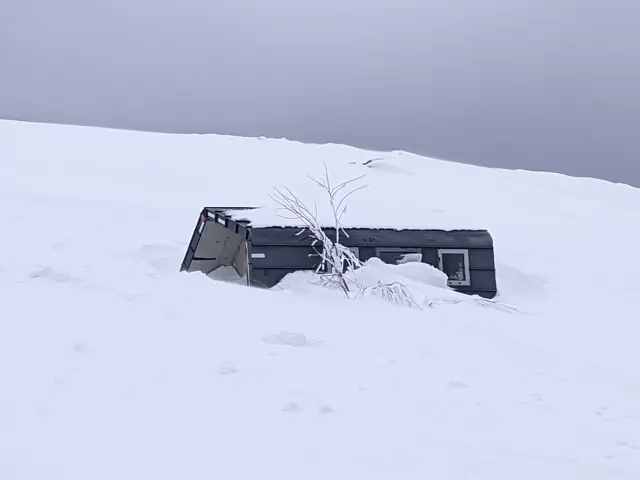
The newest shelter on Vitosha.
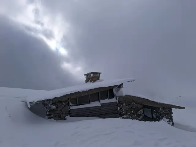
Samara Shelter
2062 mShelter at the foot of Vrah Samara. It has a vestibule and two rooms, one of which has a bunk-style bed.
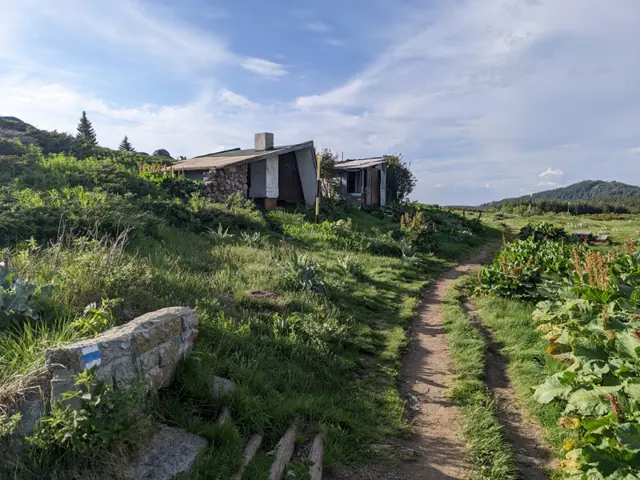
Konyarnika Shelter
1783 mKonyarnika Shelter is located on a wide meadow in the area of the same name, close to the abandoned ski tow. Both the shelter's vestibule and the meadow in front of it feature wooden tables and benches, making the spot a popular resting place during hikes to Cherni Vrah (Black Peak). The trails to Cherni Vrah coming from Kumata Hut and Zvezditsa Hut converge at the shelter. Konyarnika Peak is located about a hundred meters behind the shelter.
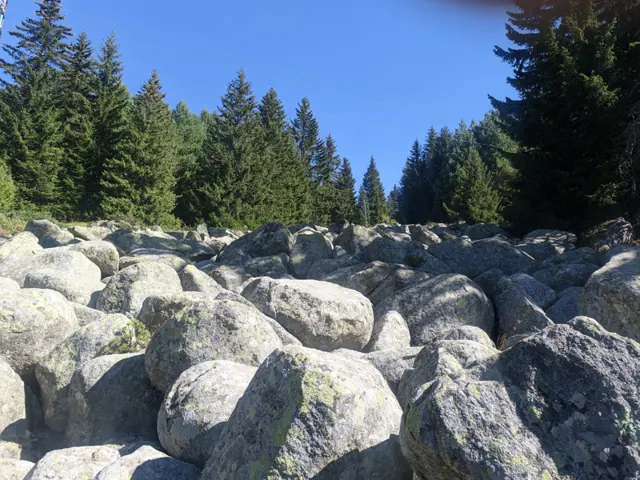
A small stone river located north of Kumata Hut, at the very beginning of the direct trail leading from the chalet to Golden Bridges (Zlatnite Mostove).
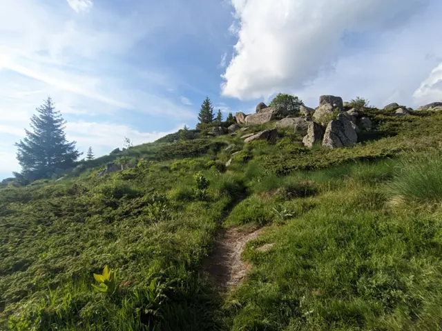
Konyarnika Peak
1782 mKonyarnika peak is the highest point of the area of the same name on Vitosha Mountain. It is located about a hundred meters northeast behind the Konyarnika Shelter and takes the form of a small hill overgrown with juniper. At its summit, there are a handful of 'pseudo-moraines' - the large, rounded boulders characteristic of Vitosha. Two marked trails pass by the peak. One is the winter trail from Kumata Hut to Cherni Vrah (Black Peak), which is marked with metal poles, while the other comes from Zvezditsa Hut and Edelweiss Hut, merging into the first trail right at the shelter. The peak can be easily climbed via a short detour from Zvezditsa Hut and Edelweiss Hut trail, the track of which is clearly discernible through the juniper bushes.