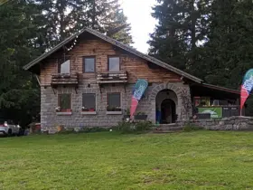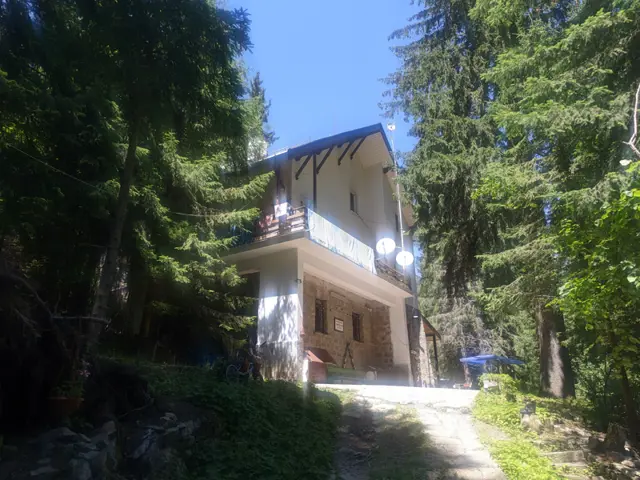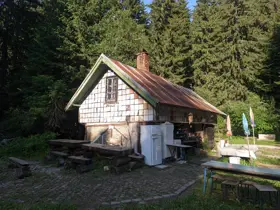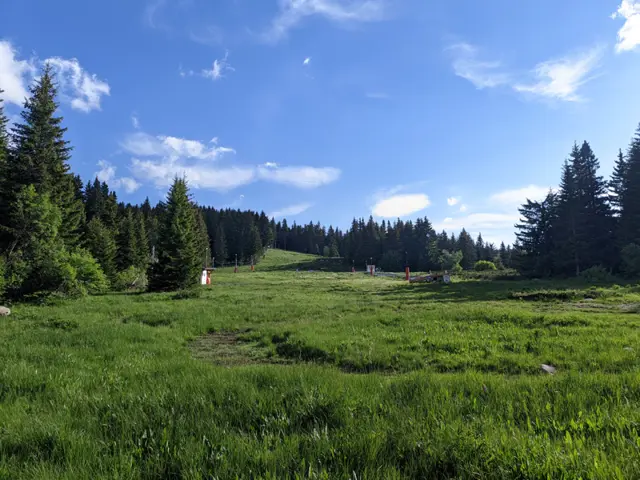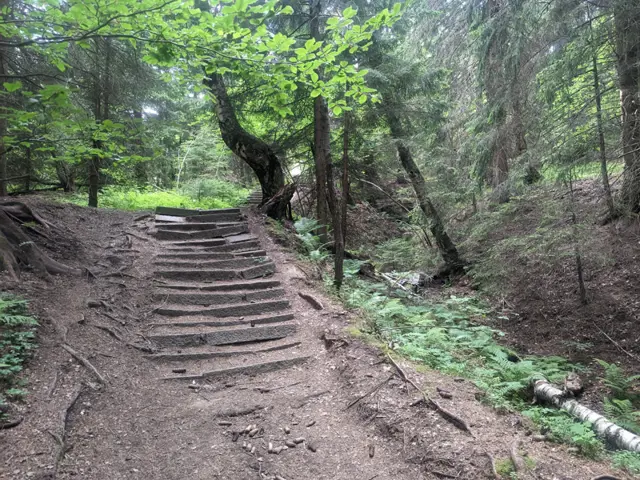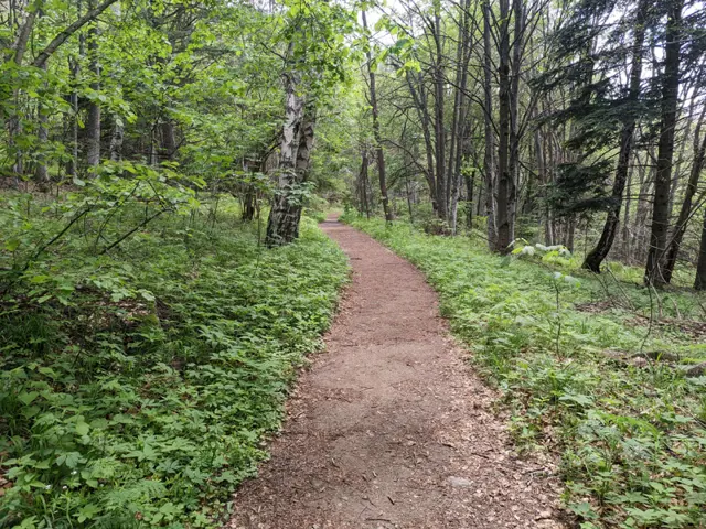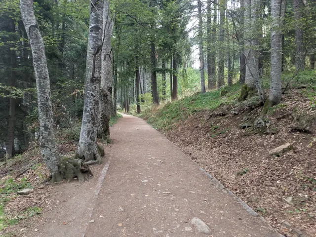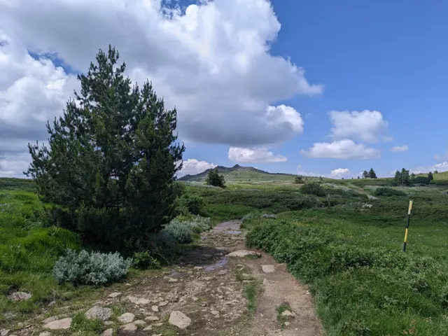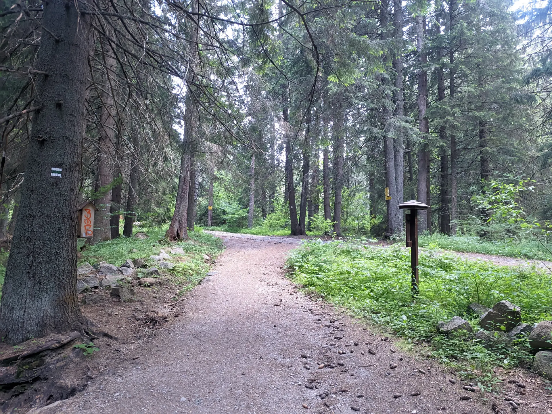
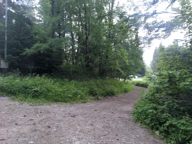
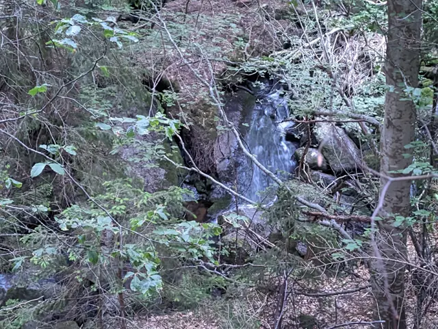
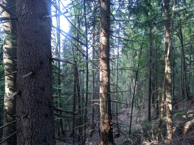
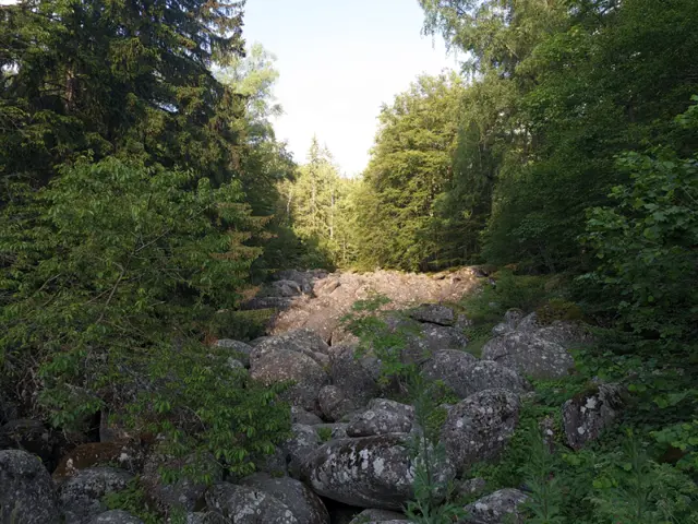
Kompositorite Hut – Zlatnite Mostove (skirting the BNR Hut)
Home/Trails/Kompositorite Hut – Zlatnite Mostove (skirting the BNR Hut)Rate

Kompositorite Hut – Zlatnite Mostove (skirting the BNR Hut)

Hiking·2.13 km·31 min·63 m

Elevation profile

1586 m1436 m1286 m
1493 m1379 m
0 km1.1 km2.13 km

Waypoints

Segments

Ascent / descent↑40 m ↓5 mTechnical difficultyT1Fitness difficultyMarking typeSignpostsTerrainForestSurfaceDirt path
Ascent / descent↑23 m ↓129 mTechnical difficultyT1Fitness difficultyMarking typeColor marks · SignpostsTerrainForestSurfaceDirt path · Dirt road
The route and GPX file are approximate and may have been submitted or verified by a user like you. Check the source, date, forecast, restrictions, and your own preparedness. Don't rely solely on your phone or a single GPS track. In case of immediate danger, call 112.
Росен Пантелеев

Trail contributed by

Росен Пантелеев

56 trails·281 places·1 reviews·Member since Apr 2026

Forecast for Kompositorite Hut – Zlatnite Mostove (skirting the BNR Hut)

Forecast by meteoblue

Reviews

No reviews yet.

Related routes

Trails that cross or pass near the current one.
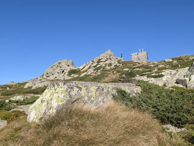
Zlatnite Mostove – Kumata Hut – Cherni VrahModerate
Hiking·VitoshaModerate
8.26 km·3 h 40 min·945 m·64 m

Climbing Cherni Vrah from Zlatnite Mostove is likely the second-most popular route to the peak after the one from Aleko Hut. The elevation gain from here to the summit is greater, but you have a place to rest and eat along the way at Kumata Hut. Although the trail gets boggy in places after the hut and crosses the Vladaya River, there are no drinking fountains on it, so it is a good idea to stock up on water.

Zlatnite Mostove Bus StopCherni Vrah Shelter
Circular route from the Golden Bridges via Konyarnika and several hutsModerate
Hiking·VitoshaModerate
9.59 km·3 h 20 min·404 m·396 m

This is one of the longer circular trails that can be taken from the Zlatnite Mostove (Golden Bridges) area. The route follows well marked trails, passing mostly through coniferous forests and meadows, and reaches its highest point at the Konyarnika area, which offers a view of Cherni Vrah. Along the way, there will be numerous opportunities to rest - six mountain huts, multiple gazebos, and a shelter. Drinking water along the trail is also not an issue, as we will pass by several water fountains.

Zlatnite MostoveZlatnite Mostove
Zlatnite Mostove – Kompozitorite HutEasy
Hiking·VitoshaEasy
1.28 km·20 min·109 m·20 m

From the bus stop at Zlatnite Mostove, you walk along the asphalt road for about ten minutes. After two large bends, you take a forest path that branches off to the right from the road. Its second half is steep, but stone steps have been built to make it easier. This path leads to the wide meadow in front of the hut.

Zlatnite MostoveKompozitorite Hut
Momina Skala Hut – Zlatnite MostoveEasy
Hiking·VitoshaEasy
3.52 km·1 h·53 m·145 m

An alternative route from Momina Skala Hut to Zlatnite Mostove, passing through the area of Bukara, where it merges with the direct path from Kopitoto, Malkoto Kopitoto (the path through Planinishki Livadi), as well as the red-marked trail to Boyanа Waterfall.

Momina Skala HutZlatnite Mostove
Septemvri Hut - Zlatnite MostoveModerate
Hiking·VitoshaModerate
1.64 km·30 min·63 m·166 m
Septemvri HutZlatnite Mostove Bus Stop
Aleko Hut - Kamen Del Peak - Zlatnite MostoveModerate
Hiking·VitoshaModerate
8.71 km·3 h·123 m·548 m
Aleko HutZlatnite Mostove Bus Stop