Dragalevtsi – Bay Krastyo Shelter - Aleko Hut
Elevation profile
Waypoints


Segments

Reviews
Related routes
Trails that cross or pass near the current one.
 ModerateРосен Пантелеев
 Moderate
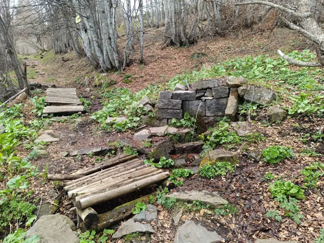
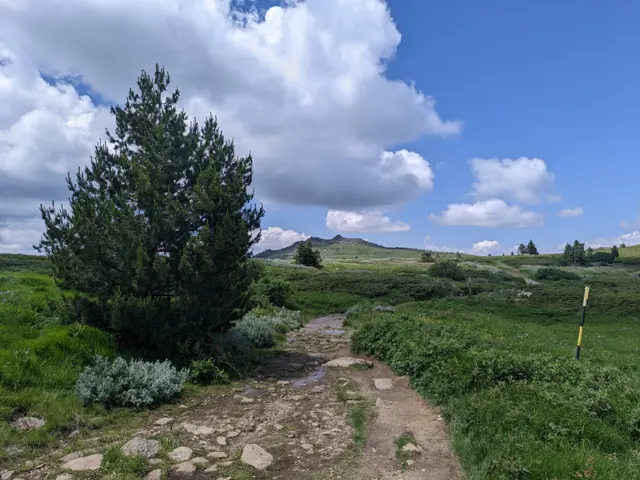
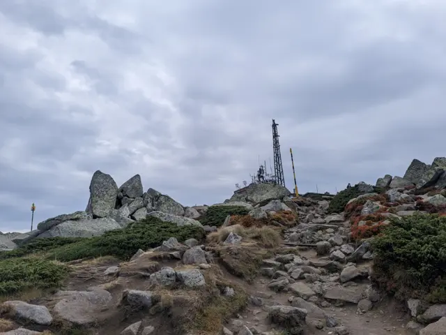
This is the summer route to Cherni Vrah from Aleko Hut, which is also known as "the trail through the Wall" (Stenata). It is famous for its steep first half, but that is only because most people head straight up along the shortcuts worn down by descending hikers, or along the ski run, instead of following the switchbacks where the official trail markings go. If you follow the markings, your climb will be much easier. The GPX track here was recorded along the gentler, marked switchbacks. The route begins at the meadow in front of Aleko Hut, just past the water fountain, where the trail uphill is clearly visible. From there, we gradually gain altitude, with Malak Rezen peak appearing on the left and the two peaks of Ushite visible in the distance on the right. We pass an abandoned building which, according to the BgMountains map, is the former top station of the "Zaeka" (The Rabbit) ski lift. There is a water fountain next to it that runs all summer long. Once we reach the fork where our trail merges with the dirt road and the pole markings alongside it, we will catch our first glimpse of the summit. We walk along the dirt road for about ten minutes and then branch off to the right, following the winter pole markings - at this point, the winter and summer trails coincide. First, we descend to the small bed of a little stream, crossing it over a wooden bridge. After that, the trail splits into several paths running roughly parallel to each other. In some spots, it is necessary to bypass marshy areas that change position and size depending on the season, so the variety of paths is quite helpful. Once we reach the teahouse and the meadow in front of it, we are almost at the top. This is where the route ends for most people, but if you are an enthusiast, you can climb up to the actual highest point of Vitosha—the pile of large boulders about fifty meters from the teahouse. From there, we can look down on the other hikers.
Росен Пантелеев
 Moderate
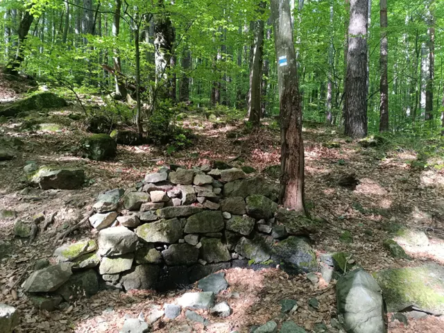
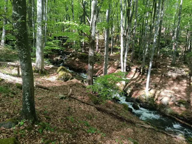
The route from the Momina Skala Hut to the Bai Krastyo Shelter is part of Vitosha’s mid-mountain (elevation-wise) ring trail. The climbs and descents along the path are mainly gradual, and we walk mostly through the forest, though views of Sofia open up frequently along the way. The trail crosses a vast stone river and later traverses a stream (Dragalevtsi River) featuring a small waterfall. Note that this route is suitable only for summer travel, as a portion of the trail passes through an avalanche-prone area.
Росен Пантелеев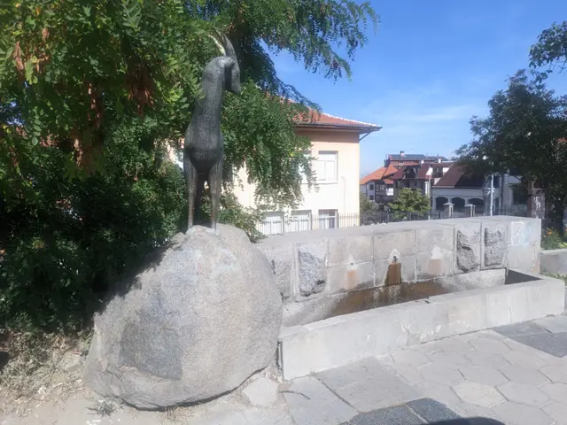 Moderate
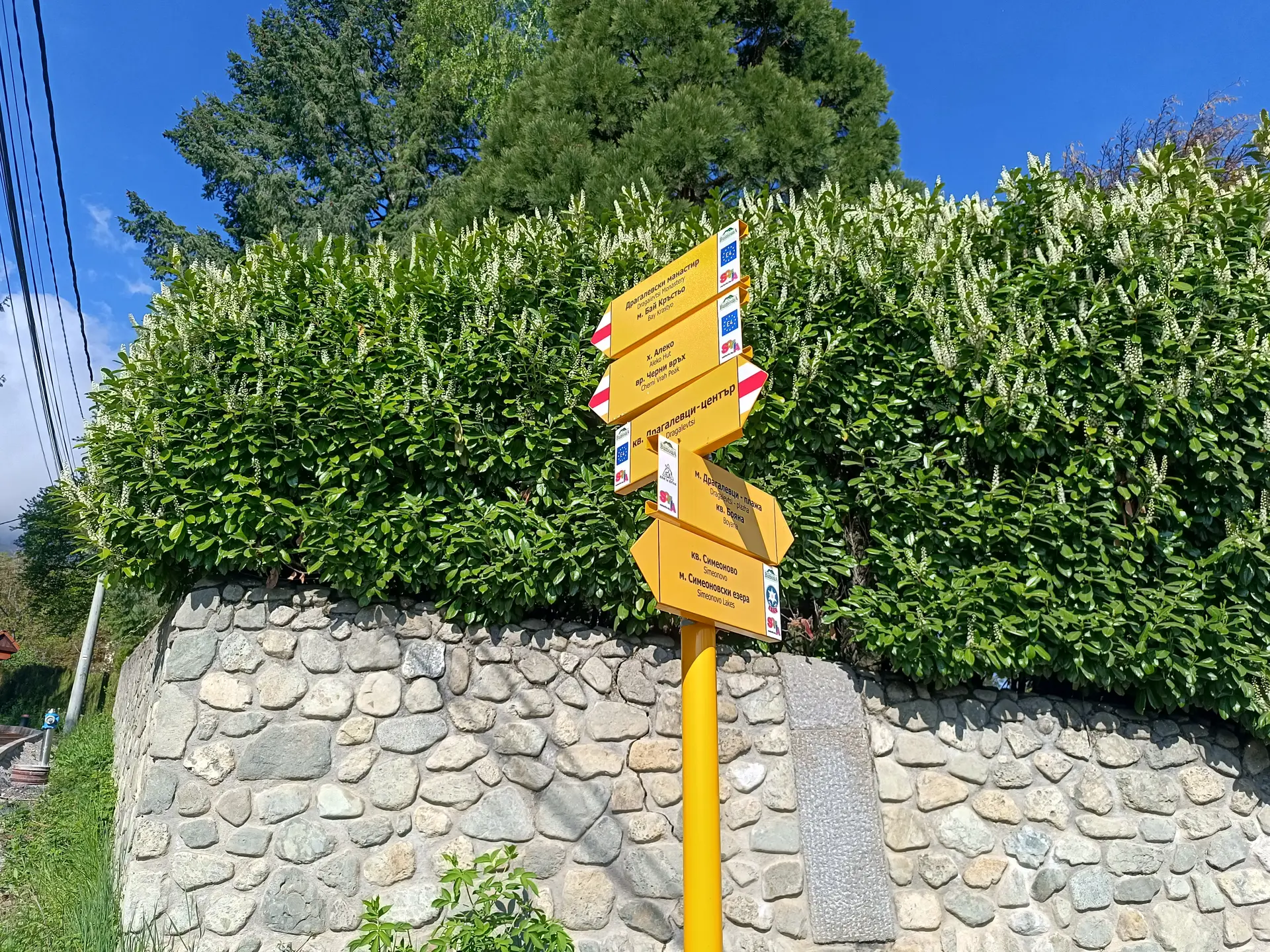
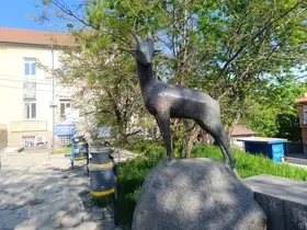
The trail from Dragalevtsi to the Dragalevtsi Monastery, described here, starts from the neighborhood square. This square features a drinking fountain with a sculpture of a mountain goat. The trails to Aleko Hut and Cherni Vrah also begin from this same spot.
Росен Пантелеев