


Knyazhevo - Septemvri Hut
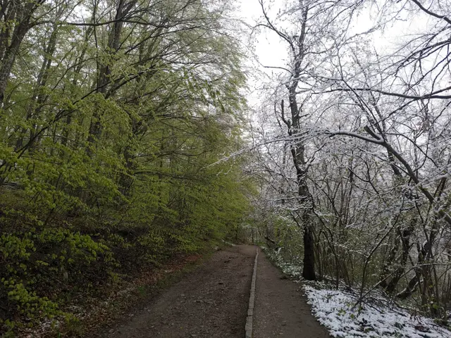
The hiking path from Knyazhevo to Golden Bridges Stone Run is probably the most popular in Vitosha. The current route follows it to the Beli Breg area, and then it turns towards Septemvri Hut.
Elevation profile
Waypoints


Segments

Reviews
Related routes
Trails that cross or pass near the current one.
 Moderate
 Росен Пантелеев
 Hard
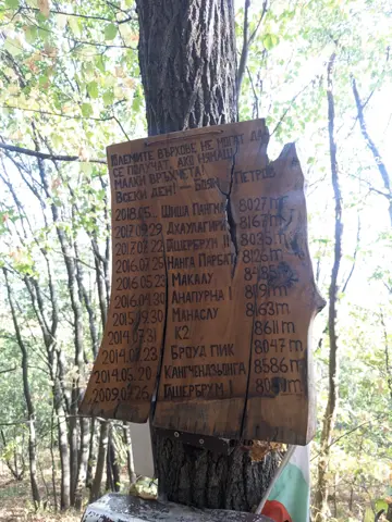
This is a trail that runs beneath the former Kopitoto chairlift. It was used by the legendary alpinist Boyan Petrov for endurance training. The route starts on the marked trail to the Golden Bridges and branches off to the left before the first footbridge. It then passes a residential building, crosses the Old and New Belovodski roads one after the other, and heads sharply uphill through the forest, where the actual challenge begins.
Росен Пантелеев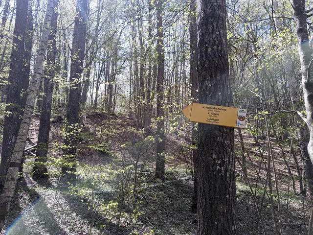 Easy
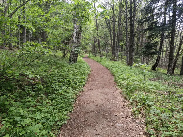
This is a short but varied route. You will pass by two lakes in the Dendrarium area, then descend along a rocky forest path to the Planinishka River, which you will cross over a wooden bridge, and then climb up to the wide and, hopefully, sunny Iglikina Meadow.
Росен Пантелеев EasyРосен Пантелеев
 Easy
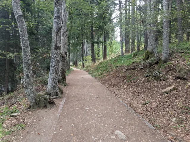
An alternative route from Momina Skala Hut to Zlatnite Mostove, passing through the area of Bukara, where it merges with the direct path from Kopitoto, Malkoto Kopitoto (the path through Planinishki Livadi), as well as the red-marked trail to Boyanа Waterfall.
Росен Пантелеев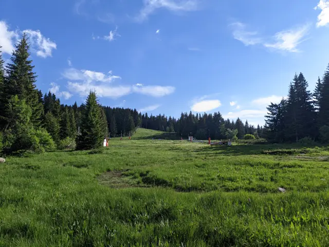 Moderate
This is one of the longer circular trails that can be taken from the Zlatnite Mostove (Golden Bridges) area. The route follows well marked trails, passing mostly through coniferous forests and meadows, and reaches its highest point at the Konyarnika area, which offers a view of Cherni Vrah. Along the way, there will be numerous opportunities to rest - six mountain huts, multiple gazebos, and a shelter. Drinking water along the trail is also not an issue, as we will pass by several water fountains.
Росен Пантелеев