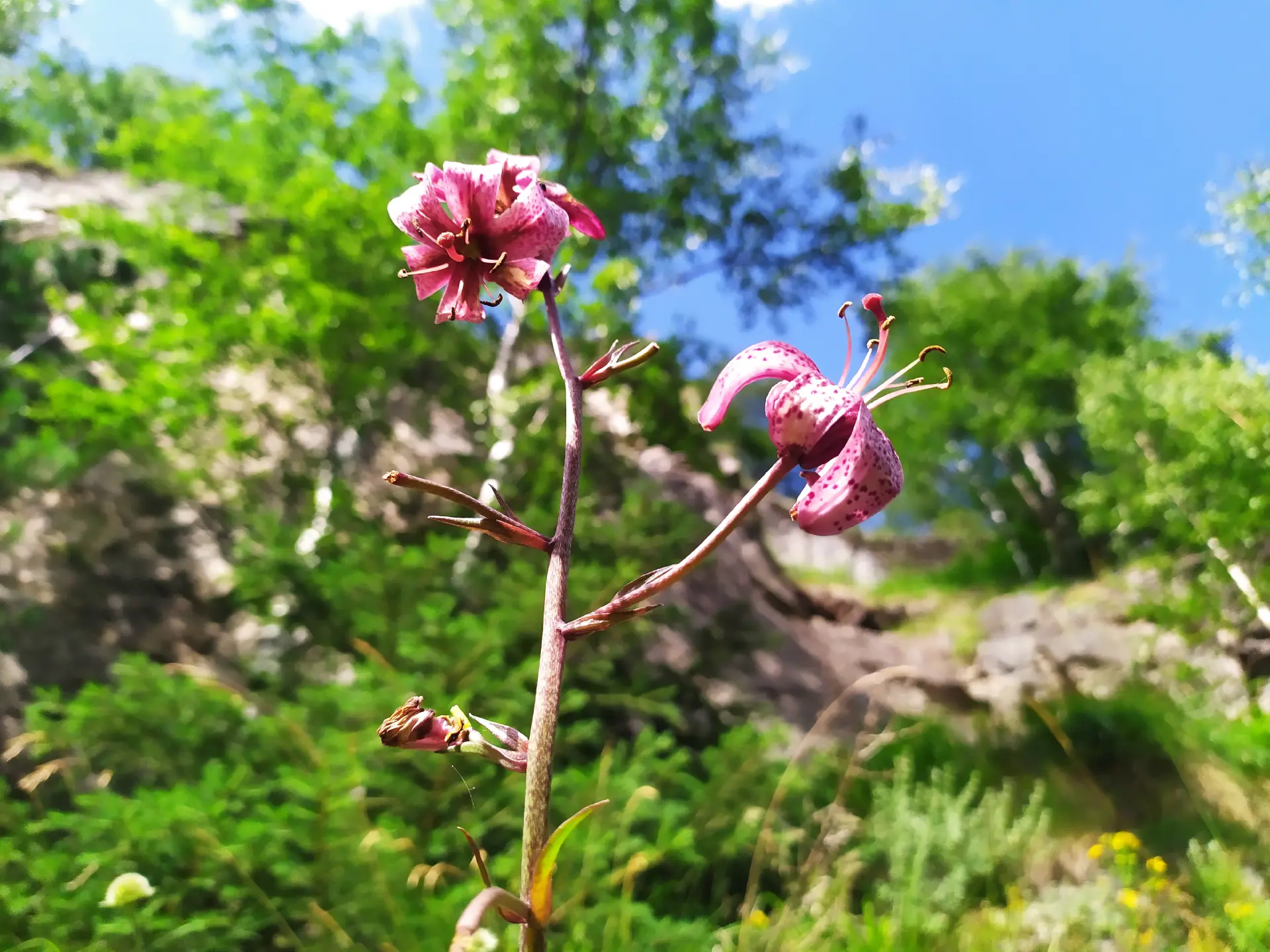
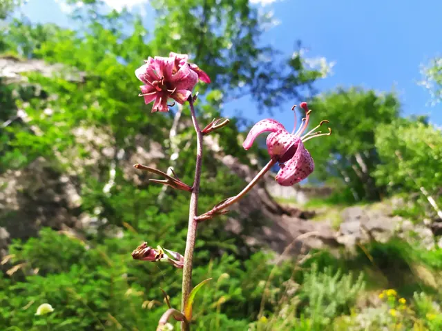
Martagon lily (Lilium martagon), photographed near the dirt road to Tiha Rila
Home/Trails/Kirilova Polyana - Tiha Rila - Ribni Ezera HutRate

Kirilova Polyana - Tiha Rila - Ribni Ezera Hut

Hiking·11.66 km·3 h·806 m

Ribni Ezera (Fish Lakes) Hut is most frequently accessed from the Tiha Rila canton, as a dirt road suitable for off-road vehicles reaches it from Kirilova Polyana. From there to the hut, it takes only about an hour along a steep but well-marked trail through dwarf pine and small meadows. The asphalt road ends at Kirilova Polyana, so it is possible to leave your car there and walk along the dirt…

Elevation profile

2232 m1847 m1462 m
2232 m1462 m
0 km5.8 km11.66 km

Waypoints

Segments

Ascent / descent↑570 m ↓22 mTechnical difficultyT1Fitness difficultyMarking typeColor marks · SignpostsTerrainForestSurfaceDirt road

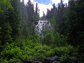
The dirt road to Tikha Rila follows the course of the Manastirska River, a tributary of the Rilska River, which originates from the Ribni Lakes. Most of the time, the trail goes through a forest, eventually opening up into an open meadow. Along the road, there are information signs and an arrow at the fork towards the Manastirski Lakes, which we will not be following here. After a iron bridge, we will see a short path on the right, from where we can catch a glimpse of the Dyavolska Reka (Devil's River) waterfall, which is very close to the road. The walk takes about two hours, during which time a vertical gain of over 500 meters is climbed along the relatively gentle path.

Ascent / descent↑236 m ↓13 mTechnical difficultyT2Fitness difficultyMarking typeColor marks · SignpostsTerrainAlpineSurfaceDirt path

When we reach the canton, the building at the end of the road, we will see a turnoff to the right, crossing a long wooden bridge over the marshy meadow. This is the trail to Smradlivoto Ezero (Stinky Lake) and is the more difficult option for reaching Ribni Ezera Hut. However, we will continue along the road and leave it, keeping a close eye out for the trail markers - it is easy to get confused here by continuing along a narrower extension of the dirt road, which crosses one of the streams to the right.

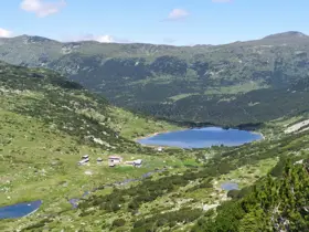
Next is an uphill climb along a trail through dwarf pine, interspersed with occasional small meadows and a wooden bridge, until we reach Dolno Ribno Ezero (Lower Fish Lake), whose shore we will walk along. The hut is situated right between it and Gorno Ribno Ezero (Upper Fish Lake).

The route and GPX file are approximate and may have been submitted or verified by a user like you. Check the source, date, forecast, restrictions, and your own preparedness. Don't rely solely on your phone or a single GPS track. In case of immediate danger, call 112.
Росен Пантелеев

Trail contributed by

Росен Пантелеев

56 trails·281 places·1 reviews·Member since Apr 2026

Forecast for Kirilova Polyana - Tiha Rila - Ribni Ezera Hut

Forecast by meteoblue

Reviews

No reviews yet.