Huts in Rila
Ledeno Ezero Shelter
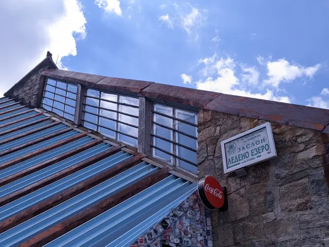
2740 mLedeno Ezero Shelter is located on the northern shore of the Glacial Lake. Surrounded by the peaks Musala, Malka Musala, and Irechek, it is the final stop on the classic route for climbing Musala Peak from Yastrebets and Musala Hut. It features a dining room where food and drinks are available.
Malyovitsa Hut
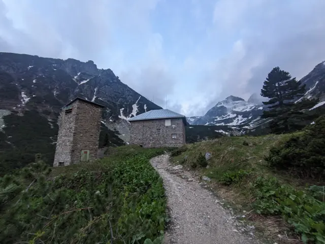
1976 mMalyovitsa Hut is located in Northwestern Rila, in the valley of the Malyovitsa River, at the foot of Malyovitsa Peak. The hut is a point on the E4 European long distance trail.
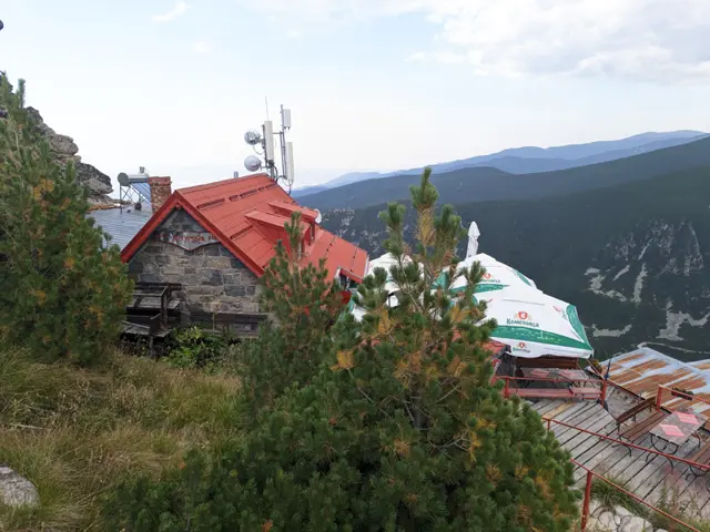
Yastrebetz Hut
2389 mYastrebets Hut is located on Yastrebets Peak, very close to the lift station. It is situated on the northeastern edge of the peak, and its wide terrace offers views of both the Musalenska Bistritsa River valley and the peaks of Deno, Irechek and Musala.
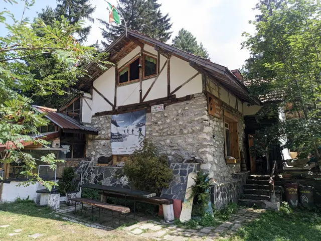
Lovna Hut
1670 mLovna Hut is located near the Dzherman River on a wide meadow surrounded by coniferous forest. The hut has dormitory rooms in the main building, as well as bungalows with two and three beds.
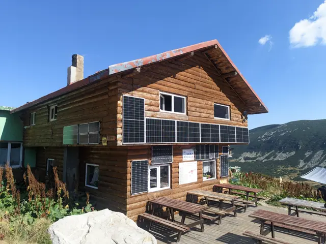
Musala Hut
2380 mMusala Hut is located on the shore of the Lower Musala Lake. Its altitude is the highest of all mountain huts in Bulgaria - 2,389 meters. Despite this, it is very easily accessible: it takes about an hour on foot from the top station of the Yastrebets lift to the hut along an almost flat dirt road. The hut is the main starting point for climbing the highest peak on the Balkan Peninsula - Musala.
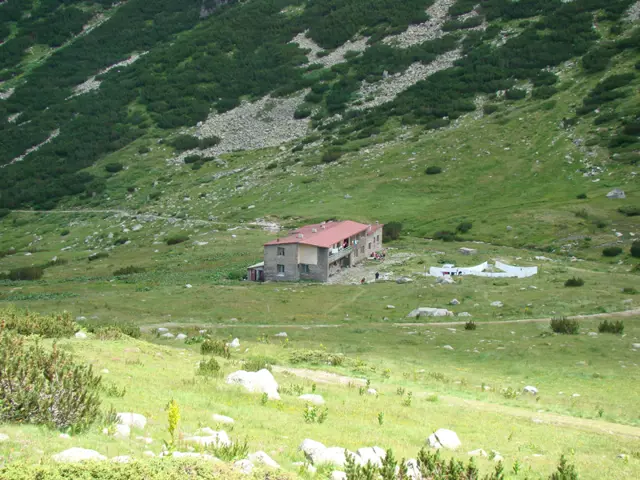
Zavrachitsa Hut
2162 mLocated in the "Zavrachitsa" area in eastern Rila, on the left bank of the Prava Maritsa River. The hut is a point on the European long distance trail E-8. The heating in the hut is by wood stoves. The toilets are outside, attached to the hut building. More information about the hut can be found at planinari and GoWhere. Both sites are in Bulgarian.
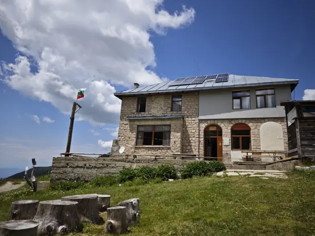
Macedonia Hut
2166 mMakеdonia Hut is located in Mech Prohod Saddle (between Golyam Mech Vrah and Malak Mech Vrah) in Southwestern Rila and is one of the highest-altitude chalets on the Balkan Peninsula. The European long-distance hiking path E4 passes through it.
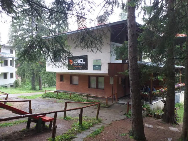
Gurgulitsa Hut
1135 mGurgulitsa Hut is situated in a coniferous forest in the Milikini Nivi area, not far from the village of Kostenets. Due to its easy access, both on foot and by car, and the wide meadow with gazebos next to it, the hut is suitable for day trips with your children, or as a stop on the longer hikes to Belmeken Hut and Belmeken Peak. If you want to stay overnight, the hut offers 52 beds in rooms of various sizes as well as three bungalows with two beds each.
Trails in Rila
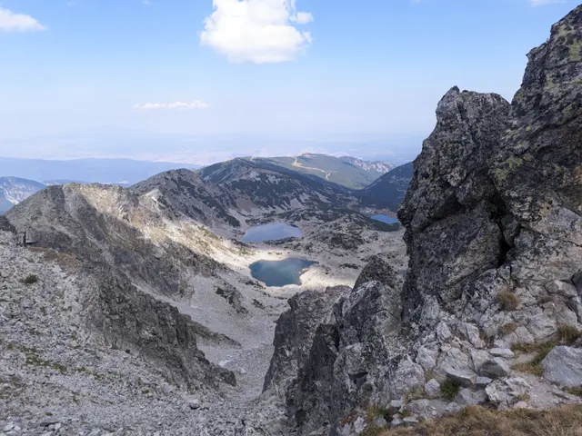 Moderate
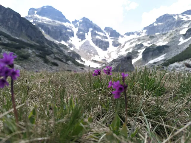
This is the most popular summer route for climbing the highest peak in the Balkans.
 Росен Пантелеев
 Moderate
This is the usual route for climbing Malyovitsa Peak in the summer. There are some steep sections and a lot of rocks, but if we get lucky with the weather, we’ll see a really big part of Rila from above.
Росен Пантелеев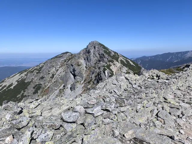 ModerateРосен Пантелеев
 Easy
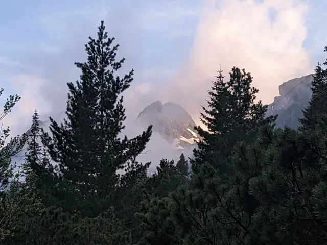
EasyThis is the classic trail to Malyovitsa Hut from the former Central Mountain School (ЦПШ). The trail follows a dirt road, paved with gravel and stones, which goes through a coniferous forest along Malyovitsa River. An easy trail, suitable for children.
Росен Пантелеев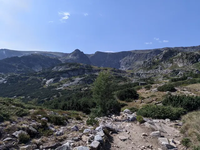 Moderate
Shortly after Rilski Ezera Hut, the trail has a brief, steep section that might seem discouraging. However, once you overcome it, the rest of the route is almost flat. Most of the time, you will see the Dolnoto (Lower) Lake, which will be down to your left. Shortly before reaching Sedemte Ezera Hut, you will cross a small stream, which is actually the Dzherman River - the river into which the Seven Lakes drain. Another climb follows, much shorter this time, and immediately after it, you will find yourself on the shore of the Ribnoto (Fish) Lake, where the hut itself is located.
Росен Пантелеев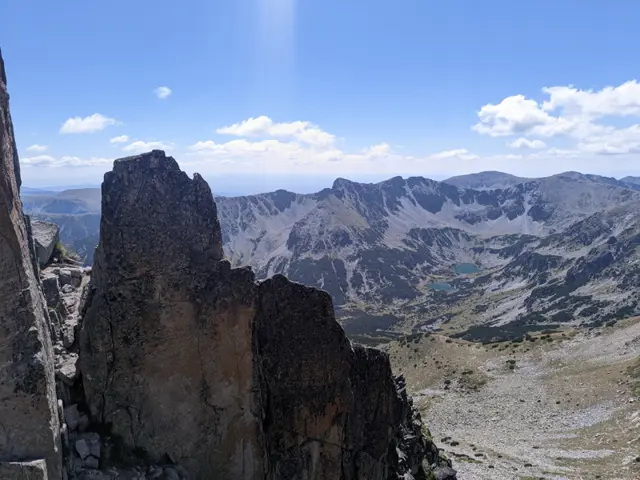 Hard
HardThe Crown of Musala is one of the two classic alpine traverses in Rila – the other being the Malyovitsa Traverse. There is no shortage of dangerous sections, especially at Trionite (The Saws) and on the descent from Malka Musala Peak, so if you have doubts about your preparation, it is better to hire a mountain guide.
Росен Пантелеев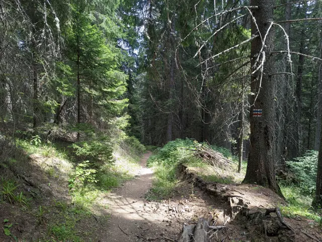 Moderate
A trail through the forest, suitable for both summer and winter. If you are in the meadow in front of Lovna Hut, you need to go around the building from the right, and at the edge of the forest there, you will see the sign for Vada Hut. Head into the forest and pass by the water turbine that supplies the hut with electricity. The Dzherman River will be on your right, which you will soon cross via a small wooden bridge. After the bridge, there is a short ascent through the forest, after which you will descend to one of the many dirt roads in this part of the Rila Mountains. You turn right along this road and keep following it until you reach the first left turn, where you will find trail signs and an information board. There, continue straight through the forest on either of the two paths ahead of you - the left path is gentler, and the official trail markings follow it, but judging by how not-really-well-trodden it is, people seem to prefer the steep path that climbs straight up. After a short and steep climb, you will emerge at the junction where our trail merges with the blue markings coming from the Seven Lakes Hut. Continue straight ahead along the dirt road that descends steeply through the forest, and follow it until you reach the small bridge over the river next to Vada Hut. This is the Pravi (Straight) Iskar River - one of the many tributaries of the Iskar River. Shortly after the bridge, you will see the hut itself.
Росен Пантелеев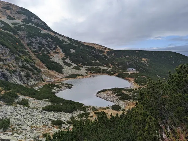 Moderate
The hike to Belmeken Peak begins with an easy stroll along the shore of Ravnichalsko Lake, which serves as a perfect warm-up for the steep section ahead. But don’t worry - the incline is short, and the rocks underfoot are relatively large and stable. Afterward, we emerge onto a pleasant grassy saddle, offering a bit of time to catch our breath along a nearly flat stretch before the final push to the summit. While this final climb follows a (mostly) grassy path, it is steep-ish and not exactly short. However, once we reach the top, we will be able to see a huge part of the Rila and Rhodope mountains. If we descend slightly down its southeastern slope, we can look down on the Belmeken Reservoir from above. Wild goats are often spotted in the area, and if we get lucky, we might even see the ground squirrel - the elegant cousin of the marmot - whose highest habitat in the Balkans is right here around the peak.
Росен ПантелеевPlaces in Rila
Musala Peak
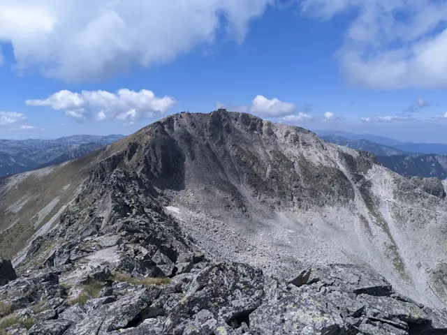
2925 mMusala is the highest peak in Rila and the entire Balkan Peninsula. In the summer, it is easily accessible via a marked trail with no technical difficulties, starting from the upper station of the "Yastrebets" gondola lift. Its accessibility makes it a top selfie destination, so there are summer weekends when the peak becomes surprisingly difficult to reach.
Росен Пантелеев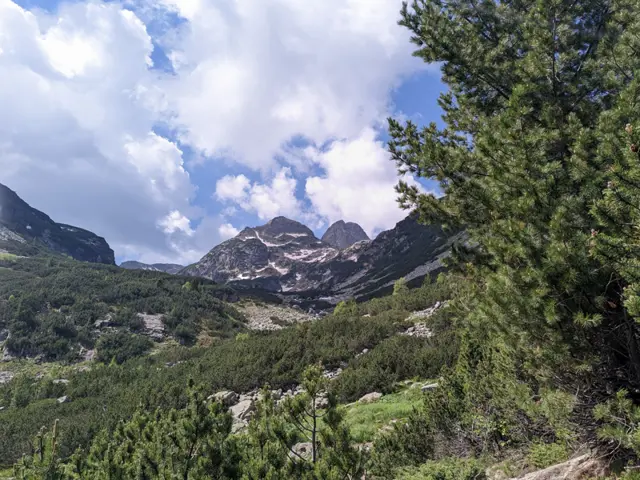
Malyovitsa peak
2729 mMalyovitsa is one of the most visited alpine peaks in Bulgaria. The Malyovitsa section of Rila (including the Malyovitsa Ridge, the Seven Rila Lakes, and the Urdini Lakes) is named after it. It is not, however, the highest peak in its section. The highest peak is Golyam Kupen, which is one of the peaks, forming the crown of Strashnoto Lake.
Росен Пантелеев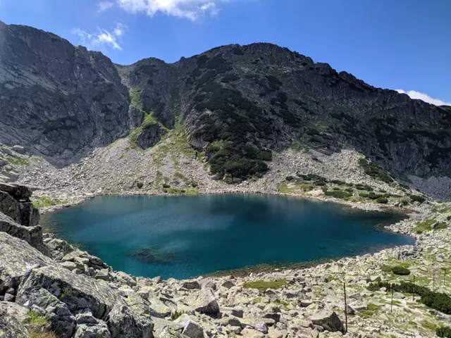
Alekovo Lake
2544 mAlekovo Lake is the third (from top to bottom) of the Musala Lakes group. It is located at the foot of Aleko Peak, and the summer trail from Musala Hut to Musala Peak passes along its shore. Its color varies from dark blue in cloudy weather to turquoise when lit by the sun.
Росен Пантелеев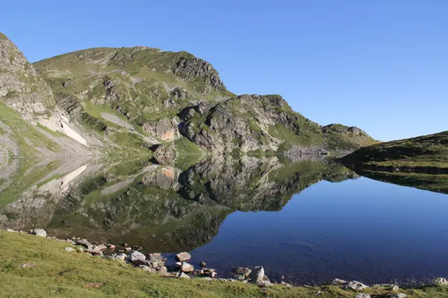
The Kidney Lake is the third (from top to bottom) lake in the group of the Seven Rila Lakes. If you are coming along the red-marked path from the Rila Lakes Hut, it will be the first lake you reach. It is the second deepest lake in the group (after Okoto) - 28 meters.
Росен Пантелеев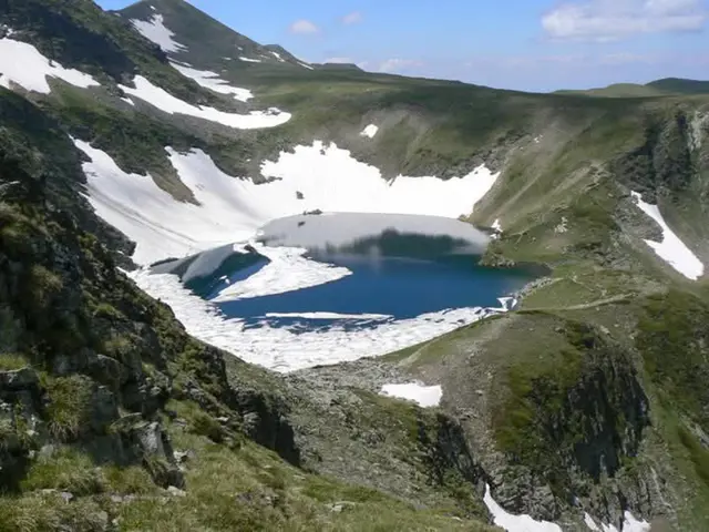
Okoto Lake (The Eye)
2440 mOkoto (The Eye) is the second of the Seven Rila Lakes. Its depth is 37.7 meters, making it the deepest glacial lake on the Balkan Peninsula. It drains from the southern side into Bliznaka Lake (the fourth in the group) via a stream with a small waterfall, alongside which the marked tourist trail passes. Steep rocks and gullies rise above the northern shore of the lake, in which snow patches may remain until late summer.
Росен Пантелеев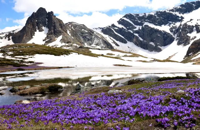
Haramiyata Peak
2465 mHaramiya Peak (also known as Hayduta) is the sharp peak visible from almost every spot around the Seven Rila Lakes. The Trilistnika (Trefoil) and Bliznaka (Twin) lakes lie to its west, while the Upper Chanakgyol Lake - which the followers of the White Brotherhood call the Lake of Purity - is located to its east.
Росен Пантелеев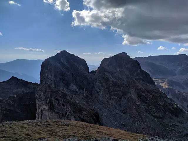
Zliya zub Peak
2678 mZliya zub (which translates as The Evil Tooth) is located on the main Malyovisko ridge between the peaks of Orlovets and Lovnitsa, but unlike them, it is accessible only by using climbing equipment, even in the summer.
Росен Пантелеев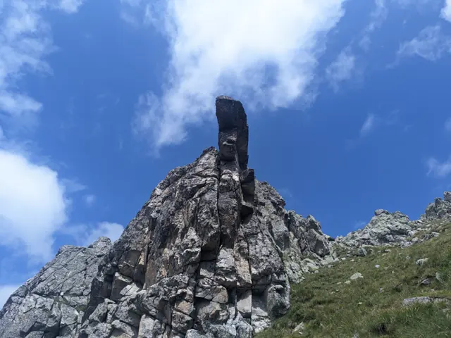
Kamilata (Camel) Peak
2621 mKamilata (Camel) Peak is the last peak of the crown surrounding the glacial cirque of the Orlovets shelter ("Granitna Voda"). It is located directly north of the shelter and is separated by a saddle from the neighboring Lovnitsa peak. It owes its name to the characteristic rock shape, resembling a lying camel, turning its slightly upright head in the direction of the Orlovets and Zliya Zab peaks. The camel shape is recognizable only from the southwest - from the marked trail, connecting the Second Terrace to the Orlovets shelter, or from the main trail to Malyovitsa peak (in the section that begins with the steep climb after the Second Terrace and ends at Eleninoto Lake). The peak is accessible in the summer without climbing equipment through the saddle connecting it to Lovnitsa Peak. The northern granite wall of the peak, over a hundred meters high, is a popular climbing site. Winter offers conditions for ice climbing, which, however, is dangerous due to the high probability of avalanches. Information about climbing routes can be found at climbingguide.bg. On April 17, 1988, the legendary Bulgarian climber Lyudmil Yankov died while climbing the peak.
Росен Пантелеев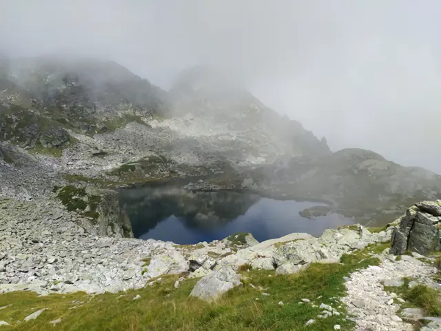
Elenino Lake
2479 mElenino Lake is the largest and most famous of the group of three Elenski (Elenini) Lakes. It is located east of Malyovitsa Peak, right at its foot. The marked trail to the peak from Malyovitsa Hut passes by its shore.
Росен Пантелеев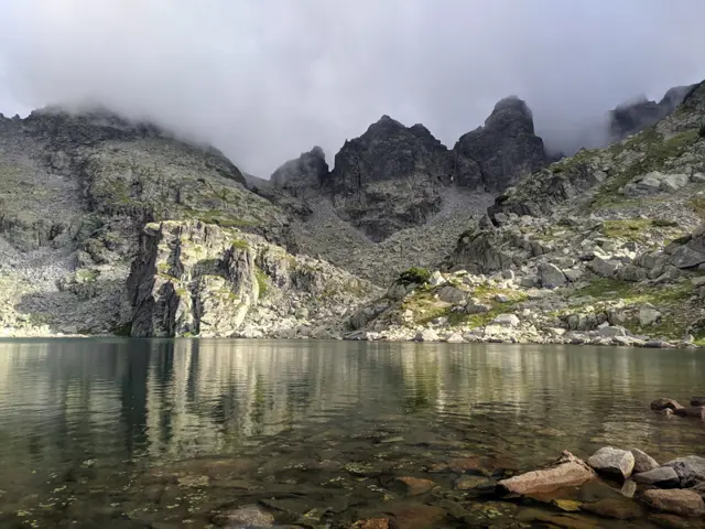
Strashnoto Lake
2462 mStrashnoto Ezero (The Scary Lake) is a glacial lake situated beneath a crown of rocky peaks, including Golyam Kupen - the highest peak of the Malyovistsa section of Rila. A stone shelter has been built next to it, equipped with a wood-burning stove and beds with blankets. The most common question about Strashnoto Ezero is what makes it so scary. The answer: nothing in particular. Years ago, before the shelter by the lake was built, a painter from Samokov named Hristo Yonchev-Kriskarets was caught in a thunderstorm up there and got terrified. He told his friends about the incident and how scary it was, and that is how the lake got its name. Whether this story is true we do not know, but we can say with certainty that Yonchevo Ezero (Yonchev's Lake), located about an hour below Strashnoto Ezero, is indeed named after Hristo Yonchev.
Росен Пантелеев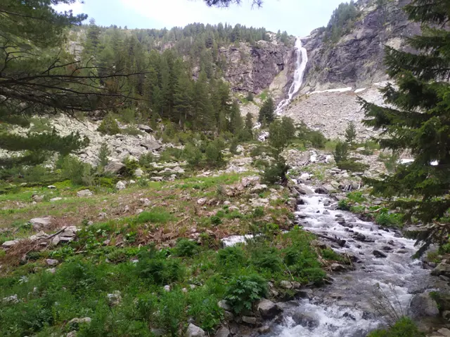
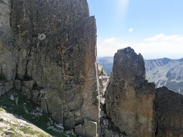
Trionite
2880 mTrionite (The Saws) is a highly jagged rocky ridge that connects Musala Peak with the second-highest peak in the Rila Mountains, Malka Musala. Trionite, along with the northern slope of Malka Musala, are considered the most difficult sections of the classic Musala Traverse.
Росен Пантелеев