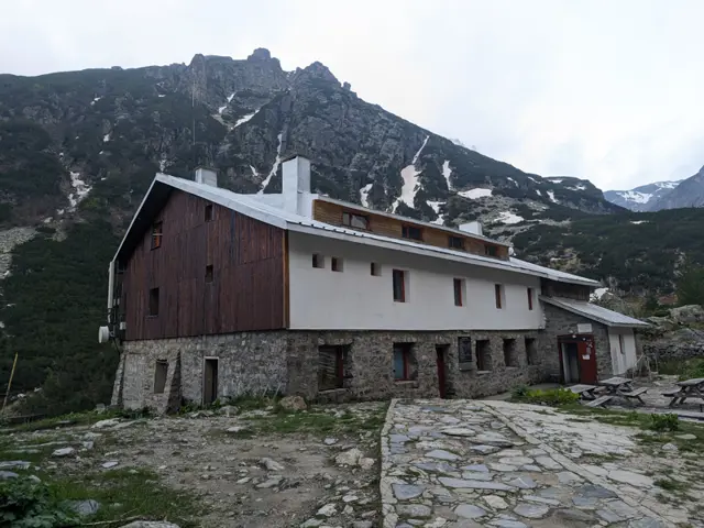
Malyovitsa Hut
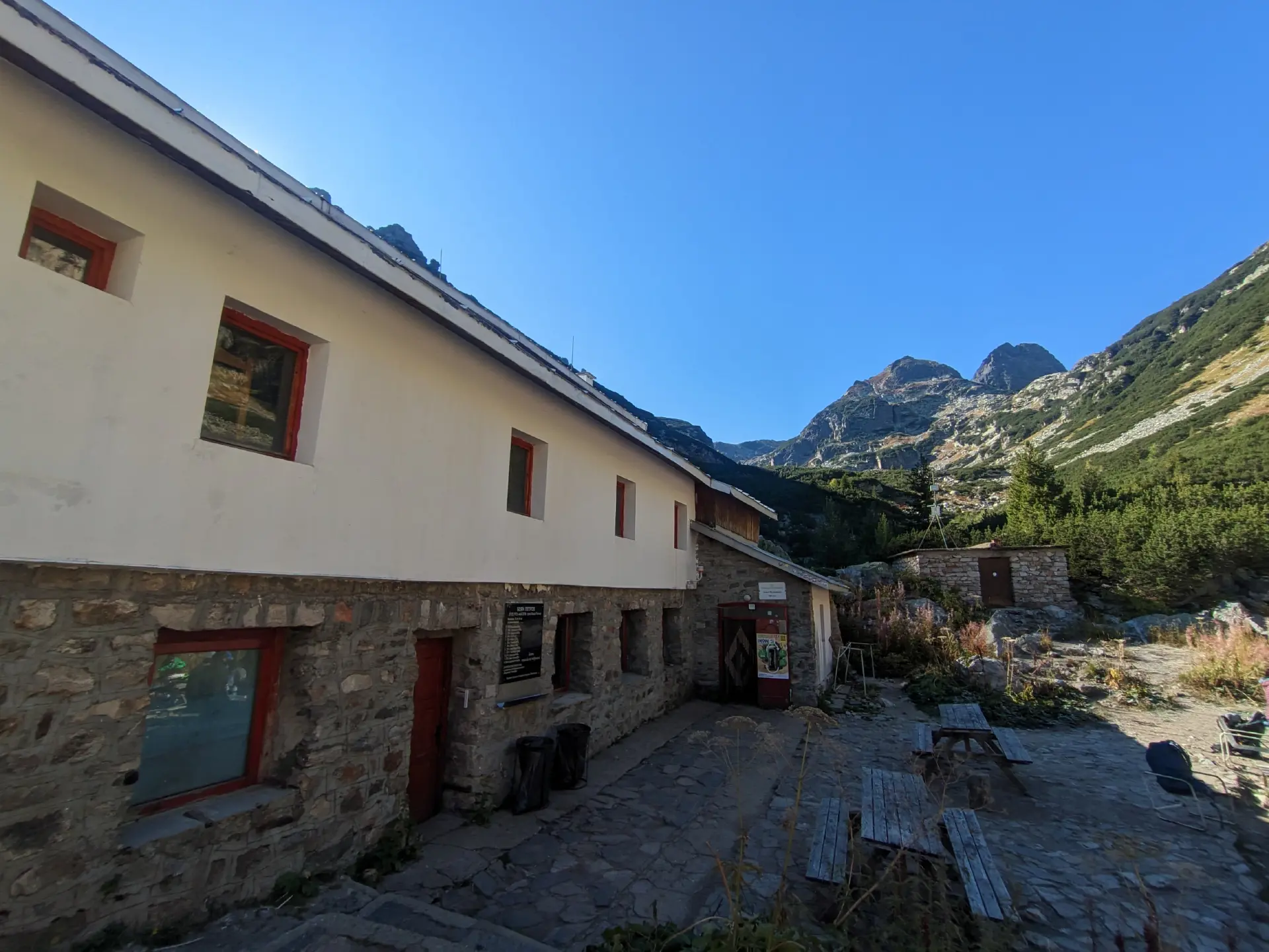
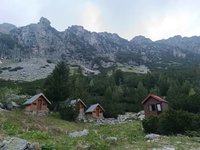
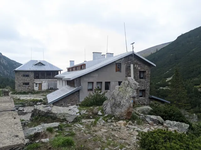
The rooms in the new building of the hut are open for shelter and overnight stays. There is temporarily no organized accommodation or food service. Free hot tea is offered on site.
(Current status of the hut as of November 7, 2026, according to official information from the Bulgarian Tourist Union.)
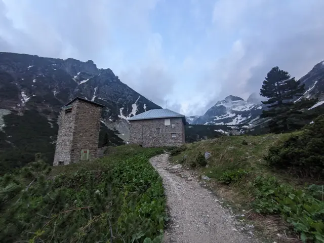
Malyovitsa Hut is located in Northwestern Rila, in the valley of the Malyovitsa River, at the…
Amenities
Trails
 Moderate
 Easy
 Hard
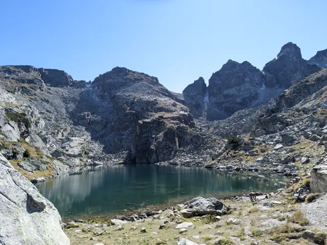 Moderate
Nearby Places
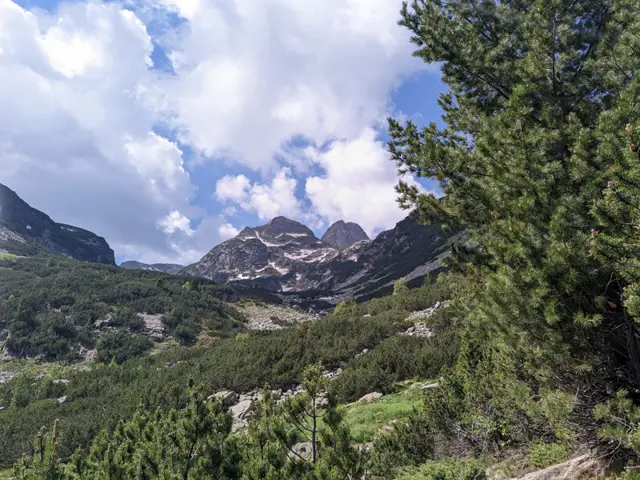
Malyovitsa Peak
2729 mMalyovitsa is one of the most visited alpine peaks in Bulgaria. The Malyovitsa section of the Rila Mountains, which includes the Malyovitsa ridge and the peaks of Orlovets, Zliya Zab (The Evil Tooth), Dvuglav (Two-Headed Peak), and Golyam Kupen, is named after it. It is not, however, the highest peak in its section. The highest peak is Golyam Kupen, which is one of the peaks, forming the crown of Strashnoto Lake.
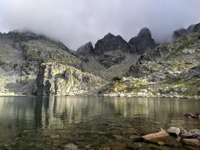
Strashnoto Lake
2462 mStrashnoto Ezero (The Scary Lake) is a glacial lake situated beneath a crown of rocky peaks, including Golyam Kupen - the highest peak of the Malyovistsa section of Rila. A stone shelter, named after the lake, has been built next to its shore. The most common question about Strashnoto Ezero is what makes it so scary. The answer: nothing in particular. Years ago, before the shelter by the lake was built, a painter from Samokov named Hristo Yonchev-Kriskarets was caught in a thunderstorm up there and got terrified. He told his friends about the incident and how scary it was, and that is how the lake got its name. Whether this story is true we do not know, but we can say with certainty that Yonchevo Ezero (Yonchev's Lake), located about an hour below Strashnoto Ezero, is indeed named after Hristo Yonchev.
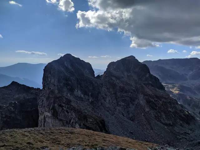
Zliya Zub Peak
2678 mZliya Zub (which translates as The Evil Tooth) is located on the main Malyovisko ridge between the peaks of Orlovets and Lovnitsa, but unlike them, it is accessible only by using climbing equipment, even in the summer.
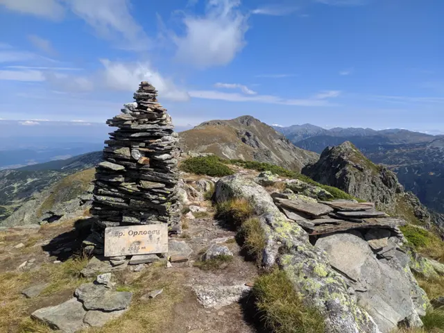
Orlovets Peak
2686 mOrlovets Peak is located on the central Malyovitsa ridge, west of Zliya Zab. Between the two peaks is the Prozoretsa (Window) saddle, from which a scree begins to the north with a path leading to the Granitna Voda Shelter (BAK), and to the south the steep rocky couloir Siniya Ulei (the Blue Gully) descends, ending 1200 meters below, not far from Kirilova Polyana. The summit offers a view of Malyovitsa Peak, the neighboring rocky crags of Petlite, Zliya Zab Peak to the east, Dvuglav peak to the southeast and Kamilata Peak to the north, as well as the Second Terrace, the glacial leveling in the upper valley of the Malyoviska River, from where the trail to the Granitna Voda Shelter (BAK) diverges from the main trail to Malyoviska Peak. The northwestern face of the summit is almost vertical and is about a hundred meters high. It is a popular climbing site. It was first climbed by German climbers Hermann Hund and Tony Wiedemann in 1935 (see Wikipedia)) The peak is accessible in summer without the aid of climbing equipment. The most popular route is from the Granitna Voda Shelter (BAK) through the Prozoretsa saddle.
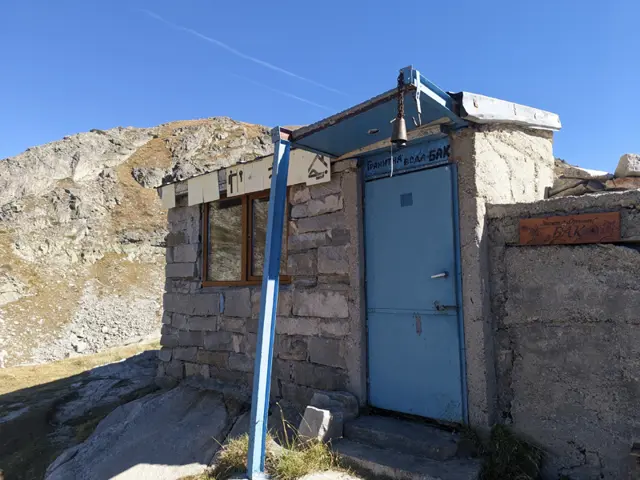
Granitna Voda Shelter, also known as BAK or Orlovets Shelter, is located on a small knoll in the center of the cirque, which is surrounded by the peaks of Orlovets, Zliya Zab, Lovnitsa, and Kamilata. It consists of an anteroom and a small common area featuring two-tiered wooden bunks for sleeping. The shelter is known by all three names due to its history - both its own and that of its location. Not far from Granitna Voda, beneath Orlovets Peak, lies a sloping rock with a stone wall closing off its entrance. This was the area's first shelter, built in the 1930s by members of the Bulgarian Alpine Club of that era. On one of the stones at its entrance, the shelter's builders carved the acronym BAK in the Latin alphabet. Decades later, the Orlovets Shelter was built on the site where Granitna Voda stands today. It was a large structure with a wooden frame and concrete foundations. In the 1980s, the shelter burned down, and later, in its place, the mountaineer Milcho Ladov built the current structure. He named it "Granitna Voda" (Granite Water) after a poem by legendary mountaineer Lyudmil Yankov, who lost his life beneath Kamilata Peak. Thus, the shelter took its present name in honor of Lyudmil Yankov. Among hiking and mountaineering circles, however, the acronym BAK is used to refer not only to the old shelter but also to Granitna Voda, and sometimes even to the entire surrounding area. The concrete platform next to the shelter is actually the foundation of the burned-down Orlovets Shelter. The Bulgarian Alpine Club is abbreviated here as BAK rather than BAC. This retains the original Latin-script acronym carved into a stone at the entrance by the shelter's 1930s builders. The acronym likely drew from the German spelling.
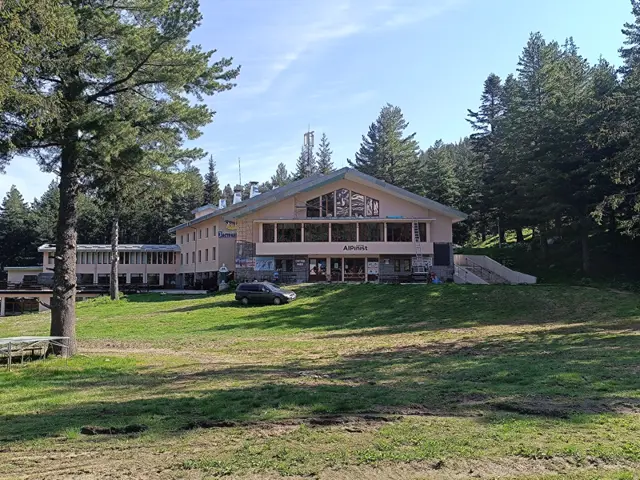
Hotel Alpinist
1712 mPreviously known as ЦПШ (Central Mountain School). Now it is a hotel.