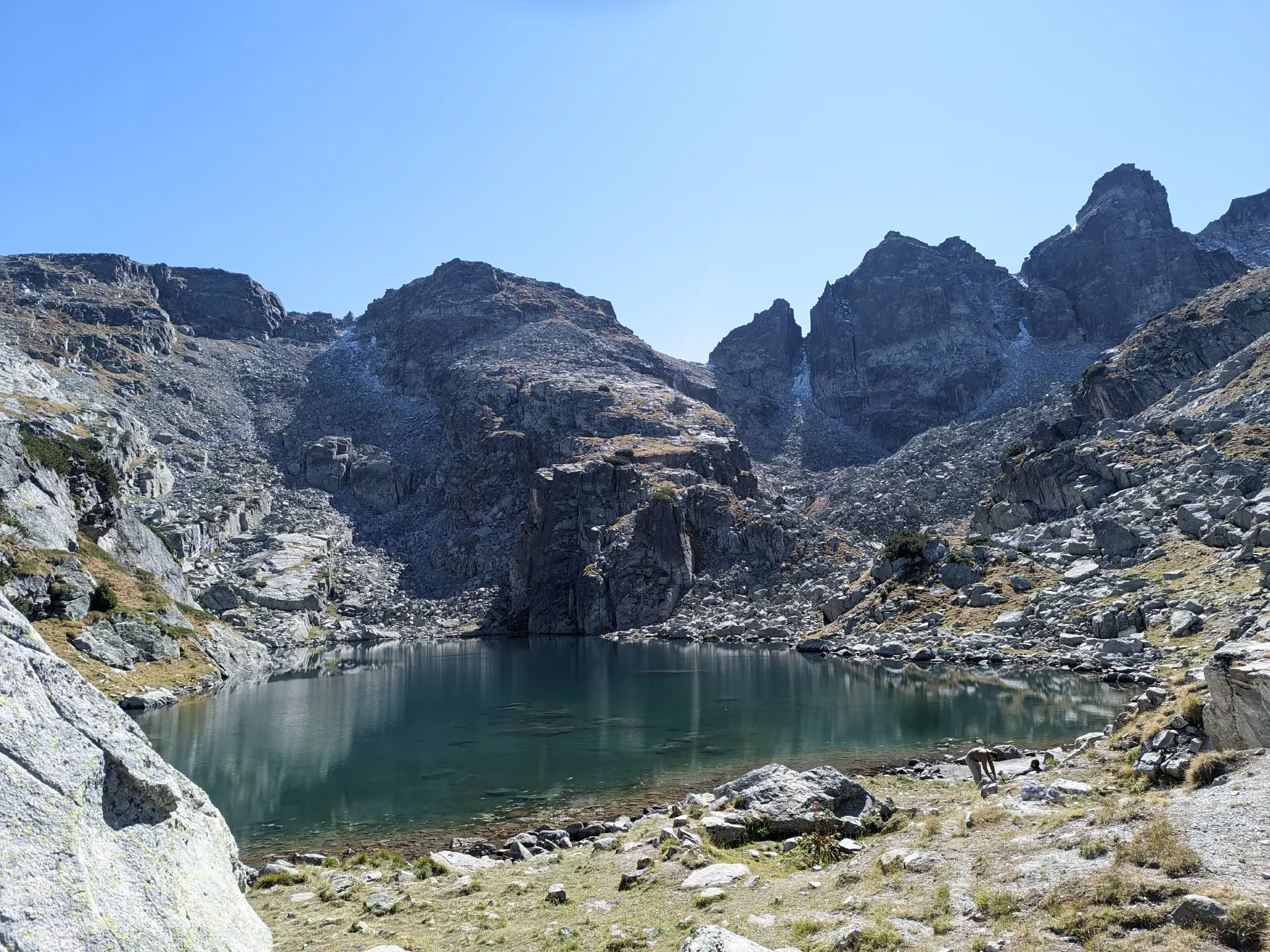
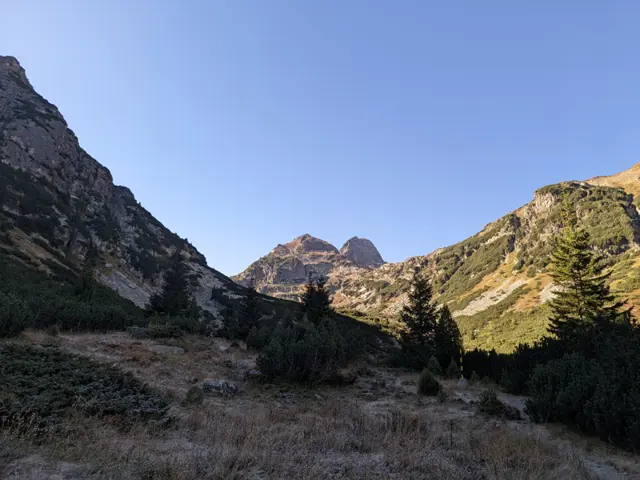
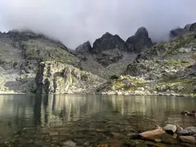
Malyovitsa Hut – Strashnoto ezero (the Scary Lake)
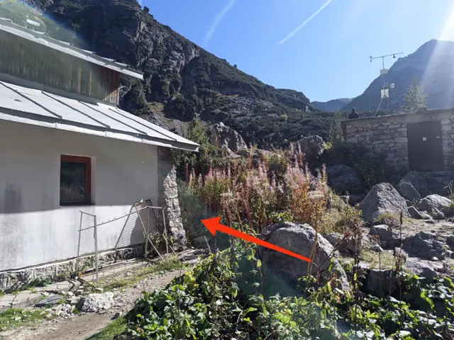
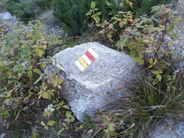
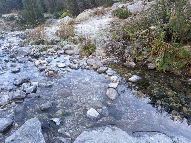
The route begins behind the corner of the Malyovitsa Hut, looking from the benches in front of it toward the peak (see the photo with the arrow). Head across the meadow toward the river and find a convenient spot to cross it, then follow the trail markings through the dwarf pine. You will cross several boulder fields (stone rivers), where you need to follow the markings closely, as the spots where…
Elevation profile
Waypoints
Reviews
Related routes
Trails that cross or pass near the current one.
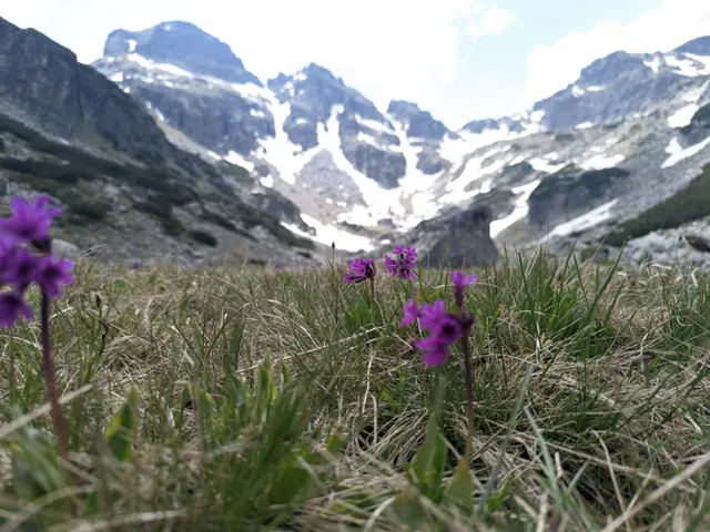 Moderate
This is the usual route for climbing Malyovitsa Peak in the summer. There are some steep sections and a lot of rocks, but if we get lucky with the weather, we’ll see a big part of Rila from above.
Росен Пантелеев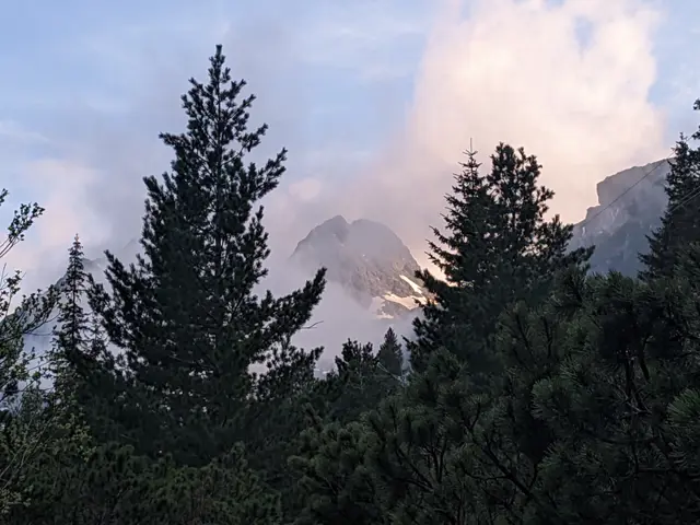 Easy
This is the classic trail to Malyovitsa Hut from the former Central Mountain School (ЦПШ). The trail follows a gravel road, which goes through a coniferous forest along Malyovitsa River. An easy trail, suitable for children.
Росен Пантелеев Hard
A trail to BAK, one of the true symbols of Bulgarian mountaineering, and to two of the peaks towering above the shelter - Kamilata and Orlovets. The trail to the Granitna Voda Shelter (the new BAK) presents no significant difficulty for a prepared hiker, but most of the peaks above the shelter are objectively dangerous, even though there are well-trodden paths leading to some of them.
Росен Пантелеев