Mineral Lake
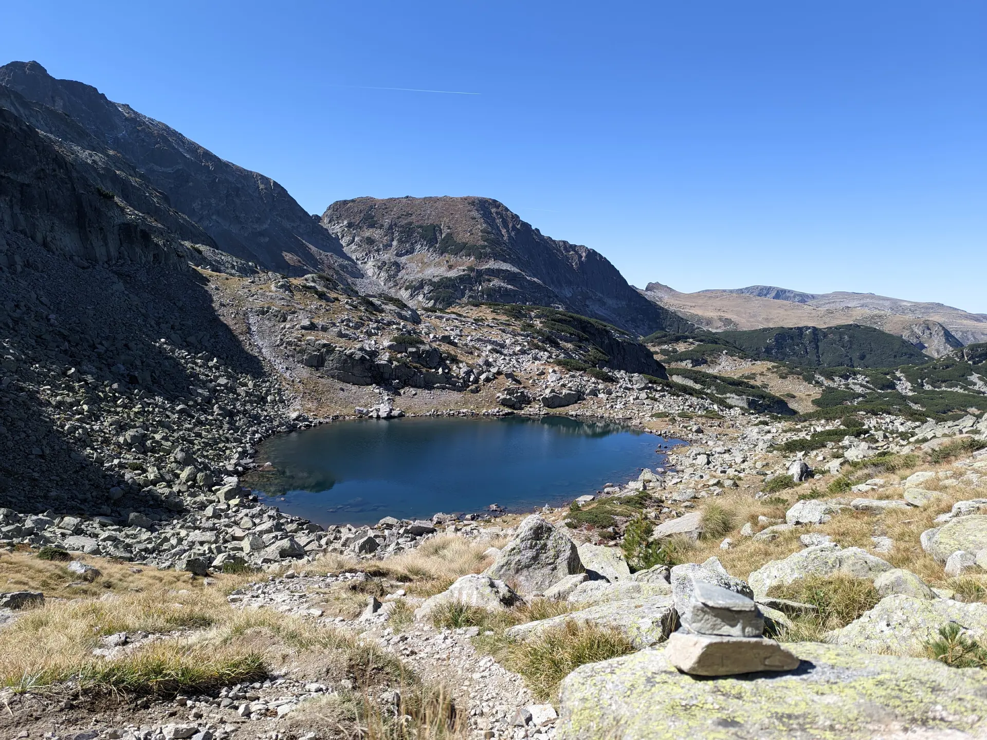
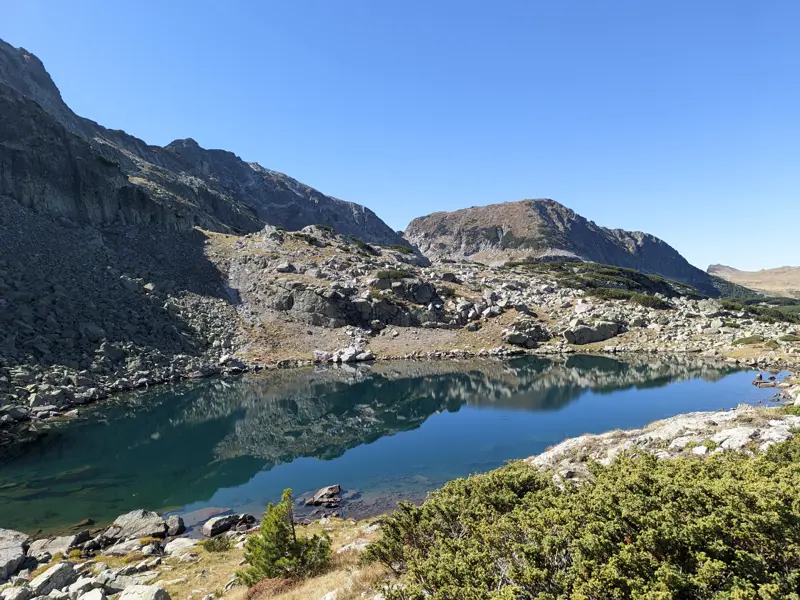
Mineral Lake is the large, blue lake located west below Scary Lake (Strashnoto Ezero). The marked trail from Malyovitsa Hut, which is part of the E4 European long-distance path, passes right by it.
Its exact name is a subject of debate, much like many toponyms throughout the Bulgarian mountains. Here, we use the name most commonly given to it by…
Trails through this place
 Moderate
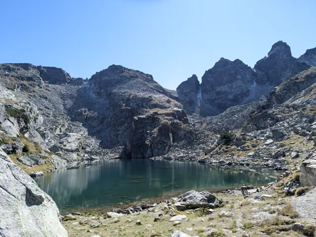
The route begins behind the corner of the Malyovitsa Hut, looking from the benches in front of it toward the peak (see the photo with the arrow). Head across the meadow toward the river and find a convenient spot to cross it, then follow the trail markings through the dwarf pine. You will cross several boulder fields (stone rivers), where you need to follow the markings closely, as the spots where the trail re-enters the next sections of dwarf pine are not completely obvious. Navigating the rocky sections might feel tedious, but it is nothing compared to the passage ahead - namely, a very steep climb through the dwarf pine alongside the Malka Malyovitsa stream. In some spots here, the slope is so steep that you may need to grab onto the surrounding dwarf pine branches. To top it all off, the proximity of the stream on the left means there is no shortage of muddy patches. Parts of this section freeze over during the autumn months, so it is wise to consider how you will come back down before you go up, lest your hike turn into an unwanted bobsled session. Once you clear the steep climb, it is relatively easy from there. Sure, there is more steep ascent ahead, but it isn’t nearly as brutal. First, you will emerge onto a flat, rocky field with the stream flowing underneath it, and after some more dwarf pine, you will reach a wide meadow. To your left is the Razhdavitsa ridge, and ahead you will see the northern faces of Kamilata Peak and Lovnica Peak behind it. Afterward, you will have to tackle one more climb - the southern end of Razhdavitsa - before descending toward the first lake along your path. This lake, much like most of the others in the area, does not have an official name (as far as I know), but collectively all of them - including Strashnoto Ezero (The Scary Lake) - are known as the Prekorechki (or Gornoprekorechki) Lakes, as they are the source of the river Gorna Preka Reka. From this lake, head upward once again - this is the penultimate climb of the route, leading you to the next lake. This lake is large and blue, so you might think you have reached your destination. You haven't. There is one final climb. Only after clearing it will you see Strashnoto Ezero and the shelter on the left.
 Hard
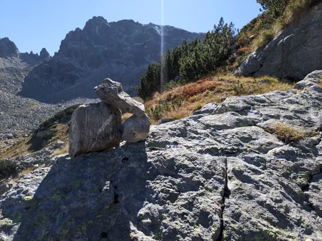
You can cross directly from Strashnoto Ezero (The Scary Lake) to BAK via the saddle between Lovnitsa and Kamilata peaks, but this option is risky. There is virtually no trail, and there is no shortage of places where you could fall or have a loose rock drop on your head. Ultimately, if you are not sure whether you can handle this route, don't take the risk. I am uploading this route anyway because all sorts of situations can happen, so it is good to have it here for reference.