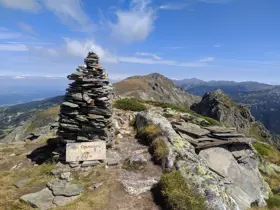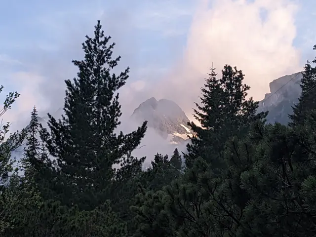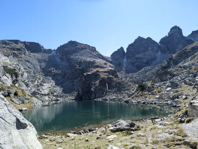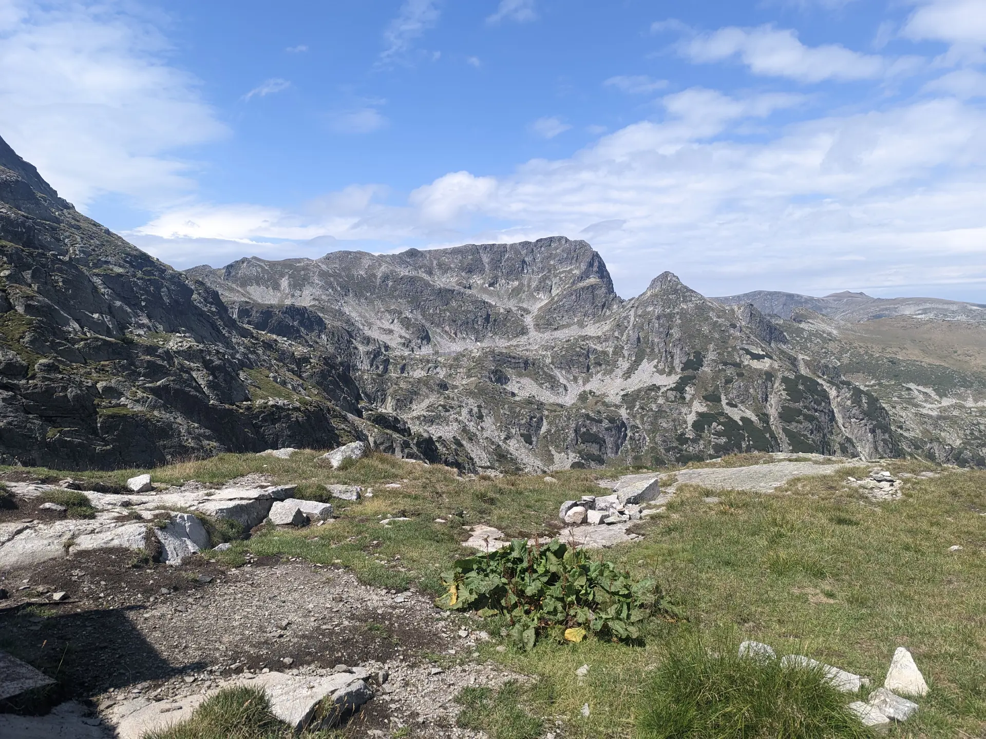
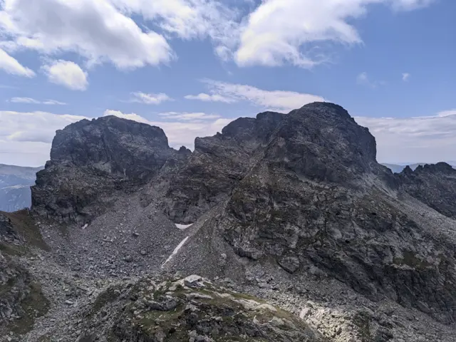
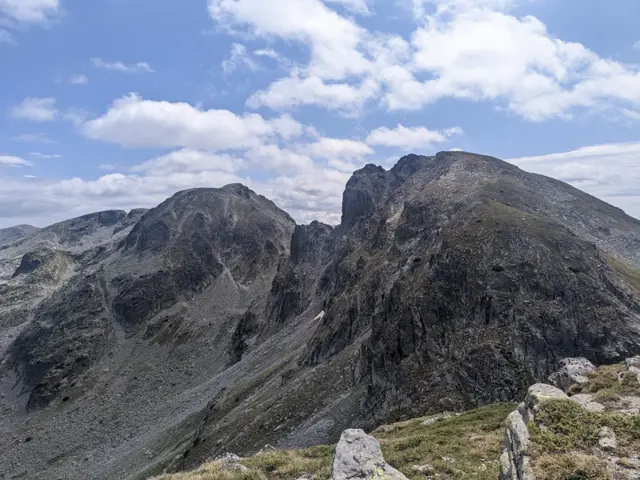
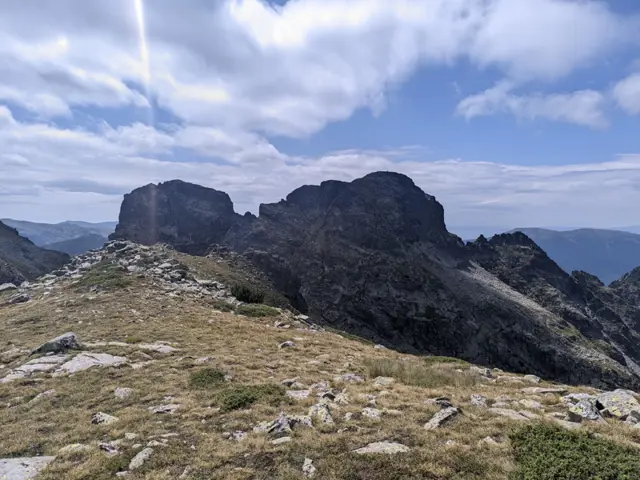
Nalyovitsa Peak, viewed from BAK
Malyovitsa Hut - BAK - Kamilata (Camel) Peak - Orlovets Peak
Home/Trails/Malyovitsa Hut - BAK - Kamilata (Camel) Peak - Orlovets PeakRate

Malyovitsa Hut - BAK - Kamilata (Camel) Peak - Orlovets Peak

Hiking·4.24 km·2 h 41 min·775 m

A trail to BAK, one of the true symbols of Bulgarian mountaineering, and to two of the peaks towering above the shelter - Kamilata and Orlovets. The trail to the Granitna Voda Shelter (the new BAK) presents no significant difficulty for a prepared hiker, but most of the peaks above the shelter are objectively dangerous, even though there are well-trodden paths leading to some of them.

Elevation profile

2691 m2344 m1997 m
2691 m1997 m
0 km2.1 km4.24 km

Waypoints

Segments

Ascent / descent↑543 m ↓0 mTechnical difficultyT3Fitness difficultyMarking typeColor marks · SignpostsTerrainAlpineSurfaceDirt path · Rocky

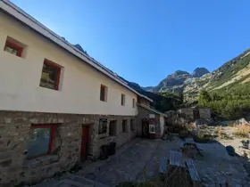
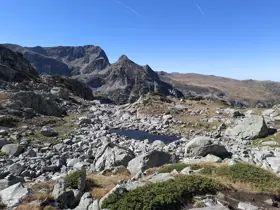
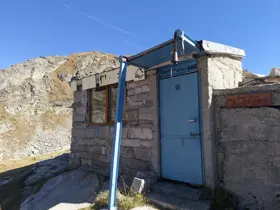
Follow the trail toward Malyovitsa Peak. Once you reach the Second Terrace (Vtora Terasa), you will see a massive boulder bearing memorial plaques for fallen Bulgarian mountaineers, rock climbers, and hikers. This is the junction for the Granitna Voda Shelter (also known as BAK). Turn left following the blue trail markings, cross the Malyovitsa river (which at that place is a small stream), and head up into the dwarf pine on the opposite slope. Once you clear the dwarf pine, the trail leads across rocks and meadows, passing the shallow Biskvitkata (The Biscuit) Lakelet, before reaching the center of the cirque, where the Granitna Voda Shelter sits atop a knoll. You will spot the old BAK Shelter down to your right when looking toward Orlovets Peak.

It is highly recommended to fill up on water beforehand, as the only water sources after the Malyovitsa Hut are the river and Biskvitkata Lake, from which many people would not drink without filtering.
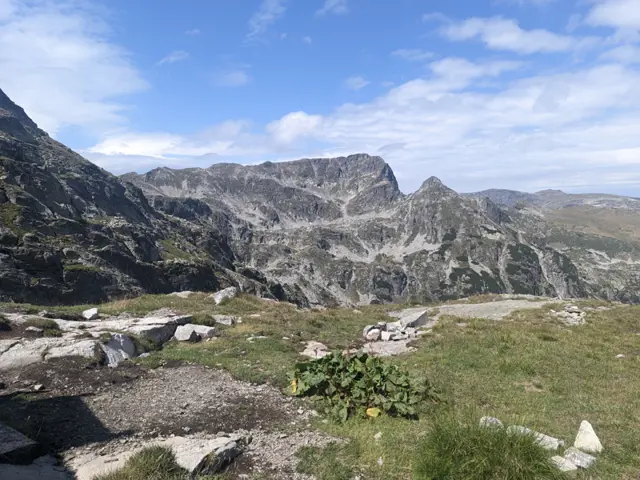
Ascent / descent↑77 m ↓22 mTechnical difficultyT4Fitness difficultyTerrainAlpineSurfaceDirt path · Scree · Rocky

From the shelter, head across the boulders toward the col (saddle) between Kamilata and Lovnitsa peaks. Once you reach the saddle, turn left. The path is visible, but in certain places, it passes over grassy tufts which pose a slipping hazard if wet. It also traverses steep sections where a fall could be highly dangerous, so if you are unsure of your experience level, it is best to hire a guide.
The summit opens up into a wide meadow.

Ascent / descent↑179 m ↓83 mTechnical difficultyT4Fitness difficultyTerrainAlpineSurfaceDirt path · Scree · Rocky

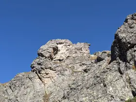
Descend from Kamilata along the same path. You can continue across the boulders along the slope of Lovnitsa until you reach Zliya Prelez - the col between Lovnitsa and Zliya Zab peaks. There, branch off to the right; the path is visible along the rock wall. This leads to a steep scree slope that will take you up to the saddle between Zliya Zab and Orlovets, known as Prozoretsa (The Window). Climb up to the saddle and head right across the steep, grassy sections to the summit.
Alternatively, when descending from Kamilata, you can return to the foot of the shelter and head toward Orlovets directly up the scree slope toward Prozoretsa.
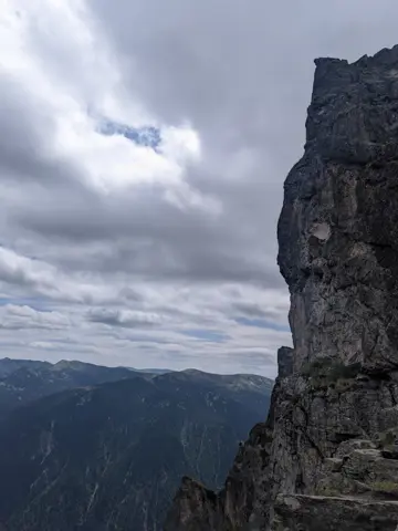
In both cases, the trail is dangerous. The slope is very steep, the rocks are unstable and prone to falling, and the route skirts along sheer rock faces and over steep, grassy sections.
The route and GPX file are approximate and may have been submitted or verified by a user like you. Check the source, date, forecast, restrictions, and your own preparedness. Don't rely solely on your phone or a single GPS track. In case of immediate danger, call 112.
Росен Пантелеев

Trail contributed by

Росен Пантелеев

58 trails·283 places·1 reviews·Member since Apr 2026

Forecast for Malyovitsa Hut - BAK - Kamilata (Camel) Peak - Orlovets Peak

Forecast by meteoblue

Reviews

No reviews yet.

Related routes

Trails that cross or pass near the current one.
Malyovitsa Hut – Malyovitsa peakModerate
Hiking·RilaModerate
3.81 km·59 min·732 m·0 m
This is the usual route for climbing Malyovitsa Peak in the summer. There are some steep sections and a lot of rocks, but if we get lucky with the weather, we’ll see a big part of Rila from above.
Malyovitsa HutMalyovitsa Peak
Hotel Alpinist – Malyovitsa HutEasy
Hiking·RilaEasy
2.87 km·55 min·276 m·0 m
This is the classic trail to Malyovitsa Hut from the former Central Mountain School (ЦПШ). The trail follows a gravel road, which goes through a coniferous forest along Malyovitsa River. An easy trail, suitable for children.
Hotel AlpinistMalyovitsa Hut
Malyovitsa Hut – Strashnoto ezero (the Scary Lake)Hard
Hiking·RilaHard
3.38 km·2 h 30 min·505 m·39 m
The route begins behind the corner of the Malyovitsa Hut, looking from the benches in front of it toward the peak (see the photo with the arrow). Head across the meadow toward the river and find a convenient spot to cross it, then follow the trail markings through the dwarf pine. You will cross several boulder fields (stone rivers), where you need to follow the markings closely, as the spots where the trail re-enters the next sections of dwarf pine are not completely obvious. Navigating the rocky sections might feel tedious, but it is nothing compared to the passage ahead - namely, a very steep climb through the dwarf pine alongside the Malka Malyovitsa stream. In some spots here, the slope is so steep that you may need to grab onto the surrounding dwarf pine branches. To top it all off, the proximity of the stream on the left means there is no shortage of muddy patches. Parts of this section freeze over during the autumn months, so it is wise to consider how you will come back down before you go up, lest your hike turn into an unwanted bobsled session. Once you clear the steep climb, it is relatively easy from there. Sure, there is more steep ascent ahead, but it isn’t nearly as brutal. First, you will emerge onto a flat, rocky field with the stream flowing underneath it, and after some more dwarf pine, you will reach a wide meadow. To your left is the Razhdavitsa ridge, and ahead you will see the northern faces of Kamilata Peak and Lovnica Peak behind it. Afterward, you will have to tackle one more climb - the southern end of Razhdavitsa - before descending toward the first lake along your path. This lake, much like most of the others in the area, does not have an official name (as far as I know), but collectively all of them - including Strashnoto Ezero (The Scary Lake) - are known as the Prekorechki (or Gornoprekorechki) Lakes, as they are the source of the river Gorna Preka Reka. From this lake, head upward once again - this is the penultimate climb of the route, leading you to the next lake. This lake is large and blue, so you might think you have reached your destination. You haven't. There is one final climb. Only after clearing it will you see Strashnoto Ezero and the shelter on the left.
Malyovitsa HutStrashnoto Lake