Malyovitsa Hut – Malyovitsa peak
Hiking·3.7 km·1 h 52 min·732 m
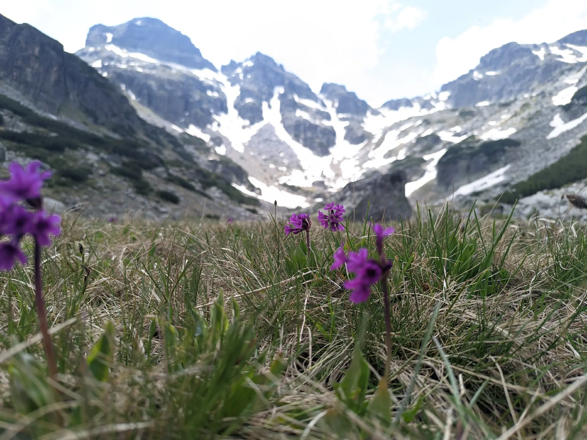
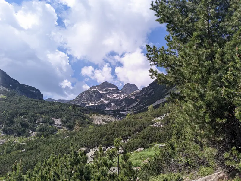
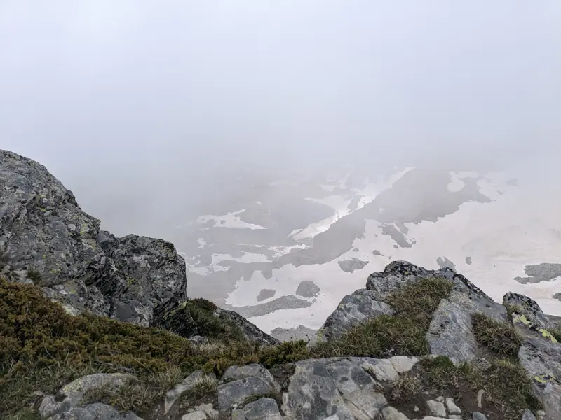
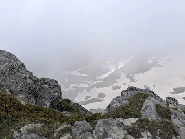
This is the usual route for climbing Malyovitsa Peak in the summer. There are some steep sections and a lot of rocks, but if we get lucky with the weather, we’ll see a really big part of Rila from above.
Elevation profile
2722 m2354 m1985 m
2722 m1985 m
0 km1.9 km3.7 km
Waypoints
1.3 km35 min
ViaThe Junction of Second Terrace
2.4 km1 h 13 min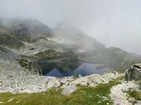
ViaElenino Lake
3.3 km1 h 45 min
ViaJunction - Malyovitsa Peak, Ivan Vazov Hut
3.7 km1 h 52 min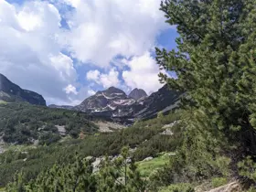
ToMalyovitsa peak
Segments
Ascent / descent↑234 m ↓0 mTechnical difficultyT2Fitness difficultyTerrainAlpineSurfaceDirt path · Rocky
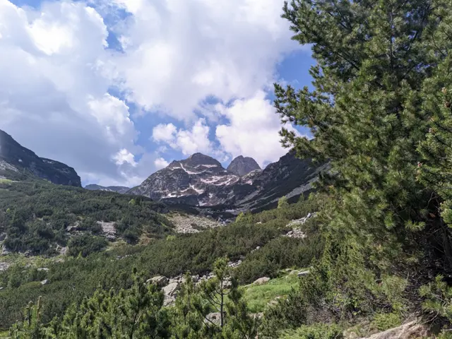
Ascent / descent↑241 m ↓0 mTechnical difficultyT2Fitness difficultyMarking typeColor marks · SignpostsTerrainAlpineSurfaceDirt path · Rocky
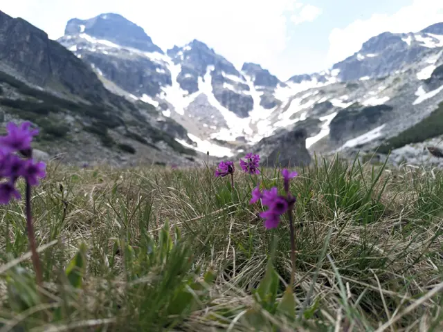
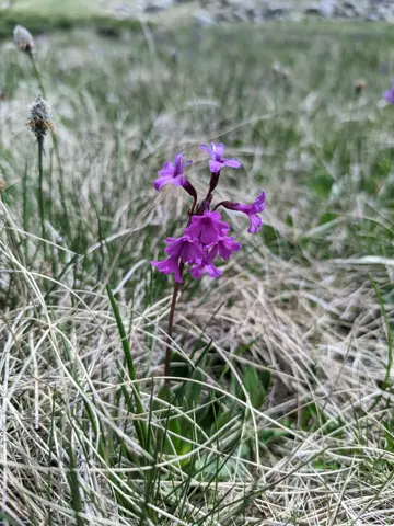
Ascent / descent↑17 m ↓0 mTechnical difficultyT1Fitness difficultyTerrainAlpine · MeadowSurfaceDirt path
The route and GPX file are approximate and may have been submitted or verified by a user like you. Check the source, date, forecast, restrictions, and your own preparedness. Don't rely solely on your phone or a single GPS track. In case of immediate danger, call 112.
Reviews
Log in to leave a reviewShare your experience and help other hikers.
LoginNo reviews yet.