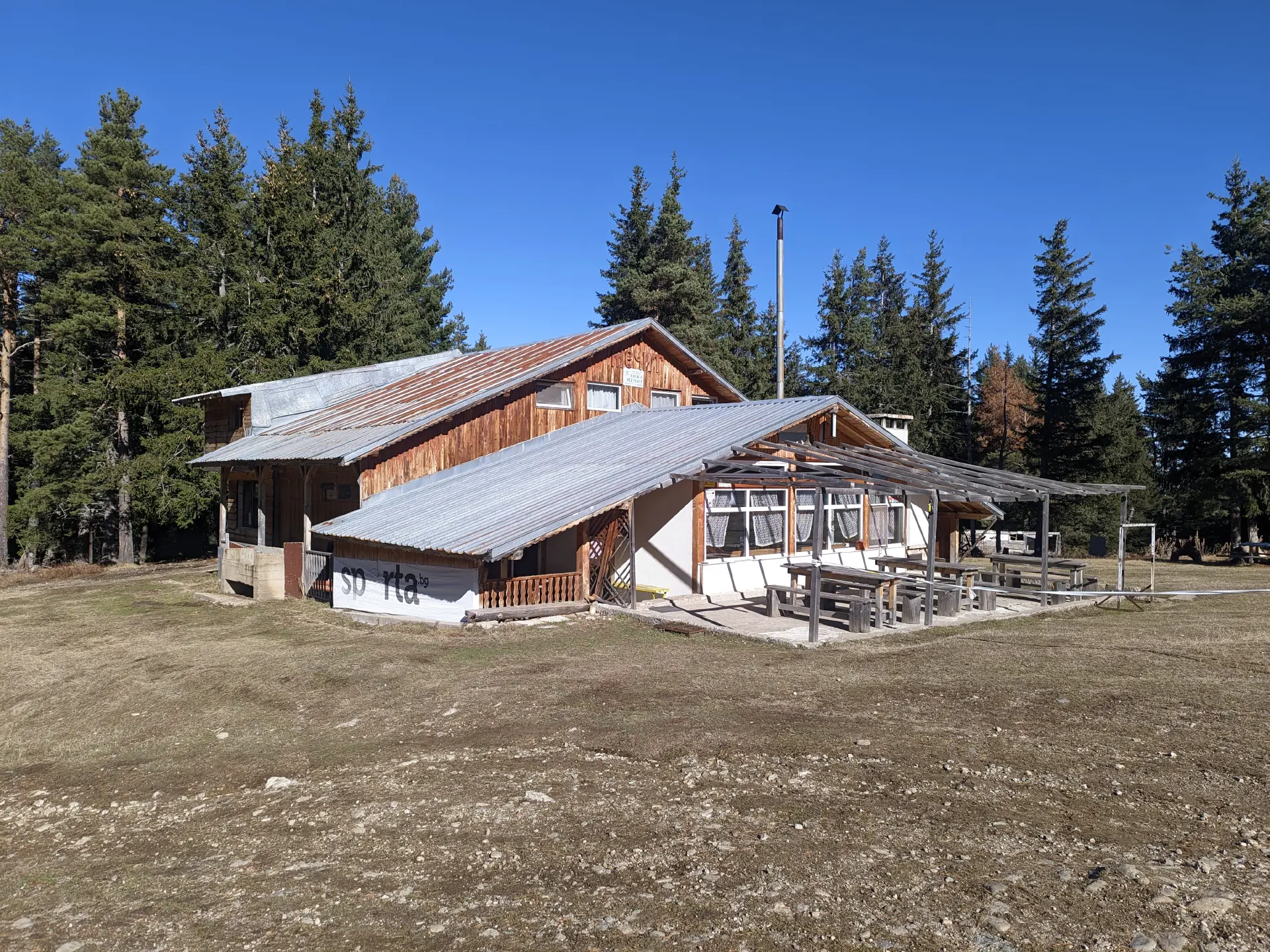
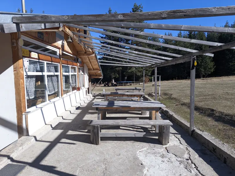
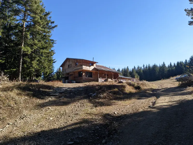
Mechit Hut
Open year-round·1751m
Amenities
Electricity
WiFi
Water
Hot water
Bathroom
Indoor toilets
Cooked meals
Canteen
Drinks
Tea house
Payment
Cash
Opening Times
Open year-round
Trails
 Moderate
16.43 km·5 h 44 min·1272 m·1240 m
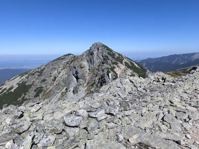
This is a long ridge trek through the eastern part of the Malyovitsa region of Rila. We will pass by Yonchevo Lake and above Upper Lopushko Lake, then cross Lopushki and Mechit peaks. From there, we will see Musala Peak, the Skakavtsi ridge, and Lake Jozola - which has recently become popular as 'the most difficult-to-access lake in Rila' and has caused more than a few people to get lost. We won't be heading down to the lake itself; instead, we will descend along the Kaiser's Road to Mechit Hut. There is no water after Yonchevo Lake, so it is a good idea to carry plenty with us.
Hotel AlpinistMechit Hut
 Moderate
4.6 km·2 h·587 m·3 m
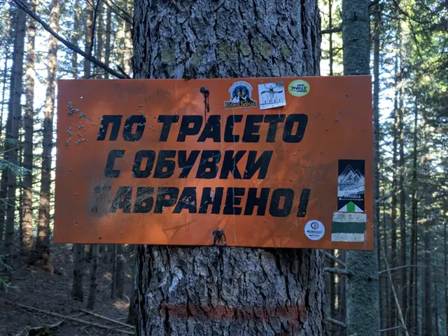
The trail from Govedartsi to Mechit Hut starts from the villa zone near the ski slope, where there is a wider section of the road used for parking. You can reach the villa zone by car, or you can come by public transport—minibuses depart from Samokov bus station to Govedartsi several times a day. If you are coming by minibus from Samokov, you will first need to walk to the villa zone. Get off at the last stop in Govedartsi (in the direction of Malyovitsa), and then take the asphalt road that branches off to the left from the main road to Malyovitsa. Once you reach the intersection with Vasil Kolarov Street coming from the center of Govedartsi, turn right and keep walking along the asphalt road. After a while, you will see the first green stripes of the color marking. At the parking area before the ski slope, the road turns right towards it, but you will take the dirt road that continues straight ahead. There are other ways to climb up to the hut from here (for example, by turning right, passing the ski slope, and following the dirt road all the way to the top), but in the route described here, I have tried to follow the official marked trail as much as possible. Once you enter the forest, you just need to follow the GPS track. As of 11.2026, the marking is in very poor condition and there are forks everywhere, but most of them will lead you to the hut, so even if you are not quite on the marked trail, it won't be a disaster. There are steep sections along the trail (especially at the beginning), and around the middle you reach the ski slope, which you walk along for a bit. There, you will cross the dirt road coming from Govedartsi and then continue up the ski slope. At the top of the slope, the road and the trail markings merge and continue together to the hut. However, pay close attention here - once you reach the road past the end of the slope, you will see a fork. You need to take the right branch, as another dirt road splits off to the left and leads to the village of Mala Tsarkva instead of the hut.
Last Bus Stop in the Village of GovedartsiMechit Hut
 Moderate
9.76 km·3 h 30 min·391 m·445 m
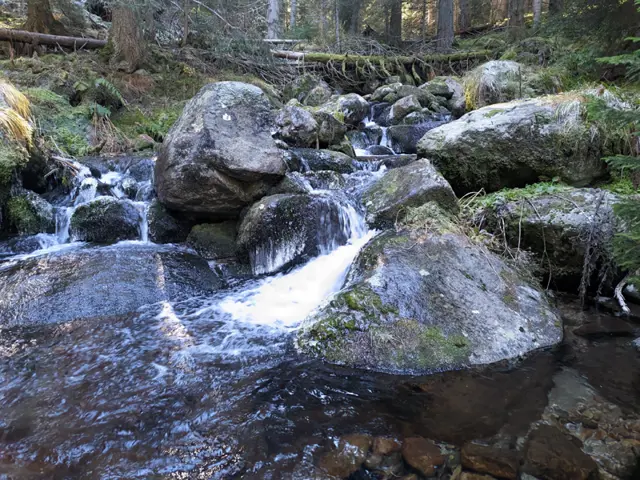
The trail through the Ovnarsko area is the shorter and physically easier option for hiking from Mechit Hut to the Malyovitsa resort. You walk through the forest the entire time, often on flat ground, and cross several streams descending from the cirques below Lopushki Peak and the Kupenite peaks. The alternative is the ridge route over Mechit and Lopushki peaks, which is much more scenic, but involves considerable distance and elevation gain. However, if you choose the trail through Ovnarsko, you must definitely carry a GPS with you, as the route passes through numerous logging areas, is intersected by dozens of dirt roads, and rarely has signposts at junctions. In places, the trail markings have been destroyed by logging, and most of the dirt roads are new and do not appear on maps. You will even pass a junction where six logging roads meet with no markings at all. The trail starts right across from the entrance of the old building at Mechit Hut, where you can also spot the first red trail blazes. At the beginning, you descend through the forest, and then, at the entrance to the national park, a short climb begins. This is also where the first fork is - just before the signs marking the start of the national park, your forest path merges diagonally with a dirt road coming in from the right. You will walk along this road for a little over half a kilometer before reaching a second fork, where you need to leave the road. Although the path heading right and downhill here is much narrower than the road and not easy to spot among the trees, there are several signposts and visible markings that clearly show the way. This trail will lead you to the first river on the route - Golyama Lopushnitsa, which starts from the northeastern foothills of Lopushki Peak. Next comes a relatively flat section through the forest, crossing one or two smaller streams. About half a kilometer from the fork where you left the road, you will emerge onto a forest clearing where the path may be hard to see in the tall grass, making it tricky to tell where the trail continues into the woods on the opposite side. On the BgMountains map, this meadow is marked as "Mlakoto Torishte" (Little Dunghill). The navigation challenges up to this point are minor compared to what lies ahead. After roughly another kilometer, you will cross Malka Lopushnitsa, which flows from the Lopushki Lakes. After the river, the section of the national park you’ve been walking through ends, and from here on you will be going through unprotected territory all the way to the Malyovitsa resort. Soon you will see the first felled trees, and the path turns into a wider dirt road. Here, the effects of logging become increasingly visible, landmarks in the scenery become less reliable, and the dirt roads multiply and branch out more and more. The last fork where trail markings still remain is just before Ovnarsko. Your trail turns right, perpendicular to the dirt road you are on, and heads straight down through a clear-cut - a swath cut through the forest surrounded by fallen trunks. The descent here is very steep for about 300 meters, after which the trail branches off to the left of the clearing. This turnoff is easy to miss, so it is a good idea to keep an eye on your GPS device. After another 50 meters or so along this turnoff, you will step out onto an asphalt road. This is the Ovnarsko area, where there are bungalows (somewhere in the forest around) and the ruins of former buildings. Today, these dilapidated asphalt roads appear to be used by loggers. To the left of the asphalt road, shortly after you start walking along it, there is a pull-out marked as a parking area on the BgMountains map. At one end of it stands a well-maintained drinking fountain, where I even saw a bar of soap left there. Further down, the road makes several bends, passes another working fountain, and leads out to that six-way junction mentioned earlier. How do you navigate that junction? Even with a GPS, it can be tricky because the branching roads are close together and the satellite signal in the forest may not be very strong. So here is a tip valid as of November 2026: as you enter the junction, you will see a wooden table with two benches on your left. Pass it and take the second fork to the left after it. About 50 meters down this dirt road, you will spot the trail markings again, now consisting of two colors - your red trail and the blue trail coming from Govedartsi. Beyond this point, it is impossible to describe which way to turn at every fork, as the junctions and roads simply become too numerous. You will successively cross Gorna Preka River, Sredna Preka River, and Dolna Preka River, which originate from the foothills of Popova Kapa and the lakes in the Strashnoto Lake area. After passing Sredna Preka River, the blue trail branches off to the left and uphill at one of the junctions - it leads to Yonchevo Lake, where Sredna Preka River begins. After more forks and new dirt roads that are not on the map, you will need to turn left off the dirt road you are following and continue along a forest footpath. Here, the markings become clearer again, though you will soon reach more logging places and dirt roads. Finally, just before the Malyovitsa complex, you will walk for half a kilometer along a very wide ski track, from which - as compensation for the logging areas you passed through - a view of Malyovitsa Peak opens up for the very first time.
Mechit HutHotel Alpinist
Nearby Places

Mechit Peak
2567 mMechit Peak (or Golyam Mechit) is a panoramic peak in the Malyovitsa section of Rila.
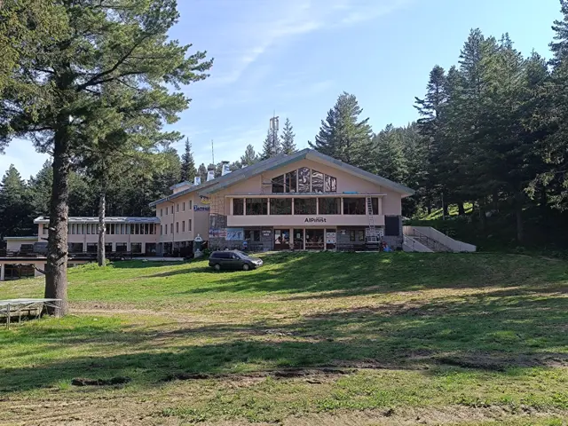
Hotel Alpinist
1712 mPreviously known as ЦПШ (Central Mountain School). Now it is a hotel.
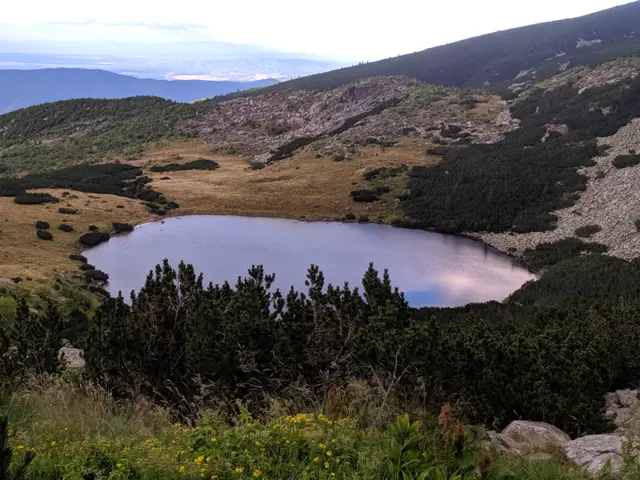
Yonchevo Lake
2109 m
Lopushki Peak
2698 mAccess Points
Reviews
Log in to leave a reviewShare your experience and help other hikers.
LoginNo reviews yet.