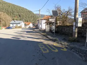
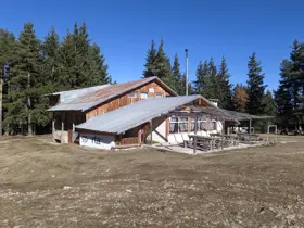
Last Bus Stop in the Village of Govedartsi – Mechit Hut
Hiking·4.6 km·2 h·587 m
Elevation profile
1752 m1460 m1167 m
1752 m1167 m
0 km2.3 km4.6 km
Waypoints
The route and GPX file are approximate and may have been submitted or verified by a user like you. Check the source, date, forecast, restrictions, and your own preparedness. Don't rely solely on your phone or a single GPS track. In case of immediate danger, call 112.
Reviews
Log in to leave a reviewShare your experience and help other hikers.
LoginNo reviews yet.
Related routes
Trails that cross or pass near the current one.
 Moderate
16.43 km·5 h 44 min·1272 m·1240 m
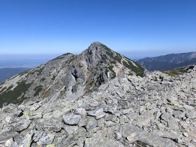
This is a long ridge trek through the eastern part of the Malyovitsa region of Rila. We will pass by Yonchevo Lake and above Upper Lopushko Lake, then cross Lopushki and Mechit peaks. From there, we will see Musala Peak, the Skakavtsi ridge, and Lake Jozola - which has recently become popular as 'the most difficult-to-access lake in Rila' and has caused more than a few people to get lost. We won't be heading down to the lake itself; instead, we will descend along the Kaiser's Road to Mechit Hut. There is no water after Yonchevo Lake, so it is a good idea to carry plenty with us.
Hotel AlpinistMechit Hut
Росен Пантелеев