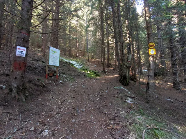
Mechit Hut – Hotel Alpinist (via Ovnarsko)
Hiking·9.76 km·3 h 30 min·391 m
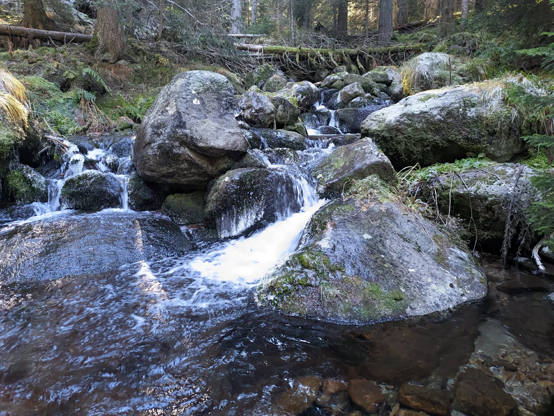
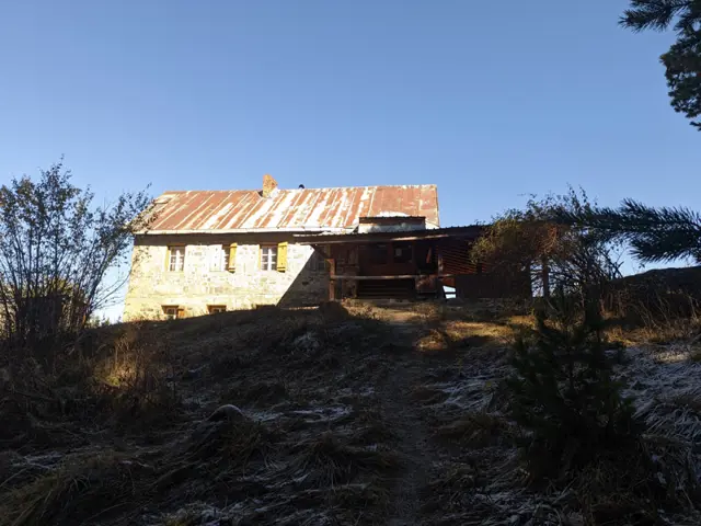
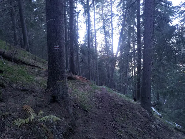
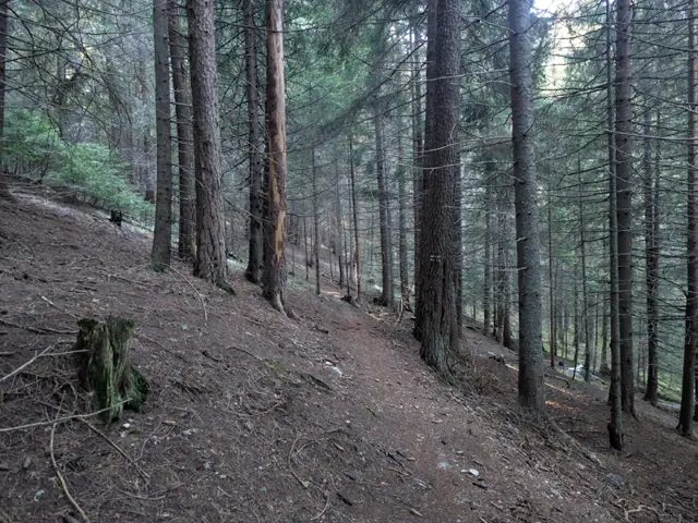
The trail through the Ovnarsko area is the shorter and physically easier option for hiking from Mechit Hut to the Malyovitsa resort. You walk through the forest the entire time, often on flat ground, and cross several streams descending from the cirques below Lopushki Peak and the Kupenite peaks. The alternative is the ridge route over Mechit…
Elevation profile
1793 m1643 m1493 m
1769 m1517 m
0 km4.9 km9.76 km
Waypoints
0 km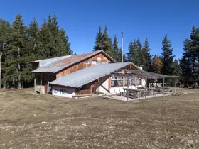
FromMechit Hut
9.8 km
ToHotel Alpinist
The route and GPX file are approximate and may have been submitted or verified by a user like you. Check the source, date, forecast, restrictions, and your own preparedness. Don't rely solely on your phone or a single GPS track. In case of immediate danger, call 112.
Reviews
Log in to leave a reviewShare your experience and help other hikers.
LoginNo reviews yet.
Related routes
Trails that cross or pass near the current one.
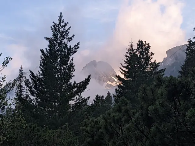 Easy
2.87 km·55 min·276 m·0 m
This is the classic trail to Malyovitsa Hut from the former Central Mountain School (ЦПШ). The trail follows a gravel road, which goes through a coniferous forest along Malyovitsa River. An easy trail, suitable for children.
Hotel AlpinistMalyovitsa Hut
Росен Пантелеев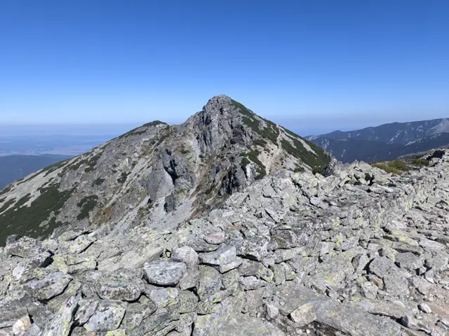 Moderate
16.43 km·5 h 44 min·1272 m·1240 m
This is a long ridge trek through the eastern part of the Malyovitsa region of Rila. We will pass by Yonchevo Lake and above Upper Lopushko Lake, then cross Lopushki and Mechit peaks. From there, we will see Musala Peak, the Skakavtsi ridge, and Lake Jozola - which has recently become popular as 'the most difficult-to-access lake in Rila' and has caused more than a few people to get lost. We won't be heading down to the lake itself; instead, we will descend along the Kaiser's Road to Mechit Hut. There is no water after Yonchevo Lake, so it is a good idea to carry plenty with us.
Hotel AlpinistMechit Hut
Росен Пантелеев Hard
4.6 km·2 h·587 m·3 m
The trail from Govedartsi to Mechit Hut starts from the villa zone near the ski slope, where there is a wider section of the road used for parking. You can reach the villa zone by car, or you can come by public transport—minibuses depart from Samokov bus station to Govedartsi several times a day. If you are coming by minibus from Samokov, you will first need to walk to the villa zone. Get off at the last stop in Govedartsi (in the direction of Malyovitsa), and then take the asphalt road that branches off to the left from the main road to Malyovitsa. Once you reach the intersection with Vasil Kolarov Street coming from the center of Govedartsi, turn right and keep walking along the asphalt road. After a while, you will see the first green stripes of the color marking. At the parking area before the ski slope, the road turns right towards it, but you will take the dirt road that continues straight ahead. There are other ways to climb up to the hut from here (for example, by turning right, passing the ski slope, and following the dirt road all the way to the top), but in the route described here, I have tried to follow the official marked trail as much as possible. Once you enter the forest, you just need to follow the GPS track. As of 11.2026, the marking is in very poor condition and there are forks everywhere, but most of them will lead you to the hut, so even if you are not quite on the marked trail, it won't be a disaster. There are steep sections along the trail (especially at the beginning), and around the middle you reach the ski slope, which you walk along for a bit. There, you will cross the dirt road coming from Govedartsi and then continue up the ski slope. At the top of the slope, the road and the trail markings merge and continue together to the hut. However, pay close attention here - once you reach the road past the end of the slope, you will see a fork. You need to take the right branch, as another dirt road splits off to the left and leads to the village of Mala Tsarkva instead of the hut.
Last Bus Stop in the Village of GovedartsiMechit Hut
Росен Пантелеев