Trails
+ Moderate
7.9 km·2 h 5 min·898 m·58 m
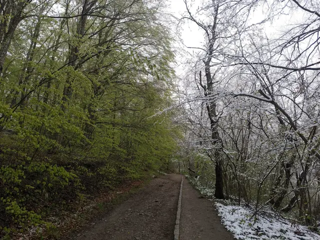
The hiking path from Knyazhevo to Golden Bridges Stone Run is probably the most popular in Vitosha. The current route follows it to the Beli Breg area, and then it turns towards Septemvri Hut.
Knyazhevo Tram StopSeptemvri Hut
 Росен Пантелеев
 Moderate
6.03 km·1 h 50 min·157 m·245 m
The route from the Momina Skala Hut to the Bai Krastyo Shelter is part of Vitosha’s mid-mountain (elevation-wise) ring trail. The climbs and descents along the path are mainly gradual, and we walk mostly through the forest, though views of Sofia open up frequently along the way. The trail crosses a vast stone river and later traverses a stream (Dragalevtsi River) featuring a small waterfall. Note that this route is suitable only for summer travel, as a portion of the trail passes through an avalanche-prone area.
Momina Skala HutBai Krastyo Shelter
Росен Пантелеев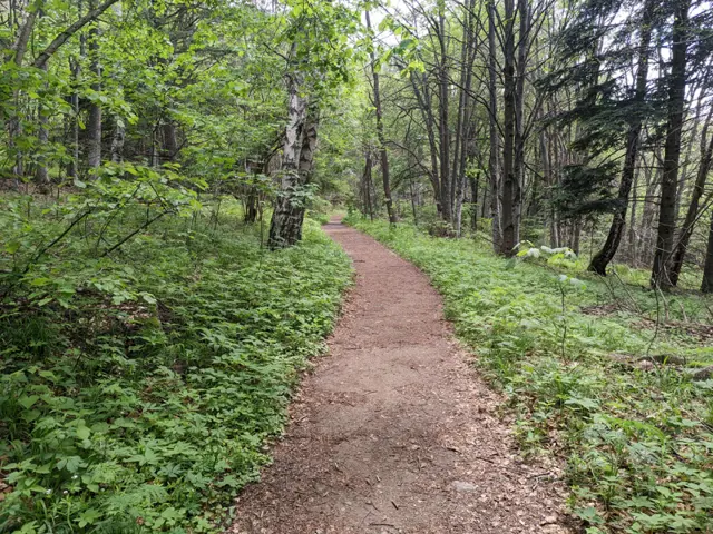 Easy
3.52 km·1 h·53 m·145 m
An alternative route from Momina Skala Hut to Zlatnite Mostove, passing through the area of Bukara, where it merges with the direct path from Kopitoto, Malkoto Kopitoto (the path through Planinishki Livadi), as well as the red-marked trail to Boyanа Waterfall.
Momina Skala HutZlatnite Mostove
Росен Пантелеев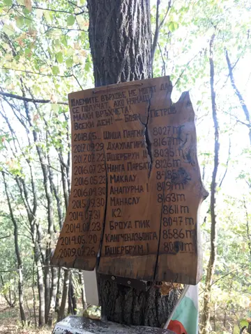 Hard
2.71 km·1 h 23 min·655 m·0 m
This is a trail that runs beneath the former Kopitoto chairlift. It was used by the legendary alpinist Boyan Petrov for endurance training. The route starts on the marked trail to the Golden Bridges and branches off to the left before the first footbridge. It then passes a residential building, crosses the Old and New Belovodski roads one after the other, and heads sharply uphill through the forest, where the actual challenge begins.
Knyazhevo Tram StopKopitoto
Росен Пантелеев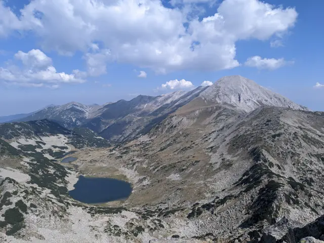 Hard
3.32 km·2 h 30 min·693 m·0 m
This is the most popular route for climbing Muratov Peak - from the southern side via the Banderishka Porta (gate), where the slope to the summit is moderate and the technical difficulty is relatively low.
Vihren HutMuratov Peak
Росен Пантелеев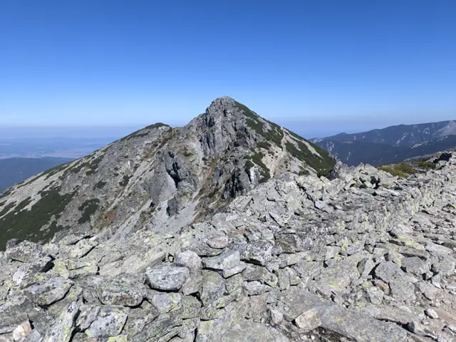 Moderate
16.43 km·5 h 44 min·1272 m·1240 m
This is a long ridge trek through the eastern part of the Malyovitsa region of Rila. We will pass by Yonchevo Lake and above Upper Lopushko Lake, then cross Lopushki and Mechit peaks. From there, we will see Musala Peak, the Skakavtsi ridge, and Lake Jozola - which has recently become popular as 'the most difficult-to-access lake in Rila' and has caused more than a few people to get lost. We won't be heading down to the lake itself; instead, we will descend along the Kaiser's Road to Mechit Hut. There is no water after Yonchevo Lake, so it is a good idea to carry plenty with us.
Hotel AlpinistMechit Hut
Росен Пантелеев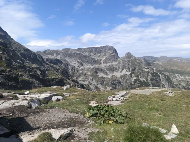 Hard
4.24 km·2 h 41 min·775 m·81 m
A trail to BAK, one of the true symbols of Bulgarian mountaineering, and to two of the peaks towering above the shelter - Kamilata and Orlovets. The trail to the Granitna Voda Shelter (the new BAK) presents no significant difficulty for a prepared hiker, but most of the peaks above the shelter are objectively dangerous, even though there are well-trodden paths leading to some of them.
Malyovitsa HutOrlovets Peak
Росен Пантелеев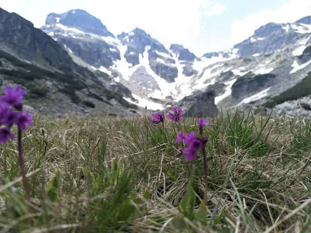 Moderate
3.81 km·59 min·732 m·0 m
This is the usual route for climbing Malyovitsa Peak in the summer. There are some steep sections and a lot of rocks, but if we get lucky with the weather, we’ll see a big part of Rila from above.
Malyovitsa HutMalyovitsa Peak
Росен Пантелеев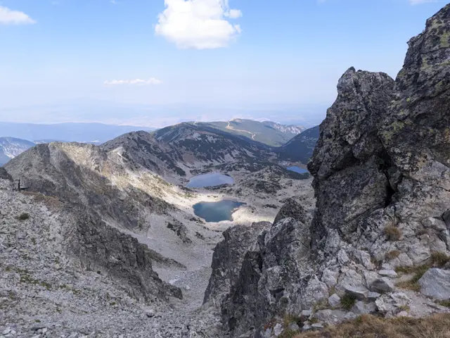 Moderate
7.32 km·3 h·684 m·125 m
This is the most popular summer route for climbing the highest peak in the Balkans and is one of the most scenic in Rila – we will see the five highest peaks in the mountain and pass along the shores of several glacial lakes. The Yastrebets Gondola lift takes us up to an altitude of nearly 2,400 meters and saves us most of the elevation gain, and along the way, there are two places where we can grab a bite to eat – Musala Hut and Ledeno Ezero (Ice Lake) Shelter. The route is suitable for a day trip from Sofia. Even if you don’t have a car, the bus ride to Borovets via Samokov takes about an hour and a half to two hours each way (including the wait at the stops), and the gondola lift takes 25 minutes to reach Yastrebets. So, if you leave early (with the first bus from Sofia at 7:30 AM), you can return on the same day.
Yastrebets Gondola Lift - Upper StationMusala Peak
Росен Пантелеев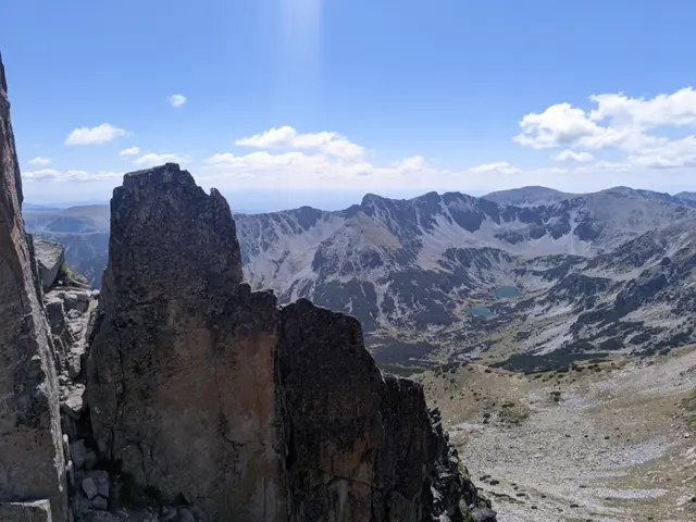 Hard
16.33 km·6 h 26 min·911 m·911 m
The Crown of Musala is one of the two classic alpine traverses in Rila – the other being the Malyovitsa Traverse. There is no shortage of dangerous sections, especially at Trionite (The Saws) and on the descent from Malka Musala Peak, so if you have doubts about your preparation, it is better to hire a mountain guide.
Yastrebets Gondola Lift - Upper StationYastrebets Gondola Lift - Upper Station
Росен Пантелеев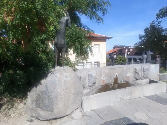 Moderate
1.81 km·50 min·233 m·0 m
The trail from Dragalevtsi to the Dragalevtsi Monastery, described here, starts from the neighborhood square. This square features a drinking fountain with a sculpture of a mountain goat. The trails to Aleko Hut and Cherni Vrah also begin from this same spot.
The square of DragalevtsiDragalevtsi Monastery
Росен Пантелеев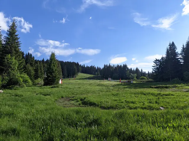 Moderate
9.59 km·3 h 20 min·404 m·396 m
This is one of the longer circular trails that can be taken from the Zlatnite Mostove (Golden Bridges) area. The route follows well marked trails, passing mostly through coniferous forests and meadows, and reaches its highest point at the Konyarnika area, which offers a view of Cherni Vrah. Along the way, there will be numerous opportunities to rest - six mountain huts, multiple gazebos, and a shelter. Drinking water along the trail is also not an issue, as we will pass by several water fountains.
Zlatnite MostoveZlatnite Mostove
Росен Пантелеев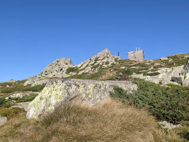 Moderate
8.26 km·3 h 40 min·945 m·64 m
Climbing Cherni Vrah from Zlatnite Mostove is likely the second-most popular route to the peak after the one from Aleko Hut. The elevation gain from here to the summit is greater, but you have a place to rest and eat along the way at Kumata Hut. Although the trail gets boggy in places after the hut and crosses the Vladaya River, there are no drinking fountains on it, so it is a good idea to stock up on water.
Zlatnite Mostove Bus StopCherni Vrah Shelter
Росен Пантелеев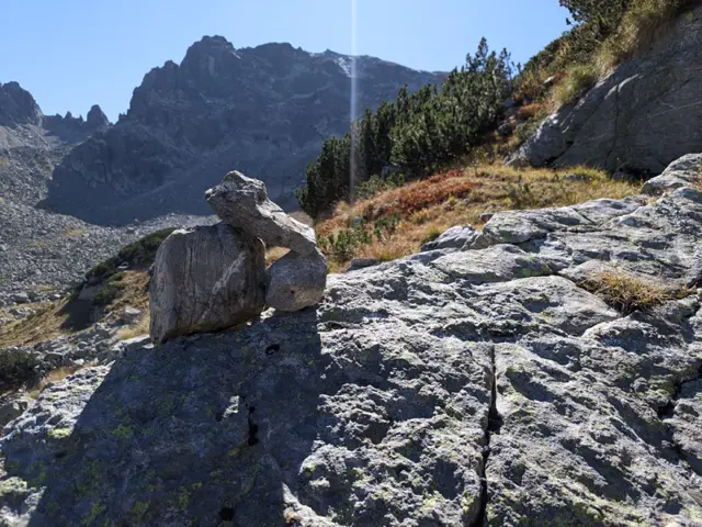 Hard
2.21 km·1 h 45 min·242 m·151 m
You can cross directly from Strashnoto Ezero (The Scary Lake) to BAK via the saddle between Lovnitsa and Kamilata peaks, but this option is risky. There is virtually no trail, and there is no shortage of places where you could fall or have a loose rock drop on your head. Ultimately, if you are not sure whether you can handle this route, don't take the risk. I am uploading this route anyway because all sorts of situations can happen, so it is good to have it here for reference.
Strashnoto Ezero (The Scary Lake) ShelterGranitna Voda Shelter (BAK)
Росен ПантелеевModerate
2.68 km·1 h 15 min·281 m·30 m
An easy route along the asphalt road, and forest paths, shortening the turns.
Kostenets Therme Gurgulitsa Hut
Росен Пантелеев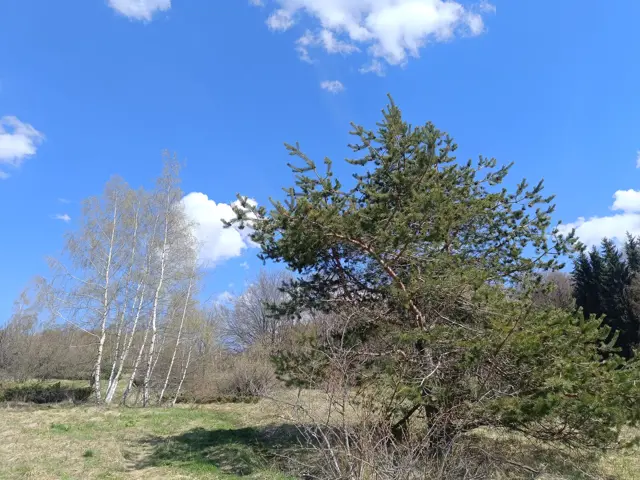 EasyРосен Пантелеев
 Moderate
16.61 km·6 h 5 min·1477 m·691 m
Koprivshtitsa Railway StationVezhen Hut
Росен Пантелеев ModerateРосен Пантелеев