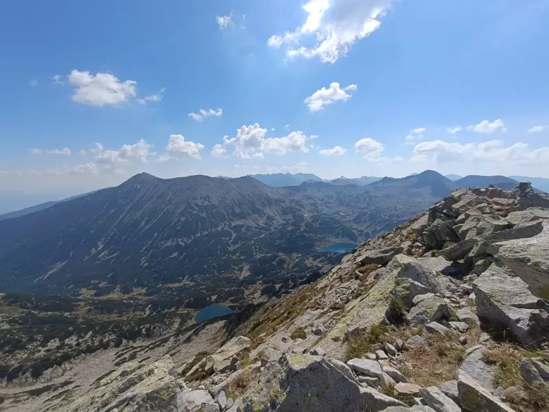
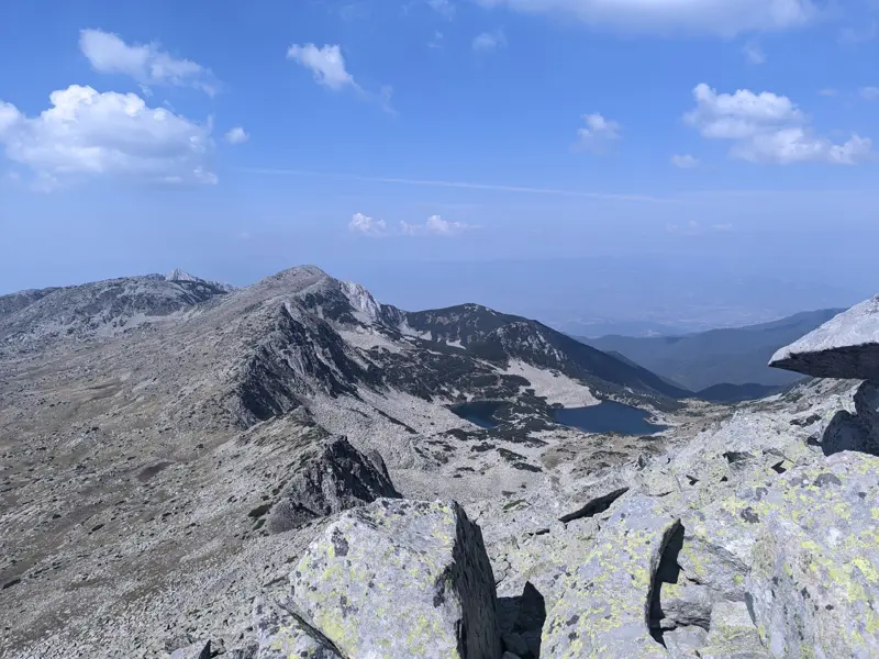
Hizha "Vihren" – Muratovo Lake - Muratov Peak
Home/Trails/Hizha "Vihren" – Muratovo Lake - Muratov PeakRate

Hizha "Vihren" – Muratovo Lake - Muratov Peak

Hiking·3.34 km·2 h 30 min·693 m

This is the most popular route for climbing Muratov Peak - from the southern side via the Banderishka Porta (gate), where the slope to the summit is moderate and the technical difficulty is relatively low.

Elevation profile

2670 m2318 m1965 m
2670 m1965 m
0 km1.7 km3.34 km

Waypoints
Segments

Ascent / descent↑256 m ↓0 mTechnical difficultyT2Fitness difficultyMarking typeColor marks · SignpostsMarking qualityExcellentTerrainAlpineSurfaceDirt path · Rocky

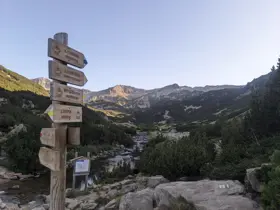
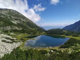
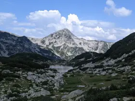
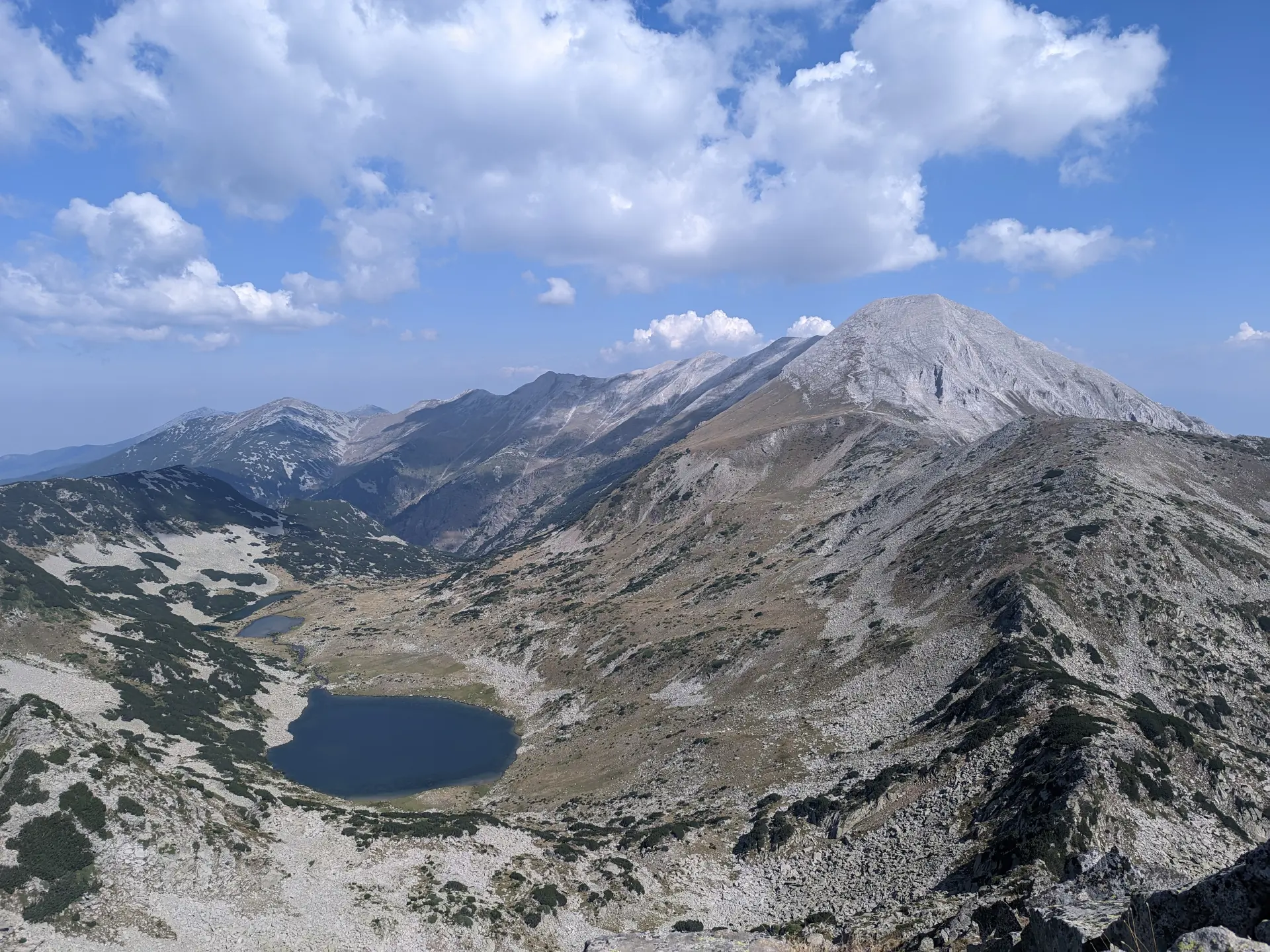
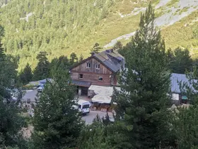
From Vihren Hut, we set off along the trail to Sinanitsa Hut, which is marked with yellow and blue trail markers (the blue trail branches off toward Yane Sandanski Hut shortly after the Banderishka Porta pass). After about ten minutes, we arrive at a wooden bridge over the Banderitsa River. We do not cross it; instead, we continue along the right side of the river. Initially, the path here is nearly flat, but a relatively steep climb soon awaits us. We hike through dwarf pine, but the trail is very well-maintained and the clearing is excellent. When we reach Muratovo Lake, we are directly beneath the peak. However, two more steep ascents lie ahead before reaching the summit, making the small meadow by the lake a perfect spot for a rest.

Download segment GPX
Ascent / descent↑261 m ↓0 mTechnical difficultyT3Fitness difficultyMarking typeColor marks · SignpostsMarking qualityGoodTerrainAlpineSurfaceDirt path · Rocky

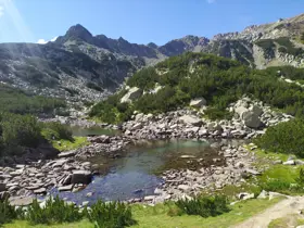
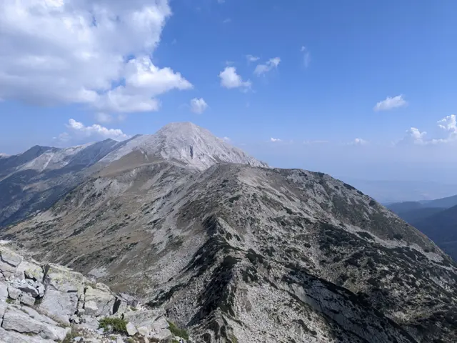
After Muratovo Lake, we head uphill toward the Banderishka Porta pass. We pass two of the Ovinati Lakes - the group of lakes to which Muratovo Lake itself belongs - after which the slope becomes steeper as we reach the foot of Banderishka Porta. If the trail ahead looks to you like an endless scree of large rocks and gravel, you're not mistaken - it really is. Right at the pass, the trails for Banderishki Chukar and Muratov Peak branch off from the main marked route.

Download segment GPX
Ascent / descent↑176 m ↓0 mTechnical difficultyT4Fitness difficultyTerrainAlpineSurfaceRocky

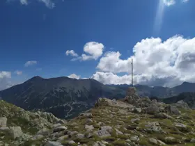
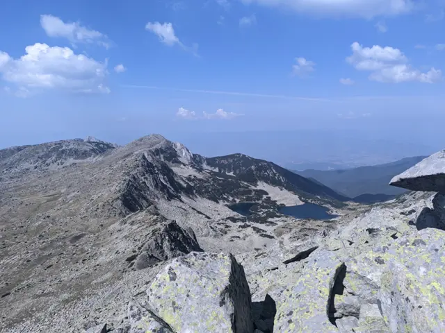
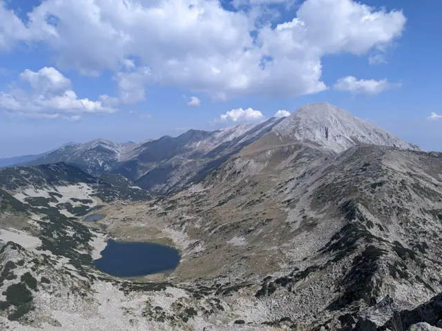
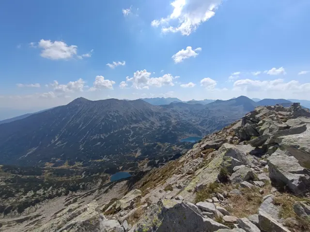
Next comes the most technical part of the hike. From Banderishka Porta, the path to the summit involves scrambling over rocks - in some places on all fours - along with a significant elevation gain of about 200 meters. The peak is quite popular in the summer, so if we begin to question our sanity for heading up there, we can at least take comfort in knowing that we are not alone.
Download segment GPX
The route and GPX file are approximate and may have been submitted or verified by a user like you. Check the source, date, forecast, restrictions, and your own preparedness. Don't rely solely on your phone or a single GPS track. In case of immediate danger, call 112.
Росен Пантелеев

Trail contributed by

Росен Пантелеев

46 trails·210 places·2 reviews·Member since Apr 2026

Reviews

No reviews yet.