Huts in Pirin
Pirin Hut
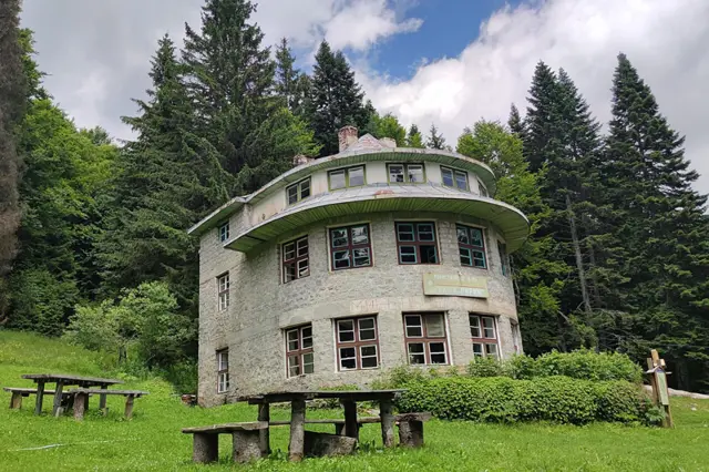
1640 mLocated in the "Trite Reki" (Three rivers) area, the hut was built in 1934 and was originally called "Velebit" (after the Croatian mountain Velebit, part of the Dinaric Alps), then renamed "Trite Reki", and since 1945 it has had its current name.
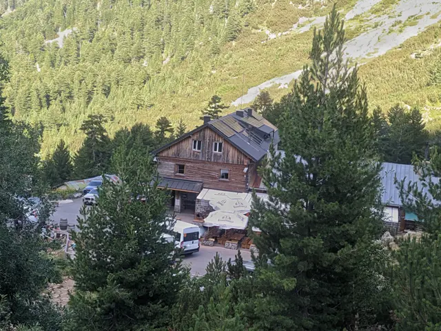
Vihren Hut
1972 mVihren Hut is located on the bank of the Banderitsa River, between the peaks of Vihren and Todorka. It is the main starting point for climbing Vihren Peak, as well as for hikes to Koncheto and the numerous glacial lakes in the area. The hut can be reached via an asphalt road from the town of Bansko and a regular summer minibus service that runs three times a day.
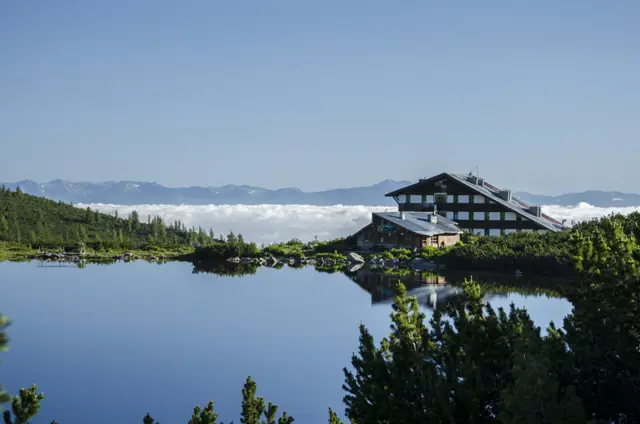
Bezbog Hut
2236 m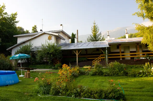
Predel Hut
1013 m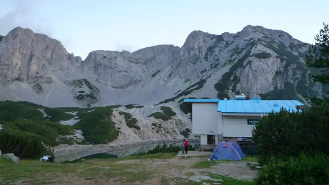
Sinanitsa Hut
2185 m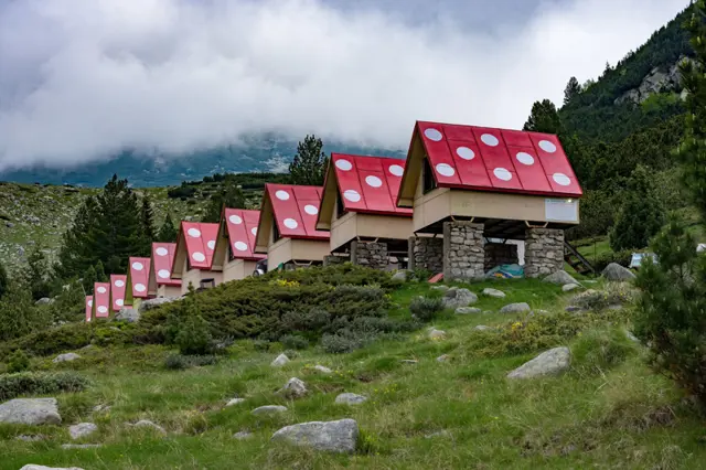
Spano Pole Shelter
2055 mTrite Reki Hut
1640 mTrite Reki Hut (literally The Three Rivers) is located in the valley of the Demirkapiyska River in the Trite Reki area. Until 2020, it was called Gorski Rai (Forest Paradise).
Tevno Ezero Shelter
2512 mTrails in Pirin
 Hard
Hard Росен Пантелеев
 Moderate
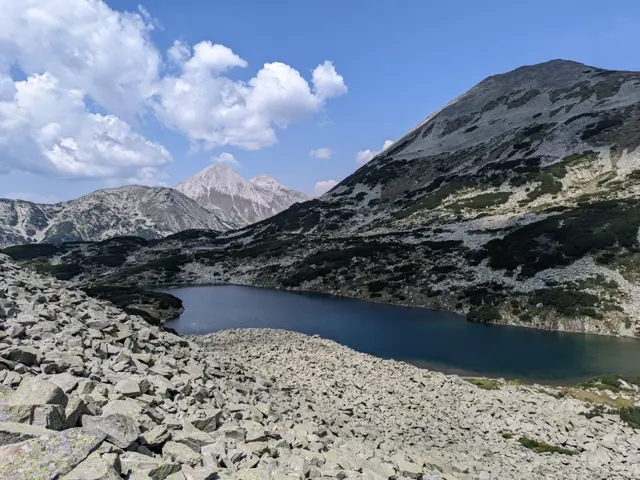
This is one of the faster options for descending from the Tevno Ezero Shelter if you plan to catch the lift from Bezbog Hut afterward. The trail is varied but mostly rocky, and the section from the Left Kraledvor Gate to the first Kraledvorski Lakes is extremely rocky with loose, unstable boulders. Just when you reach Popovo Lake and think the hard part is over, the final ascent and descent to Bezbog Hut will prove you wrong.
Росен Пантелеев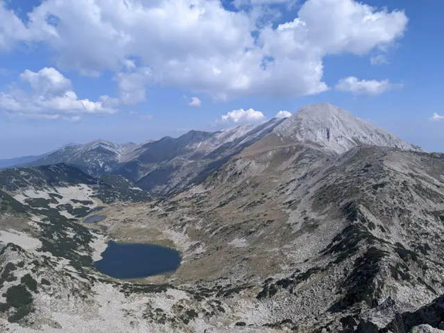 Hard
HardThis is the most popular route for climbing Muratov Peak - from the southern side via the Banderishka Porta (gate), where the slope to the summit is moderate and the technical difficulty is relatively low.
Росен Пантелеев ModerateРосен Пантелеев
 HardРосен Пантелеев
 EasyРосен Пантелеев
Places in Pirin
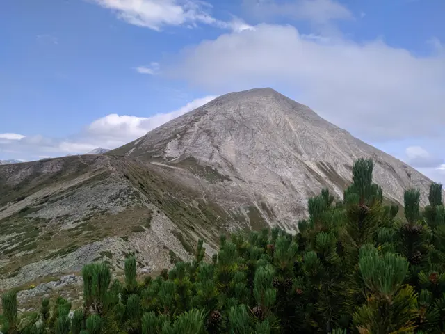
Vihren Peak
2914 mMount Vihren is the highest peak in Pirin, the second-highest peak in Bulgaria, and the third-highest on the Balkan Peninsula after Mytikas in Mount Olympus. It is located on the main Pirin ridge between the peaks of Kutelo and Hvoynati Vrah. Vihren is also the first peak along the marble section of the ridge when heading northwest. Its white pyramid is visible from a large part of the mountain, often alongside the other large pyramid next to it - that of neighboring Kutelo. It is accessible via marked trails from Vihren Hut, which is located at its foot. Marble does not retain water, which is why the vegetation along the marble ridge and Mount Vihren is far from abundant. Yet it includes some rare plants, such as the edelweiss. By the way, the edelweiss, which you can sometimes encounter right on the marked trails, is strictly forbidden to pick. Chamois live around the peak; they are used to the heavy flow of tourists and are not disturbed by their presence, so you may have a chance to photograph them from a relatively close distance.
Росен Пантелеев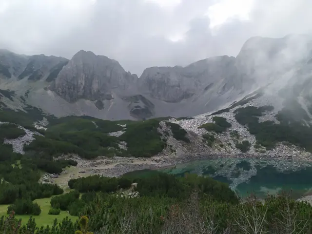
Sinanishko Lake
2181 mA turquoise lake located between Sinanitsa Hut and the marble wall of Sinanitsa Ridge.
Росен Пантелеев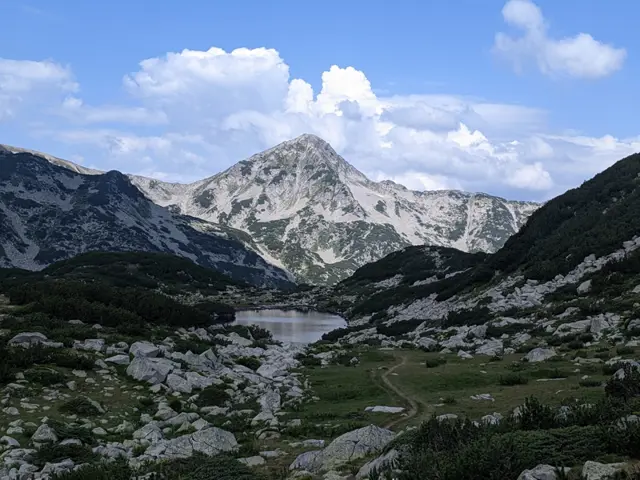
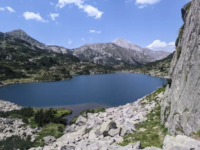
Ribno Banderishko Lake
2195 mThe largest and deepest lake in the Banderishki Lakes group.
Росен Пантелеев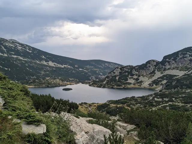
Zhabeshko Lake
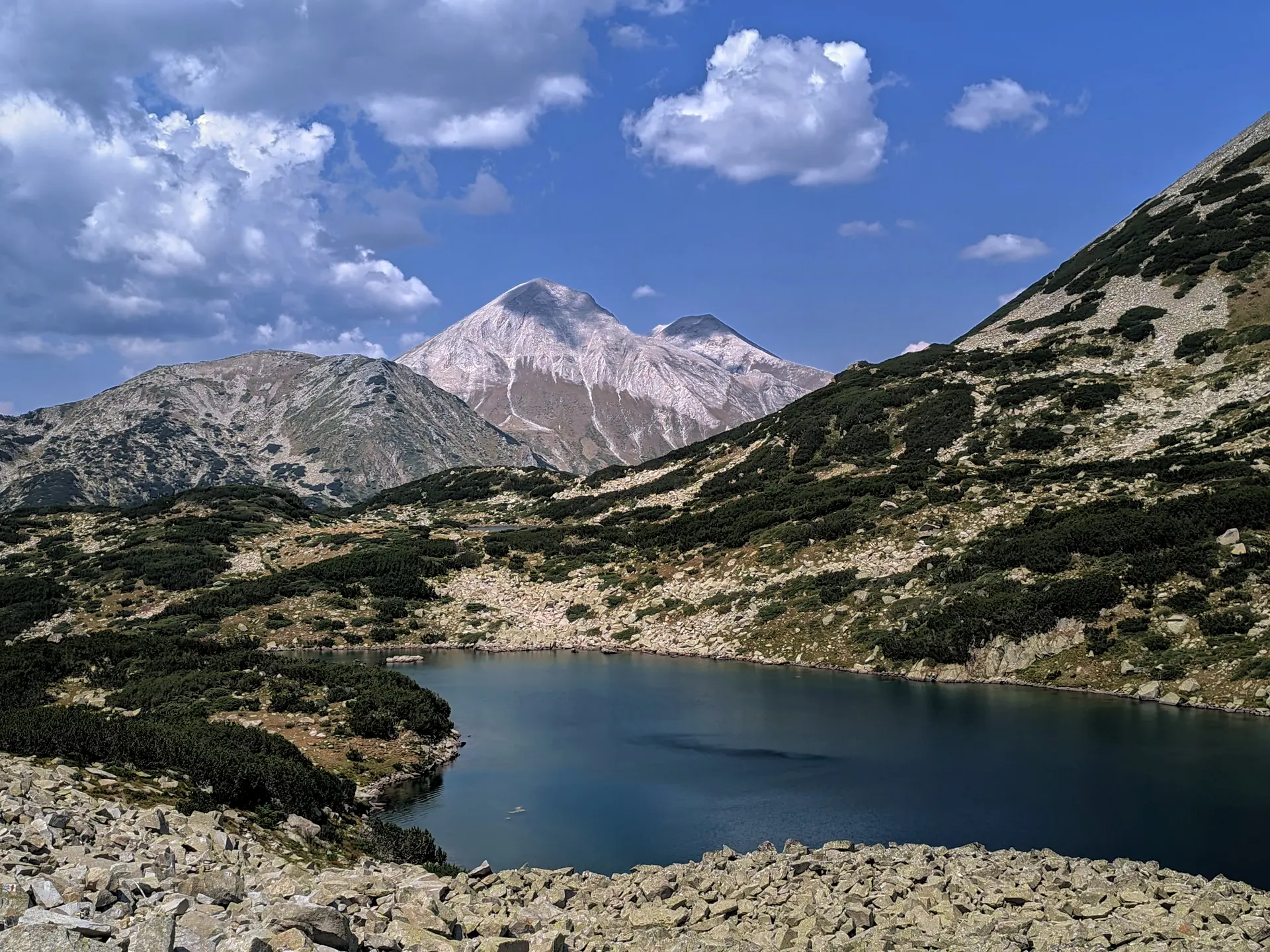
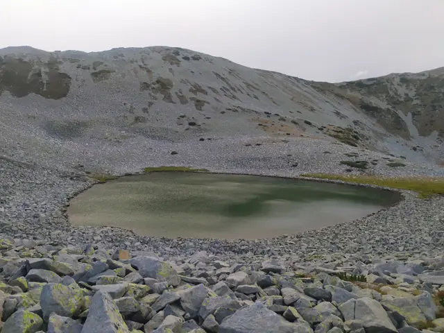
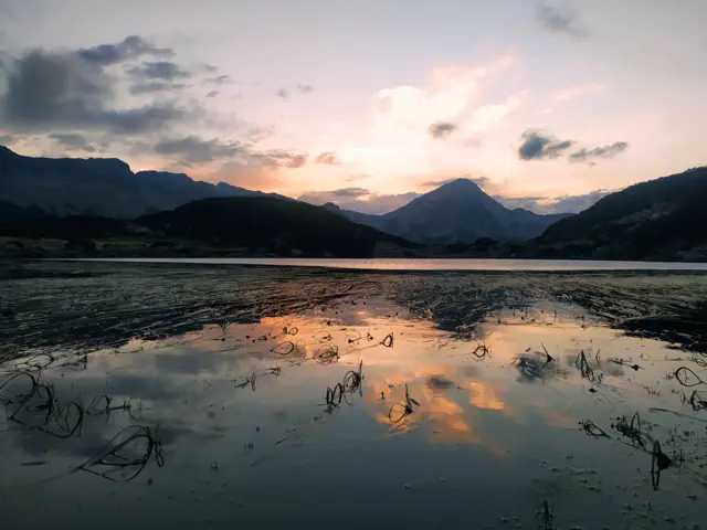
2322 mZhabeshko (Frog) Lake is located under the southern slope of Malka Todorka and offers a wonderful panorama of Muratov Peak, whose pyramidal silhouette is reflected in its waters. The lake is part of the Banderishki Lakes group and owes its name to the tadpoles that can be seen in its warm, shallow waters in the summer. The marked trail from Vihren hut to Demyanitsa hut runs along the shore of the lake.
Росен Пантелеев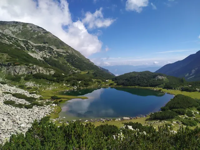
Muratovo Lake
2230 mOften called the "Heart of Pirin" because of its characteristic shape, Muratovo Lake is one of the most popular places to visit near Vihren Hut, accessible to beginner hikers. It is located under the pyramid of Muratov Peak on the trail leading from Vihren hut through Banderishka Gate to Sinanitsa Hut. There is a small meadow next to the lake, and only further up the trail to the gate can you visit the other, smaller lakes from the group to which Muratovo Lake itself belongs - the Ovinati (Hvoynati) Lakes.
Росен Пантелеев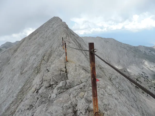
Koncheto
2810 mKoncheto ("The Little Horse") is a knife-edge ridge in Pirin. It lies on the main mountain backbone between the peaks of Kutelo and Banski Suhodol. Its northeastern slopes are almost vertical. They drop more than 400 meters into the dry Banski Suhodol cirque. The southwestern slope is less steep. However, a fall from this side can still be fatal. At its narrowest point, the ridge is only about half a meter wide. In the past, when the metal safety cable that now runs along it was not yet installed, hikers used to cross these narrow parts by straddling the rock as if riding a horse. This is how Koncheto got its name. The length of the ridge is about 400 meters, which means that crossing it requires at least twenty minutes of complete concentration - something that might not be entirely easy to achieve after four to five hours of prior hiking, which is how long it takes to reach it. On summer weekends, Koncheto is heavily visited, and passing hikers coming from the opposite direction along the narrowest sections can put an extra strain on your nerves. In autumn, the ridge can partially freeze over, especially in the evening, making the already polished rock even more slippery. The red-marked trail between Yavorov Hut and Vihren Hut crosses Koncheto. This trail is part of the European long-distance path E4.
Росен Пантелеев