Places
+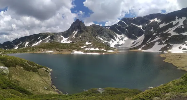
Bliznaka Lake
2243 mBliznaka (The Twin) is the fourth of the Seven Rila Lakes group. It consists of two parts connected by a narrow strait, which gives the lake its name. It is the third deepest lake after Okoto (The Eye) and Babreka (The Kidney), with a depth of 27.5 meters, but it is the largest by surface area. It collects water from the three lakes located above it and drains into Trilistnika (The Trefoil) Lake.
 Росен Пантелеев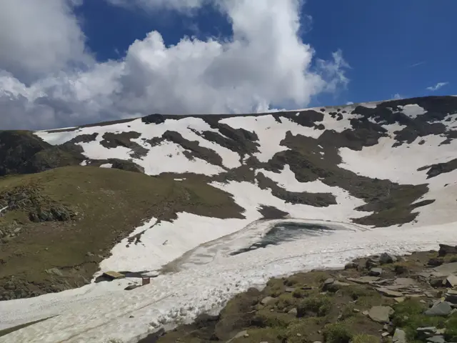
Salzata Lake (The Tear)
2535 mThe Tear (Salzata) is the highest (from top to bottom) of the Seven Rila Lakes. It is the smallest lake in the group by surface area and the second shallowest (4.5 meters) after the Fish Lake (Ribnoto). It drains into the southern part of the Twin Lake (Bliznaka).
Росен Пантелеев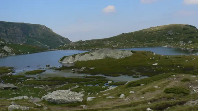
Trilistnika (The Trefoil) is the fifth lake in the Seven Rila Lakes group. It is supplied with water from Lake Bliznaka (The Twin), as well as from streams with their own springs. Two streams originate from it: a southeastern one, which turns northeast and flows into Ribnoto Lake (The Fish Lake) located below it, and a northwestern one, which crosses the trail between the Seven Lakes Hut and the Rilski Ezera Hut. The second stream is considered to be the source of the German River.
Росен Пантелеев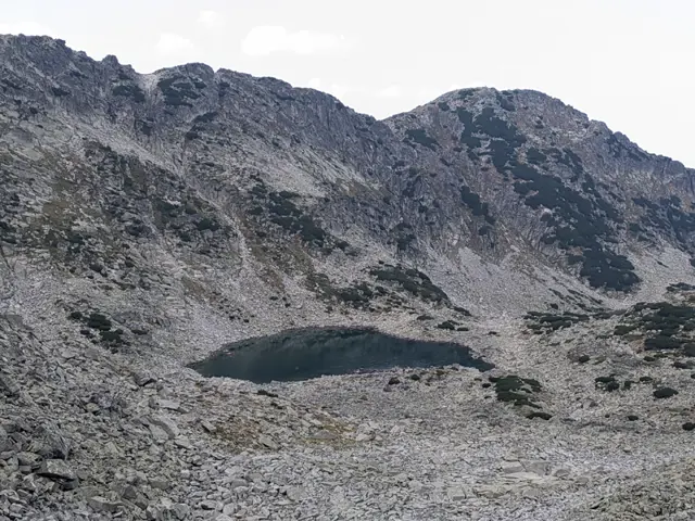
Upper Musala Lake
2576 mUpper Musala Lake is the second (from top to bottom) of the Musala Lakes group. It is located below Lyudmil Yankov Peak, formerly known as Bezimenen (Nameless) Peak, which is why hikers also refer to this lake as Bezimiennoto by association."
Росен Пантелеев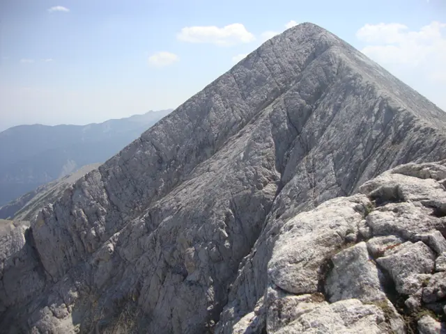
Kutelo Peak
2908 mKutelo is the second highest peak in Pirin, the third highest in Bulgaria, and the fifth highest on the Balkan Peninsula. It is located on the marble ridge north of Vihren Peak. The Koncheto karst ridge begins northwest of it. To the southeast lies the Kazana cirque along with the shelter of the same name. The peak has two summits, which are sometimes designated as Kutelo 1 and Kutelo 2.
Росен Пантелеев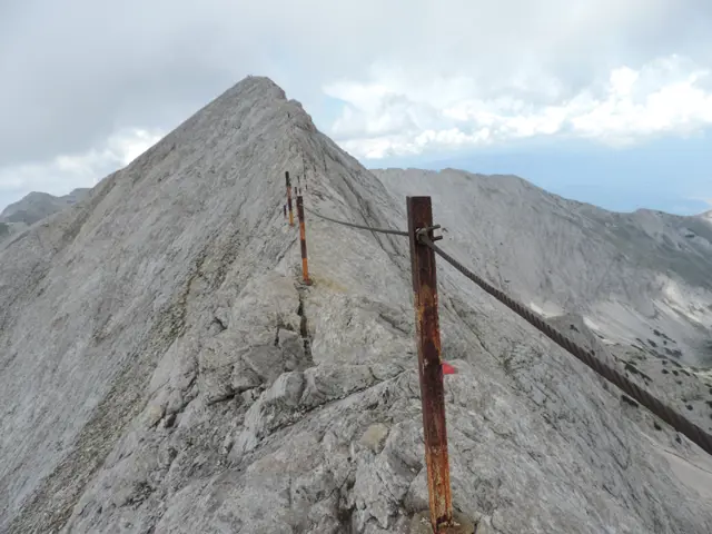
Koncheto
2810 mKoncheto ("The Little Horse") is a knife-edge ridge in Pirin. It lies on the main mountain backbone between the peaks of Kutelo and Banski Suhodol. Its northeastern slopes are almost vertical. They drop more than 400 meters into the dry Banski Suhodol cirque. The southwestern slope is less steep. However, a fall from this side can still be fatal. At its narrowest point, the ridge is only about half a meter wide. In the past, when the metal safety cable that now runs along it was not yet installed, hikers used to cross these narrow parts by straddling the rock as if riding a horse. This is how Koncheto got its name. The length of the ridge is about 400 meters, which means that crossing it requires at least twenty minutes of complete concentration - something that might not be entirely easy to achieve after four to five hours of prior hiking, which is how long it takes to reach it. On summer weekends, Koncheto is heavily visited, and passing hikers coming from the opposite direction along the narrowest sections can put an extra strain on your nerves. In autumn, the ridge can partially freeze over, especially in the evening, making the already polished rock even more slippery. The red-marked trail between Yavorov Hut and Vihren Hut crosses Koncheto. This trail is part of the European long-distance path E4.
Росен ПантелеевKostenets Therme
846 mPools with hot mineral water. therma-kostenetz.bg https://www.facebook.com/Therma.Kostenetz
Росен ПантелеевStone building with bunk beds, stove, table and chairs.
Росен ПантелеевAn alpine shelter in a cirque, surrounded by the peaks of Orlovets, Zliya Zab, Lovnitsa and Kamilata. It is located on a small hill, not far from the old BAC shelter.
Росен Пантелеев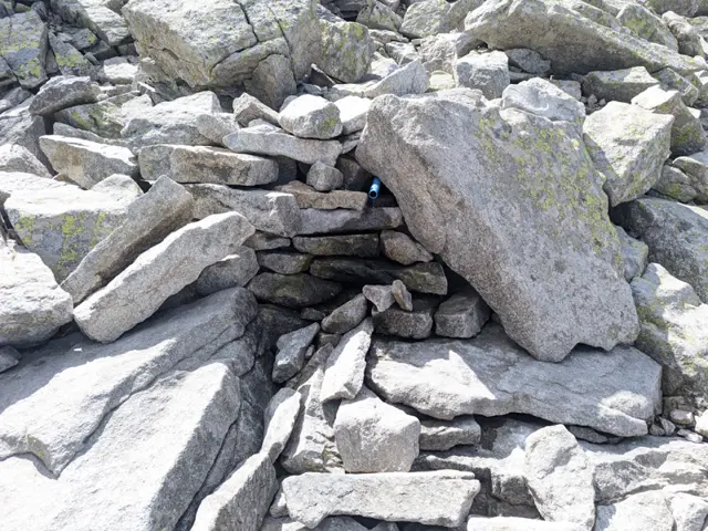
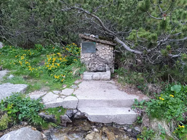
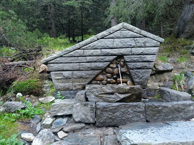
Usually there is water until September, but after that it may dry up.
Росен Пантелеев
Alekо Peak
2717 mAleko Peak is located on the main Musala ridge between Yastrebets and Lyudmil Yankov Peak. Alekovo Lake lies at its foot.
Росен Пантелеев