Places
+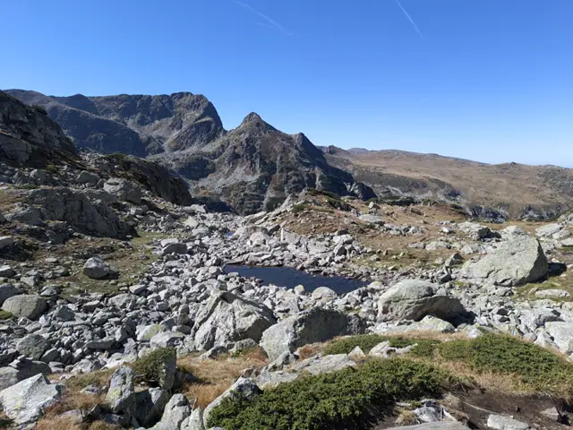
Bislvitkata is a shallow lakelet near Granitna Voda Shelter (BAK).
 Росен Пантелеев
Momin Dvor Peak
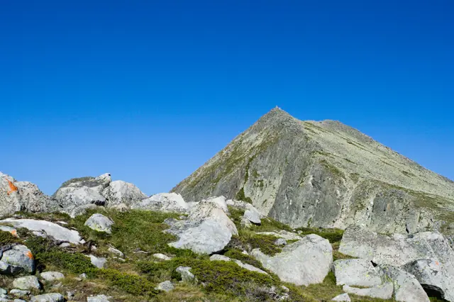
2714 mMomin Dvor Peak (Momini Dvori) is located in Northern Pirin on the main mountain ridge, between the Valyavishki cirque, Popovoezeren cirque, Kraledvorski cirque, and Belemeto cirque. The peak is a granite pyramidal peak (karling) of glacial origin, just like its southeastern neighbor, Kralev Dvor Peak. There are disputes surrounding the name of the peak—on some maps, Dzhangal Peak, located to the northeast, is labeled as Momini Dvori. The elevation of the peak is also disputed - in various sources, it varies from 2,713 to 2,725 meters. Here, we have used the peak's elevation according to the GLO-30 satellite model, but this model has a horizontal resolution (grid spacing) of 30 meters, so it is entirely possible that the actual elevation of the peak is higher.
Росен Пантелеев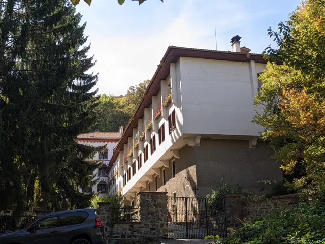
Dragalevtsi Monastery
1033 mThe Dragalevtsi Monastery "Uspenie Boglrodichno" is an Orthodox monastery founded in the fourteenth century. Following the fall of Bulgaria to Ottoman rule, the monastery served as the heart of the Sofia (Sredets) Literary School, which flourished during the second half of the 15th and throughout the 16th century and, along with Rila Monastery, was vital for preserving and developing Bulgarian literary tradition. Between 1871 and 1872, Vasil Levski, the main ideologist and strategist of the Bulgarian national revolution against Ottoman rule, frequently stayed at the monastery, where the abbot at the time, Hieromonk Gennadiy Skitnik, assisted him in establishing revolutionary committees across the Sofia region. Today, the monastery operates as a convent for nuns.
Росен Пантелеев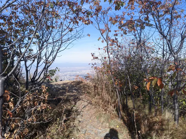
Kikish Peak
1435 mKikish Peak is situated right next to Kikish Shelter, making the ascent just a short, flat walk of a few minutes. It is an open terrace amid the woods that opens up to a view of Sofia. A peak on the Antarctic Livingston Island is named after Kikish on Vitosha Mountain.
Росен Пантелеев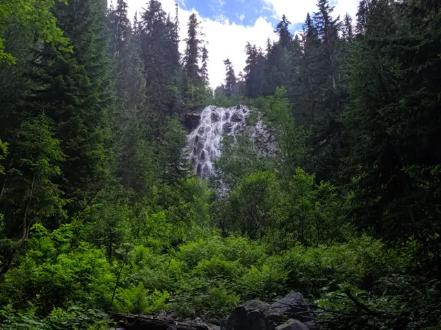
This waterfall is located close to the dirt road to Tiha Rila, from which a very short path through the forest leads to it.
Росен Пантелеев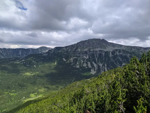
Iosifitsa Peak
2697 mYosifitsa Peak is located at the beginning of the Rilska River valley, above Ribni Ezera (Fish Lakes), adjacent to the peaks Venetsa (2600 m) and Kanarata (2691 m). The marked trail connecting Ribni Ezera Hut with Granchar and Semkovo huts passes through the saddle between it and Kanarata Peak.
Росен Пантелеев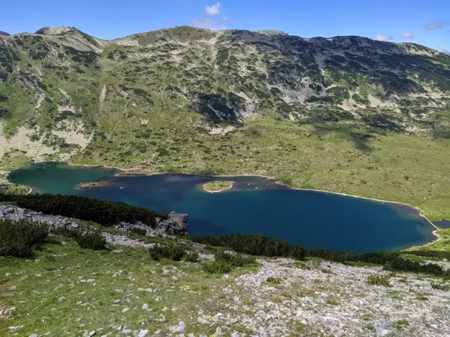
Upper Fish Lake is the larger of the two Ribni Lakes. It is situated in a deep cirque beneath the crown of the peaks Yosifitsa, Kanarata, and Kyoravitsa, near Ribni Ezera Hut and Lower Fish Lake.
Росен Пантелеев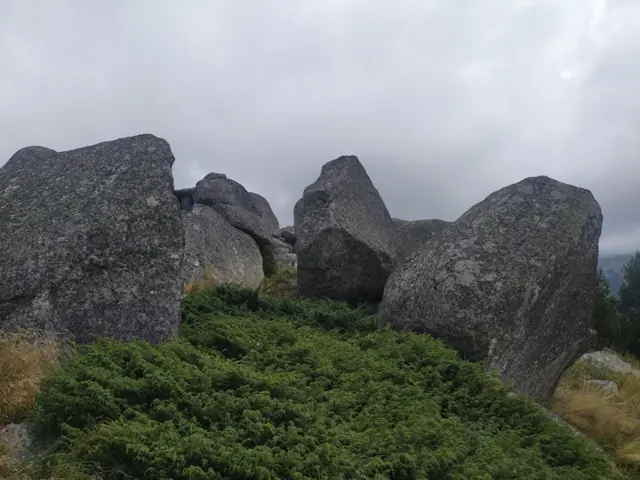
Chernata Skala Peak
1868 mChernata Skala (The Black Rock) peak is located above the forest in the Boeritsa area of Vitosha Mountain. It is a pile of gigantic boulders surrounded by juniper bushes that will scratch you up, and which also hide deep holes between the stones in some places, so a person needs to be very careful. The view from the top isn't much different from the one you will see from the neighboring and much more easily accessible Ushite peak. If you still want to climb it, there is a small trail starting from the stone river that crosses the path leading from Planinarska Pesen Hut to Septemvri Hut and Zlatnite Mostove (The Golden Bridges). The trail branches off to the right through the forest immediately after crossing the stone river when coming from the direction of Planinarska Pesen Hut, and it goes steadily uphill until it reaches the more open and juniper-covered section by the boulders at the summit.
Росен Пантелеев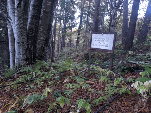
The creator of the mountain shelter, known today as Bai Krastyo, the iconic mountain devotee Krastyo Grozev, is buried here along with his wife Tashka.
Росен Пантелеев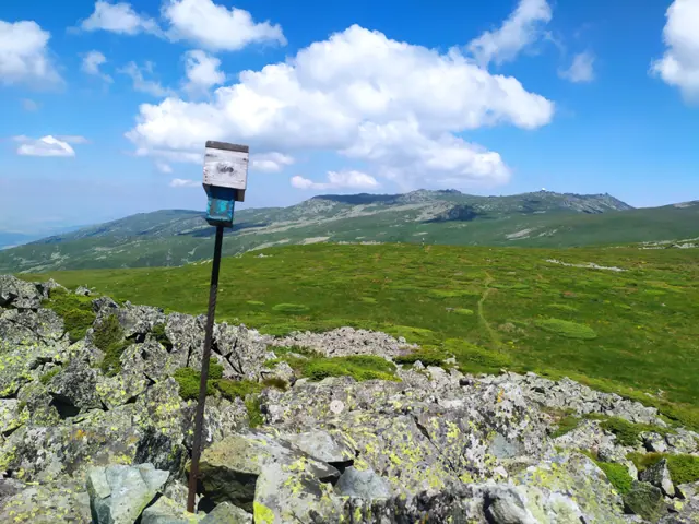
Yarlovski Kupen
2173 mYarlovski Kupen is located at the southern edge of the plateau that stretches between the peaks of Kupena, Kara Chair, Skoparnik, and Cherni Vrah (Black Peak). From the side of the plateau, meaning from the north, the peak rises only slightly, making it very easy to climb from this direction. Its other slopes, however, are steep. The eastern slope, along which the E4 route passes, descends toward the Bukapreslap area; to the south, past the neighboring Siva Gramada Peak, there is a trail to Yarlovo; to the west, a path descends to the village of Zheleznitsa via the Sinyata Strela (Blue Arrow) Shelter.
Росен Пантелеев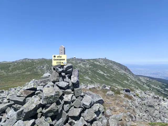
Skoparnik Peak
2226 mSkoparnik Peak is the third highest peak of Vitosha, after Cherni Vrah (Black Peak) and Golyam Rezen. Its slopes are grassy and covered with juniper in many places, but towards the summit, stones begin to predominate. The Struma River, one of the longest in Bulgaria, originates from its western slopes. The ascent to the peak is most often done via the saddle that connects Skoparnik with Cherni Vrah. At this point, the trail descending from Cherni Vrah to the south splits into three - to the right, the route continues towards the peak of Yarlovski Kupen (part of the E4 trail); straight ahead, the trail continues towards the village of Zheleznitsa via the 'Prof. Ivan Staykov' Mountain Training and Sports Base (Akademik Hut), bypassing Skoparnik from the northeast. Here, we take a barely visible path directly toward the summit through the grass. Higher up, the grass gives way to rocks that wobble a lot, so we step with increased caution. The four stone pillars that we will see at the summit are the stone compass by the sculptor Detelin Rachev. The trail to the peak described here, as well as the peak itself, are located on the border of the 'Bistrishko Branishte' Nature Reserve. Hiking on unmarked trails to the northeast of our path, meaning inside the reserve, is prohibited.
Росен Пантелеев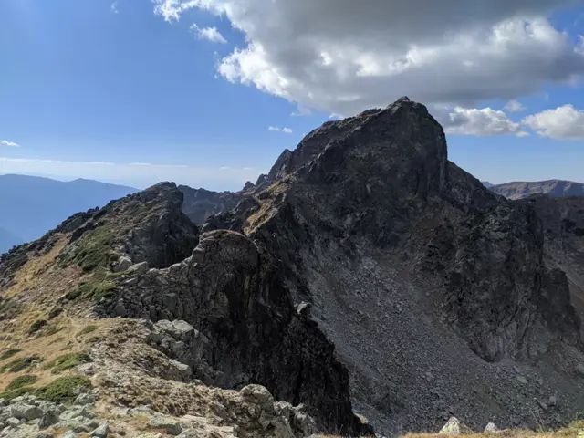
Lovnitsa Peak
2695 mThe easiest peak to climb from the Granitna Voda Shelter (BAK), accessible in summer via a non-technical trail passing through the Zliya Prelez (The Evil Pass) saddle, separating Lovnitsa from the neighboring Zliya Zab peak. The peak offers stunning views of the Zliya Zab, Orlovets, Kamilata, Golyam Kupen and Malyovitsa peaks. Its eastern face is a vertical wall and is a popular climbing site.
Росен Пантелеев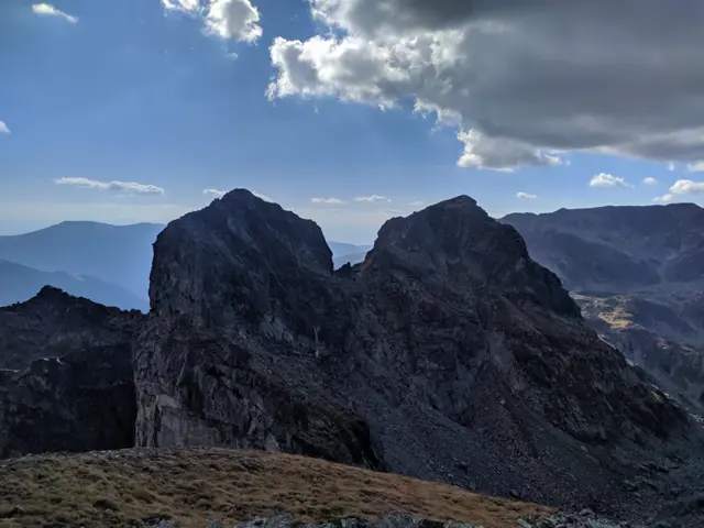
Zliya Zub Peak
2678 mZliya Zub (which translates as The Evil Tooth) is located on the main Malyovisko ridge between the peaks of Orlovets and Lovnitsa, but unlike them, it is accessible only by using climbing equipment, even in the summer.
Росен Пантелеев
Todorina Porta
2560 mTodorina Porta (Gate) is a saddle, connecting the Banderishki Circus with the Vasilashki Circus. The marked trail from Vihren Hut to Demyanitsa Hut passes through it.
Росен Пантелеев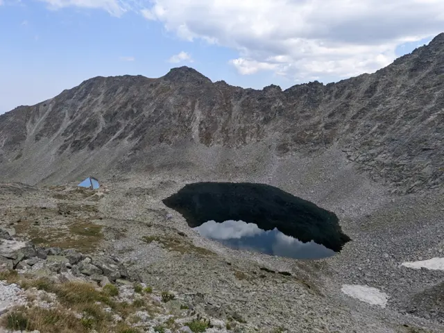
Ledenoto Lake (The Ice Lake) is the first (from top to bottom) of the Musala Lakes group, as well as the highest glacial lake on the Balkan Peninsula. It is located about 300–350 meters northeast below Musala Peak. The lake gets its name because it retains its ice cover longer than any other lake in the group, and even after the ice melts completely, the water remains ice-cold. In the scree slopes high above its shore, patches of snow linger throughout the summer. Ledenoto Ezero Shelter is built near its shore.
Росен Пантелеев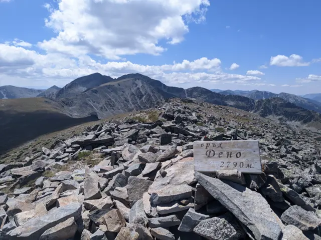
Deno Peak
2790 mDeno Peak is the fifth highest peak in Rila. It is located on the main Musala ridge, alongside the four peaks that surpass it in height: Irechek, Malka Musala, Musala, and Lyudmil Yankov. The trail between the Musala Hut and Chakar Voyvoda Hut passes along its northern slope. From there, you can take a detour to the summit, though this "detour" involves a rather lengthy walk up a steep, grassy slope. The famous "Sphinx" rock formation is located on the peak's southeastern slope.
Росен Пантелеев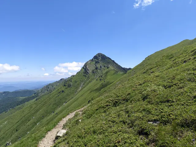
Golyam Kupen Peak
2169 mGolyam Kupen is one of the more difficult peaks to climb in the Balkan Mountains. The paths to it - both from its eastern and western sides - are secured with steel ropes. The peak is a key point on the famous Dobrila - Botev alpine traverse, which itself is part of the longest hiking route in Bulgaria, Kom - Emine.
Росен Пантелеев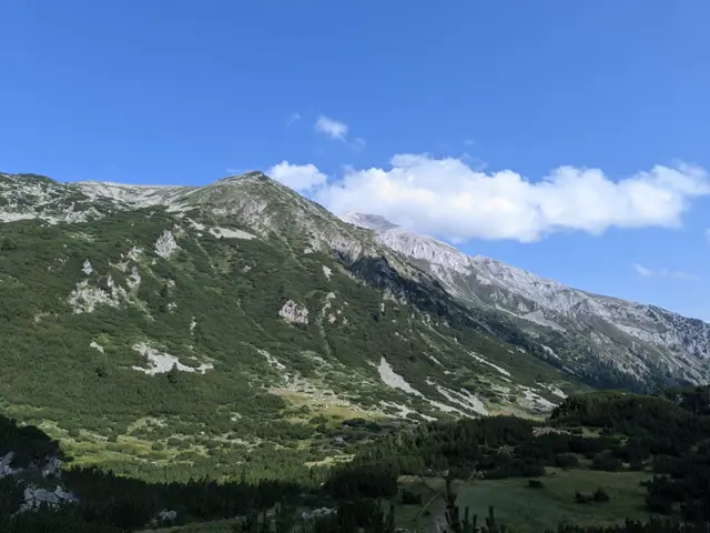
Hvoynati (Ovinati) Peak
2635 mHvoynati Peak is located on the main Pirin ridge between the peaks of Vihren and Muratov, west of Vihren Hut and east of the Vlahini Lakes. It is a granite peak and is relatively easily accessible from the Kabata saddle, which separates it from the marble section of the ridge, where Vihren is the first peak. It can also be climbed from the south via the Vlahinski Preval saddle, which separates it from Muratov Peak. However, the passage from there involves crossing sections with boulders and dwarf pine, where a trail is not always present.
Росен Пантелеев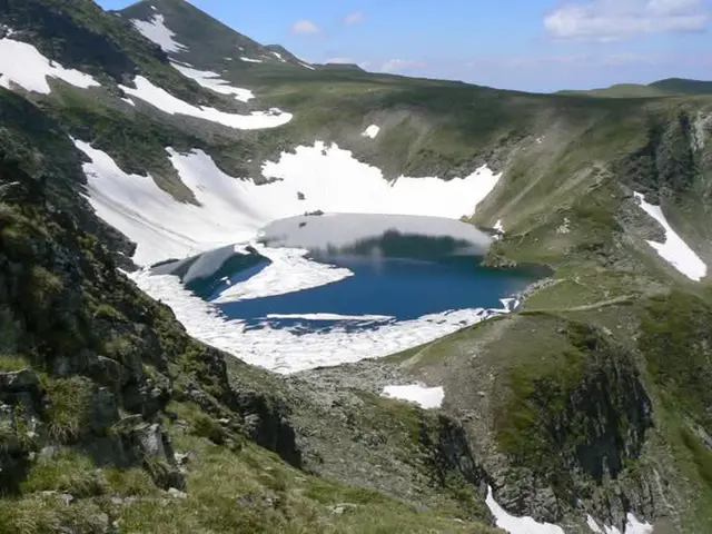
Okoto Lake (The Eye)
2440 mOkoto (The Eye) is the second of the Seven Rila Lakes. Its depth is 37.7 meters, making it the deepest glacial lake on the Balkan Peninsula. It drains from the southern side into Bliznaka Lake (the fourth in the group) via a stream with a small waterfall, alongside which the marked tourist trail passes. Steep rocks and gullies rise above the northern shore of the lake, in which snow patches may remain until late summer.
Росен Пантелеев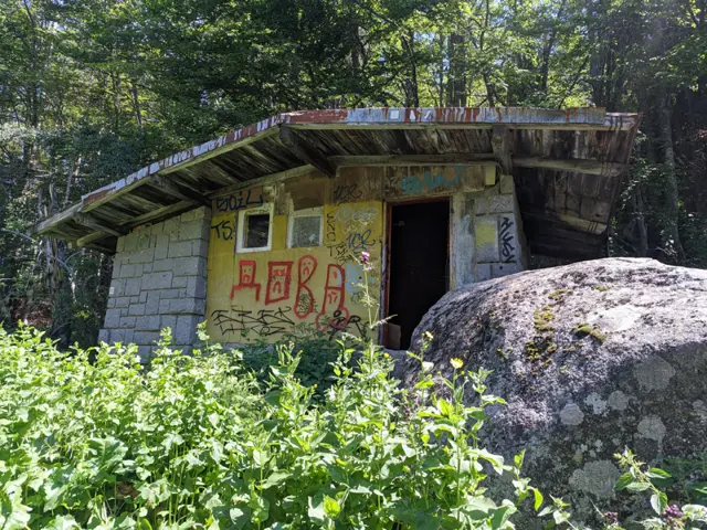
Gyoreva Cheshma Shelter
1664 mThe stone shelter behind Gyoreva Fountain, along the path from the Golden Bridges and Momina Skala Hut toward Kamen Del.
Росен Пантелеев