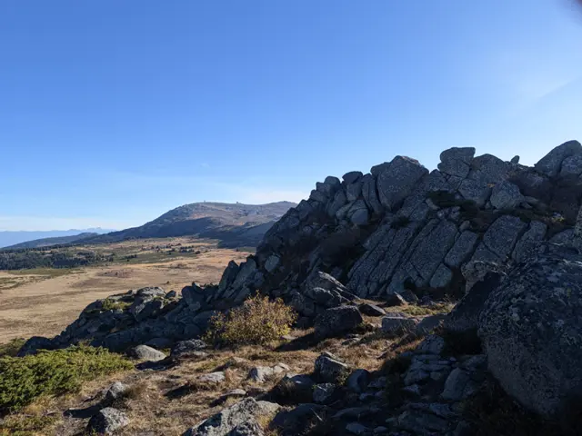
Ushite Peak
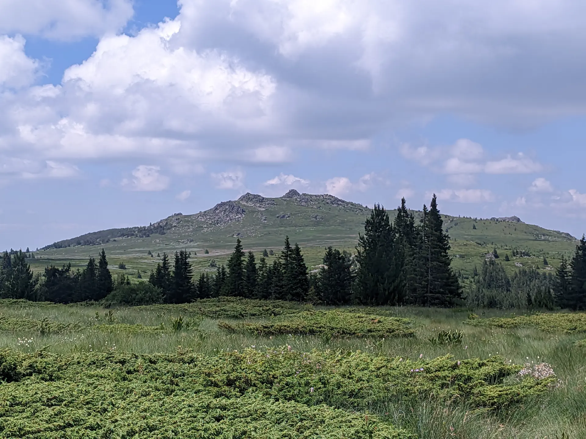
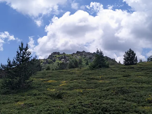
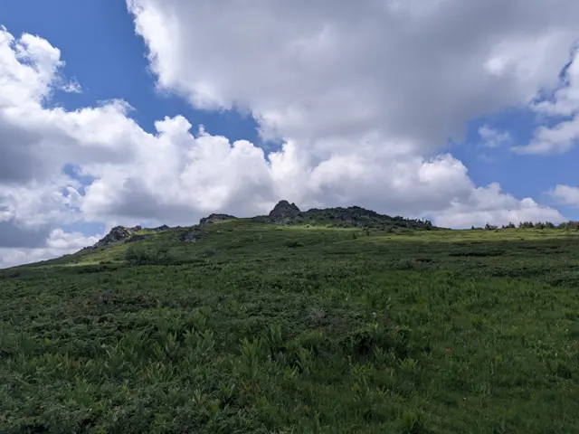
Ushite Peak (The Ears) is a twin peak in the northern part of Vitosha, situated south of its neighbor, Kamen Del Peak. Located at its foot is the Ushite Shelter, from which a short path leads to the summit.
The peak is most frequently climbed from the direction of Aleko Hut, from…
Trails through this place
 Moderate
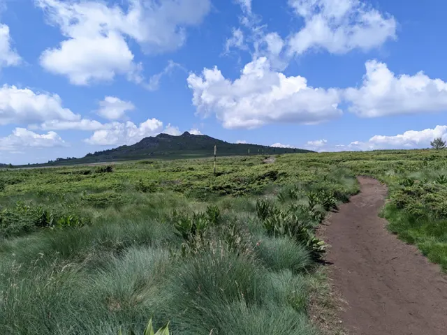
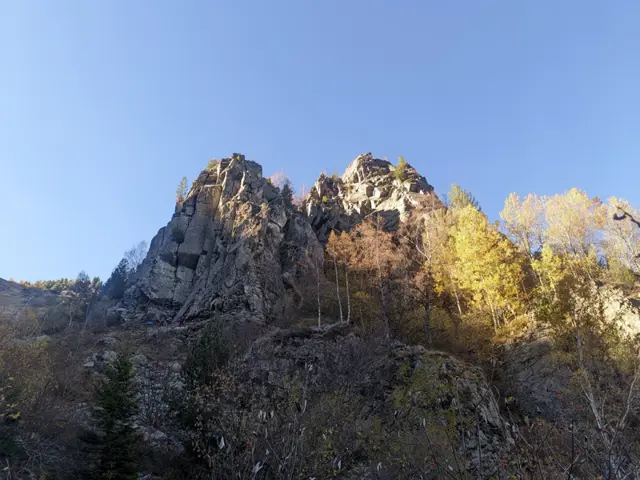
The path from Bay Krastyo Shelter to the plateau via Kominite is one of the more difficult routes on Vitosha Mountain. There are many spots where you can get lost, steep stony sections where a fall cannot be ruled out, and it is not very popular, so we are likely to have it to ourselves, especially on weekdays. However, it will take us through one of the few alpine sections of otherwise rounded and welcoming Vitosha, with landscapes that will remind us more of Rila and Pirin. We will also have the chance to climb to the highest point of Kominite, which has a short detour off our path. The area around Kominite is prone to avalanches, so the path is only suitable for months when there is no snow up there. We start from the sharp bend that the paved road to Aleko Hut makes at the bus stop for Bay Krastyo Shelter. If you are driving, there is a roadside pull-off next to the bus stop where you can park. We need to be careful at the turn because the last time I went (October 2026), the detour from the road, where the trail starts, was blocked by fallen trees and, to make it completely confusing, there was a fresh ditch dug between the road and the start of the path, so it looks impassable there. There are also a few alternative paths we might accidentally take, so we need to keep a close eye out for the trail markers. Once we enter the forest, the path becomes relatively easy to follow. After a gentle climb through the beech forest, we will come out at the valley of the upper course of the Dragalevska River (which is a relatively small stream there), from where we will catch our first glimpse of the stone towers of Kominite (The Chimneys) on the right. We will have to cross the river. Here the valley is deep and shaded for most of the day, so during the autumn months the path and the stones we use to cross the river may be iced over. There is a bridge, but it is in very poor condition and unusable (as of October 2026). After the river, we have two options: one is to head along the left "chimney", where a path climbs steeply upwards. The other is to loop around to the left, initially towards the grassy gully we will see to the east in front of us, but before reaching it, we turn right again. This option is gentler, but it is easy to get lost and people sometimes head straight east up the gully where there is no path. Therefore, the current GPX follows the steeper, more unambiguous version of the path. Shortly before we climb up to the rocks above the left "Chimney", we will see a detour to the right that runs alongside a stone scree. Along it, we can climb to a group of large boulders that represent the highest part of Kominite. We can also continue and we will see another, gentler detour to the same place. But whichever option we choose, climbing the rock formation is dangerous, so if we are not confident in our abilities, we can simply continue along the path towards the plateau. The path to the plateau continues upward through a sparse grove of birch trees and bushes, then emerges at a junction with several signs, where a path descends northwest towards Kikish Shelter. We continue climbing up the grassy slopes before the plateau. We will pass Manova Cheshma (Manov's Water Fountain) and come out onto the wide path across the plateau marked with numbered posts, along which we will reach Ushite Shelter in about ten minutes. To climb to Ushite Peak, we must pass the shelter and, a few meters behind it, turn left towards the peak. The little path will lead us to the grassy clearing between the stone piles at the top. From Ushite Shelter, we can continue towards Zlatnite Mostove and Momina Skala Hut, or head back across the plateau towards Aleko Hut.