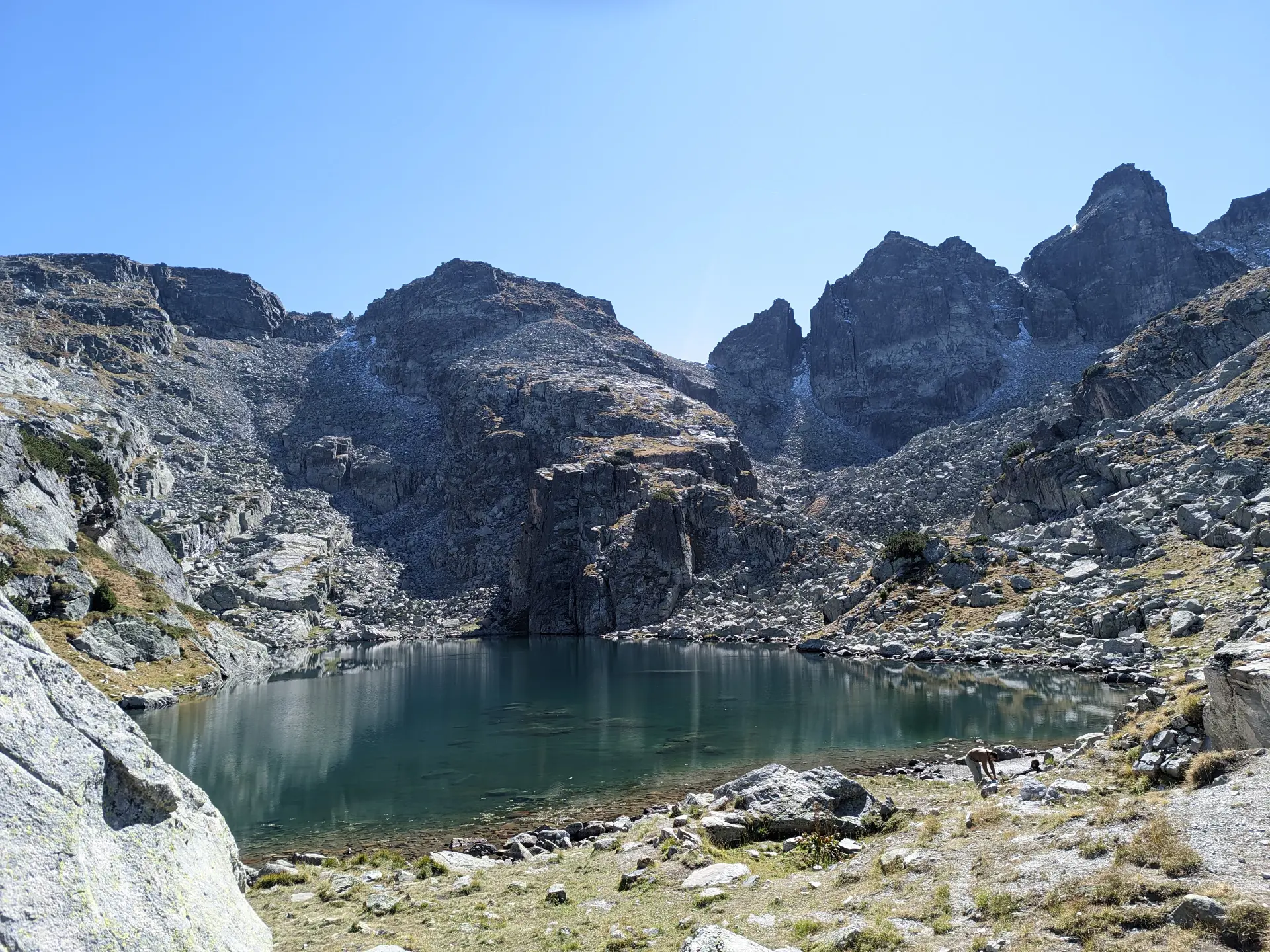
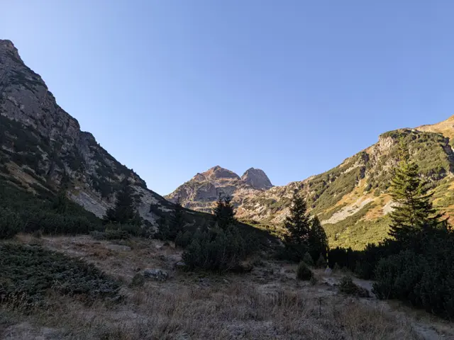
Malyovitsa Hut – Strashnoto ezero (the Scary Lake)
Hiking·3.38 km·2 h 30 min·505 m
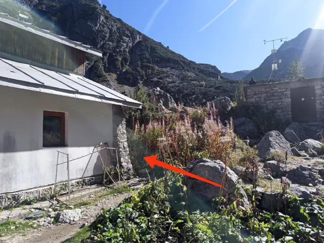
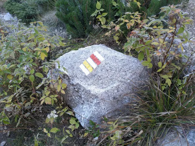
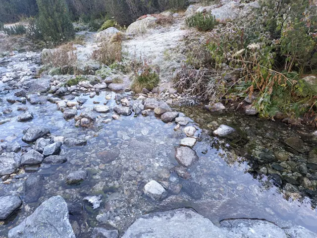
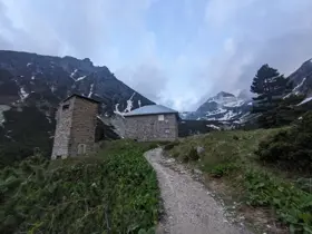
The route begins behind the corner of the Malyovitsa Hut, looking from the benches in front of it toward the peak (see the photo with the arrow). Head through the meadow toward the river and find a convenient spot to cross it, then follow the trail markings through the dwarf pine. You will cross several boulder fields (stone rivers), where you need to follow the markings closely, as the spots…
Elevation profile
2465 m2224 m1983 m
2465 m1983 m
0 km1.7 km3.38 km
Waypoints
3.1 km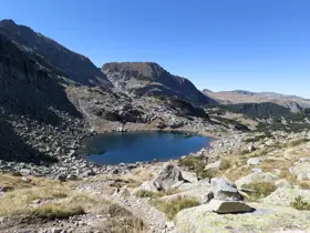
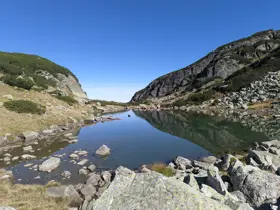
ViaMineral Lake
3.4 km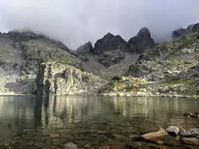
ToStrashnoto Lake
The route and GPX file are approximate and may have been submitted or verified by a user like you. Check the source, date, forecast, restrictions, and your own preparedness. Don't rely solely on your phone or a single GPS track. In case of immediate danger, call 112.

Reviews
Log in to leave a reviewShare your experience and help other hikers.
LoginNo reviews yet.