Belmeken Hut – Kostenets Waterfall
Elevation profile
Waypoints

Reviews
Related routes
Trails that cross or pass near the current one.
An easy route along the asphalt road, and forest paths, shortening the turns.
 Росен Пантелеев
 Moderate
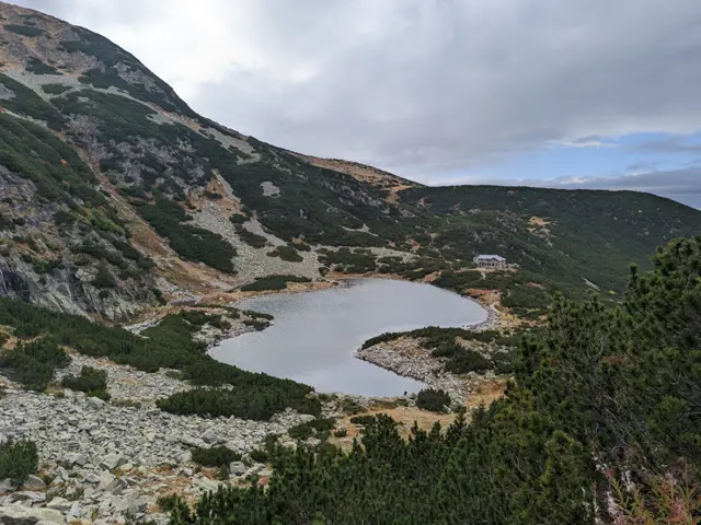
The hike to Belmeken Peak begins with an easy stroll along the shore of Ravnichalsko Lake, which serves as a perfect warm-up for the steep section ahead. But don’t worry - the incline is short, and the rocks underfoot are relatively large and stable. Afterward, we emerge onto a pleasant grassy saddle, offering a bit of time to catch our breath along a nearly flat stretch before the final push to the summit. While this final climb follows a (mostly) grassy path, it is steep-ish and not exactly short. However, once we reach the top, we will be able to see a huge part of the Rila and Rhodope mountains. If we descend slightly down its southeastern slope, we can look down on the Belmeken Reservoir from above. Wild goats are often spotted in the area, and if we get lucky, we might even see the ground squirrel - the elegant cousin of the marmot - whose highest habitat in the Balkans is right here around the peak.
Росен Пантелеев