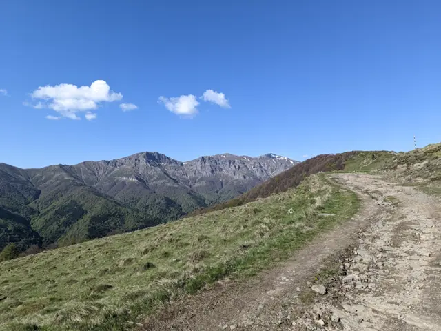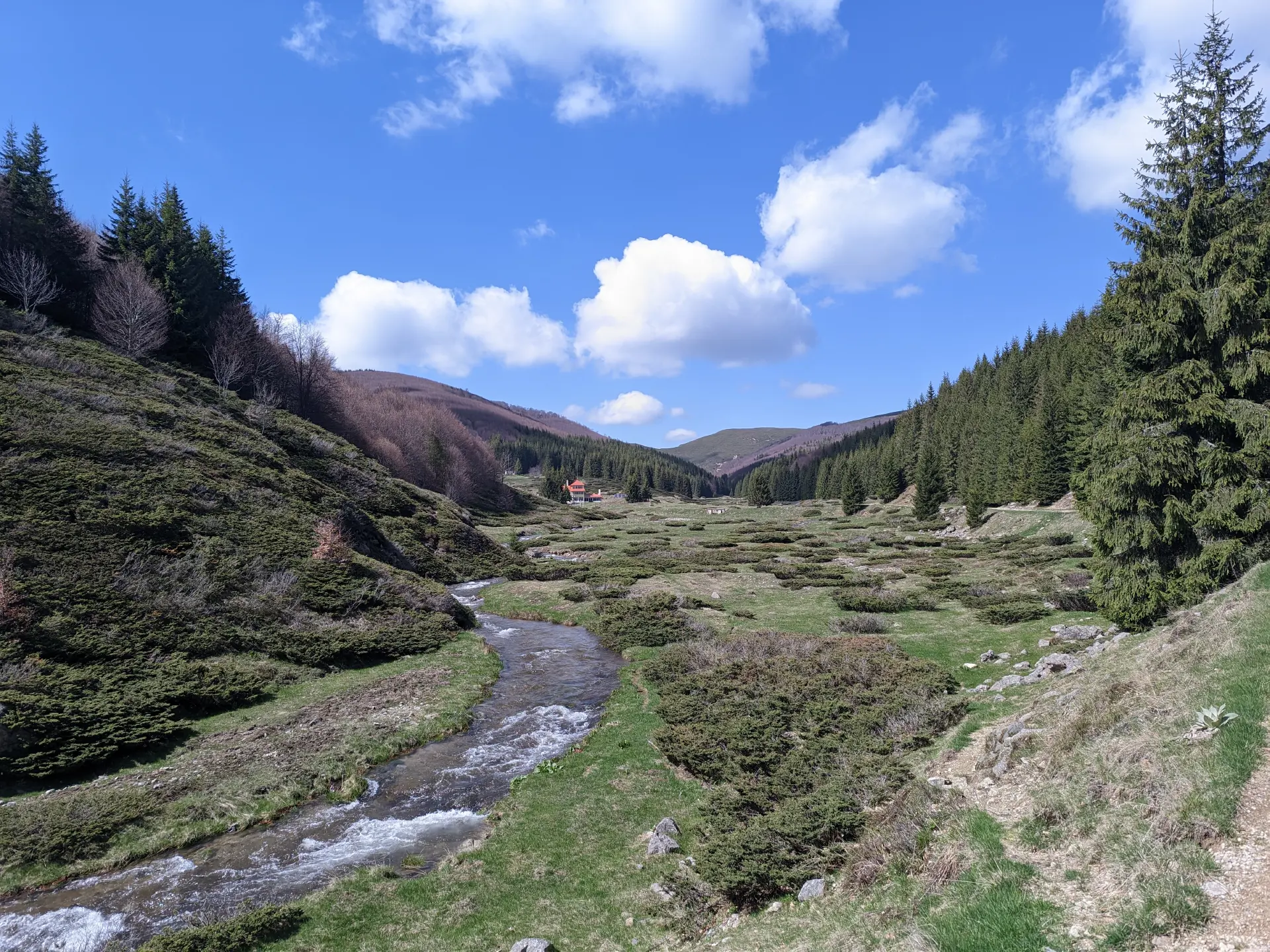
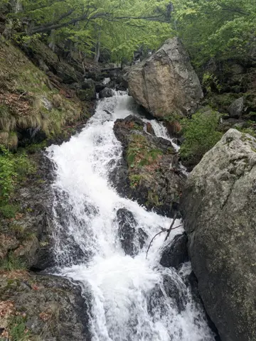
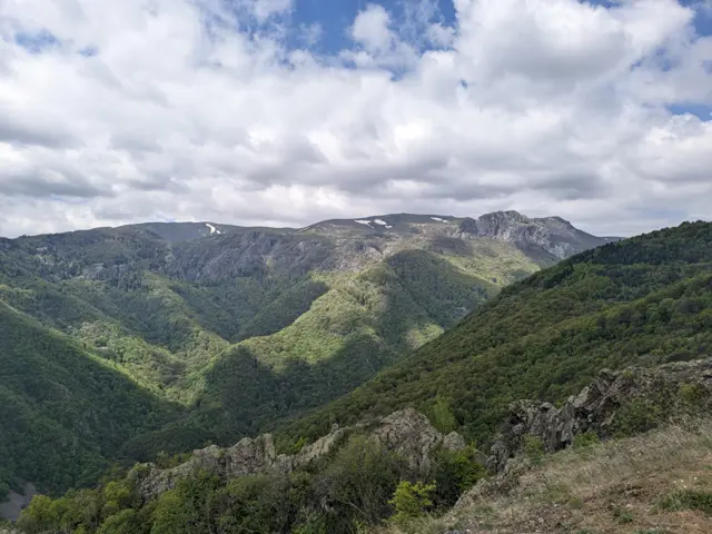
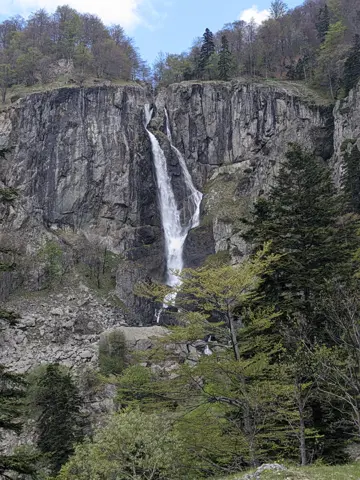
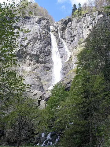
Tazha Village – Mazalat Hut
Hiking·27.51 km·8 h 39 min·1934 m
Elevation profile
1983 m1258 m532 m
1983 m532 m
0 km13.8 km27.51 km
Waypoints
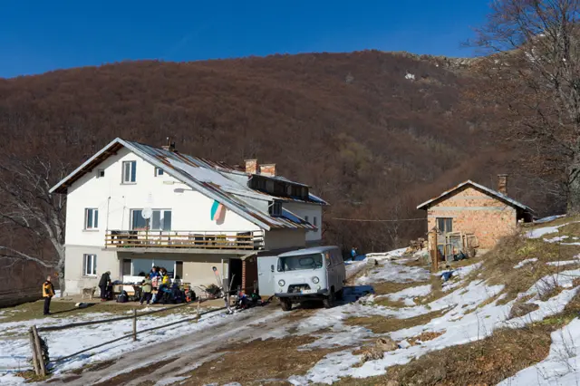
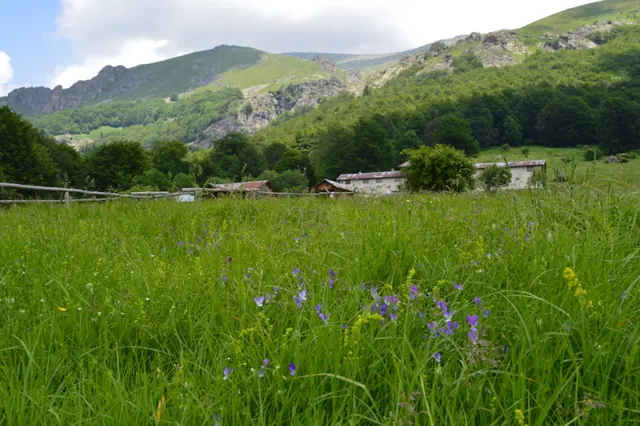
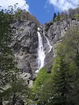
17.2 km5 h 3 min
ViaJunction - Tŭzha Hut, Mazalat Hut
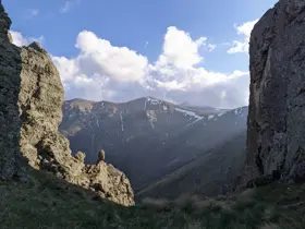
27.5 km8 h 39 min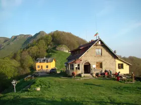
ToMazalat Hut
Segments
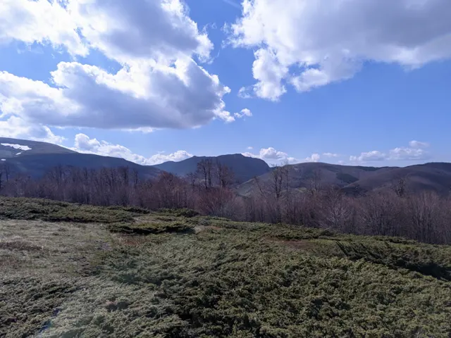
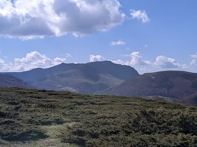
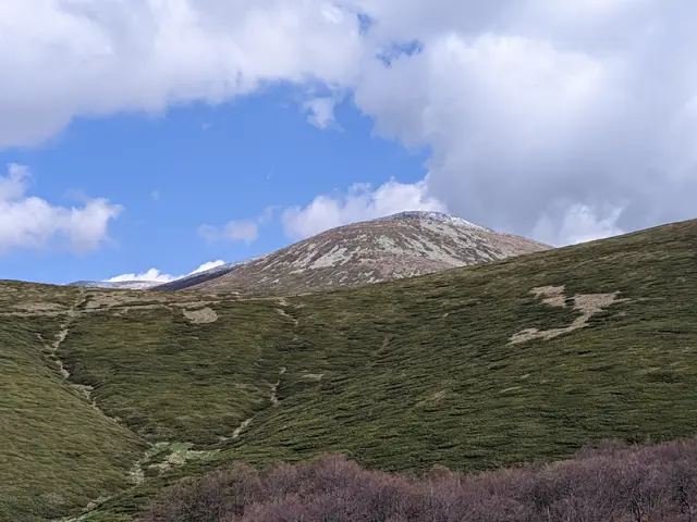
The route and GPX file are approximate and may have been submitted or verified by a user like you. Check the source, date, forecast, restrictions, and your own preparedness. Don't rely solely on your phone or a single GPS track. In case of immediate danger, call 112.

Reviews
Log in to leave a reviewShare your experience and help other hikers.
LoginNo reviews yet.
Related routes
Trails that cross or pass near the current one.