Yastrebets Gondola Lift (Upper Station) – Musala Peak
This is the most popular summer route for climbing the highest peak in the Balkans.
Elevation profile
Waypoints

Segments
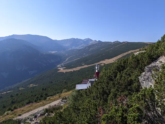
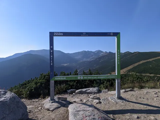
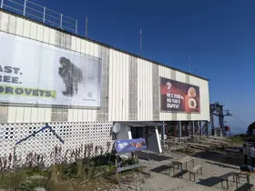
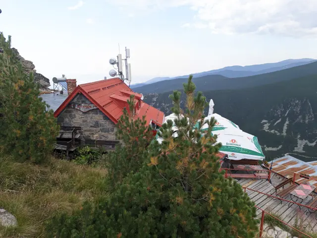
The upper station of the "Yastrebetz" gondola lift is located right at the summit of Yastrebetz Peak (2,369m). Yastrebetz Hut is also located there - if we follow the dirt road starting from the lift station, we will very soon see an archway on our left, with stairs leading down to the hut.
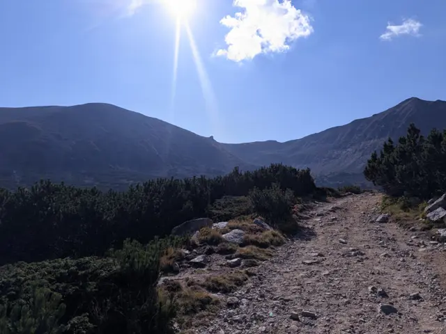
After a short descent, the dirt road forks into three - we take the middle path. There are signposts at the junction, but since Musala hut can be seen in the distance from this point and appears to be lower than our current altitude, people often get confused and take the left path, which heads downhill, seemingly towards the hut. The right path, on the other hand, crosses the ski slopes and leads to the trail for Aleko Peak and the Musala traverse. This route is unmarked and only suitable for mountaineers with alpine experience.
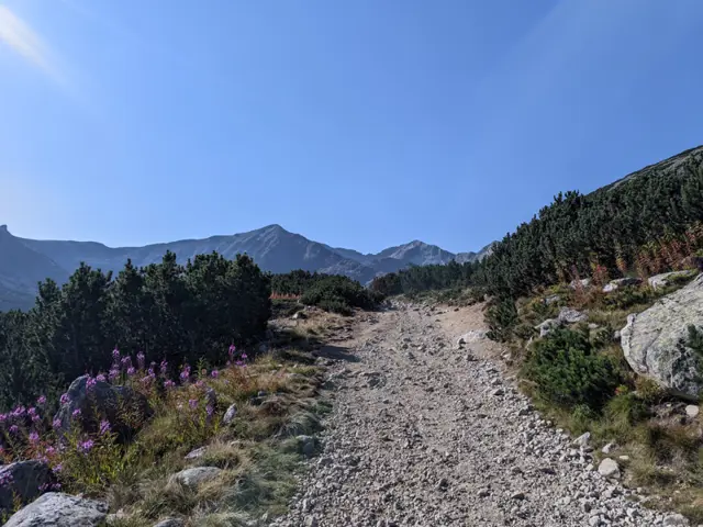
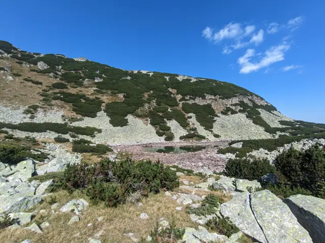
Next, about an hour of walking along a relatively flat and wide path awaits us. Shortly before reaching the hut, the trail detours to the right off the road to spare us one of its wide bends. On some maps, a lake is marked at this spot. While a lake may have truly existed here once, all that remains of it today are a few drying puddles during the early summer months, along with flat, whitish stones that give away where the lake bed used to be.
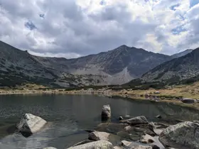
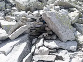
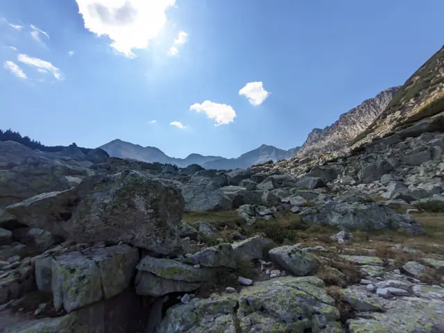
After Musala hut comes what is likely the most difficult part of the hike - a very steep section that begins near the end of the Lower Musala Lake, along whose shore the trail passes. Despite the abundant trail markings indicating the switchbacks meant to save us some of the struggle, impatient hikers have worn down a path straight up, bypassing the turns and heading directly through the scree of gravel and large boulders. We can choose to follow it or stick to the official markings, depending on our energy levels and enthusiasm.
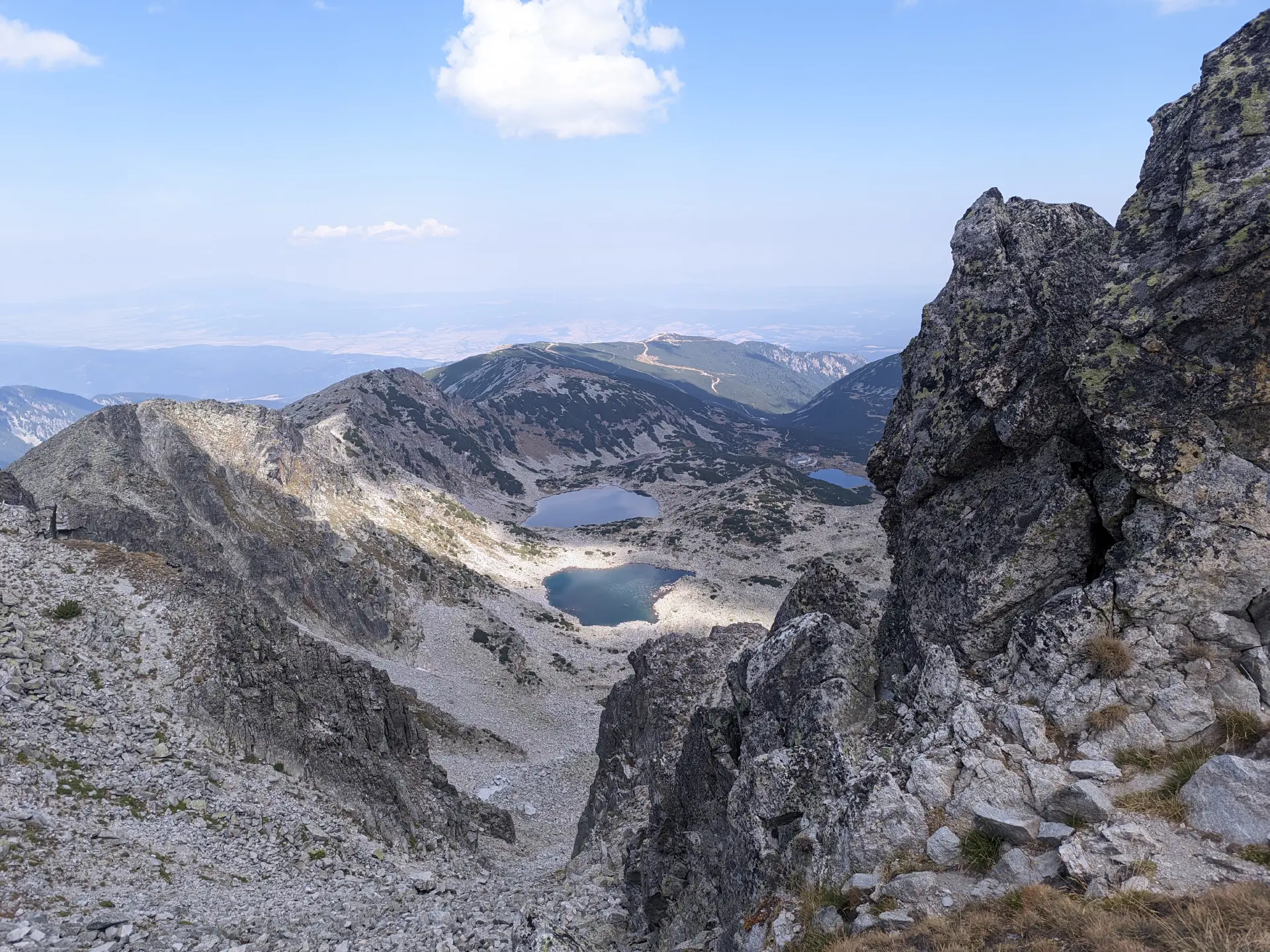
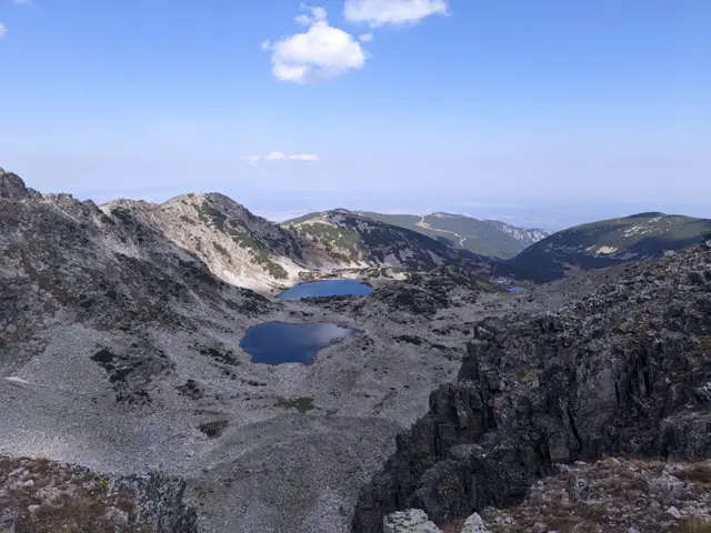
Once we climb up this steep scree and look back, we will get a high-angle view of the three lowest Musala Lakes and the hut, and above them - the rounded dome of Deno Peak with the Sphinx rock formation to its right. Minutes later, we will find ourselves in a green meadow where, in the early summer, we might come across the Rila primrose (Primula deorum) - a purple flower found nowhere else in the world except here in Rila. To the right of this meadow, we will see the small Ferdinand's Lake.
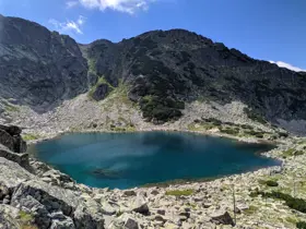
After a short climb, we will come out onto the shore of the next lake - Alekovo Lake. To our right, we will see Aleko Peak, to our left - Irechek Peak, and between them - the peaks of Musala and Little Musala, whose silhouettes reflect in the still waters of the lake on a windless day.
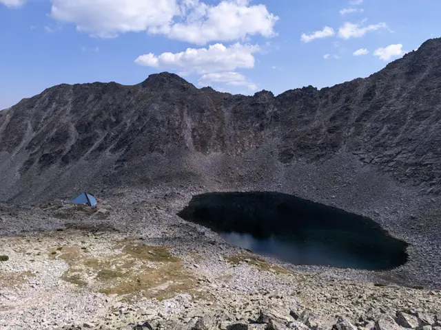
We continue the climb. Not too far ahead, the blue pyramid of the Ledenoto Ezero (Ice Lake) Shelter is visible, which is our next stop. As we hike up toward it, the next lake of the group will be on our right, which some mountaineers call the "Nameless Lake" because it is located right below Nameless Peak. However, Nameless Peak was recently renamed to Ludmil Yankov Peak, so the question of the lake's name beneath it remains open.
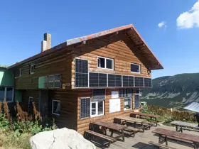
If we are thirsty and it is not late summer, we have a chance to fill up on water from the fountain located just a few meters below Ledeno Ezero Shelter. From August onward, however, this fountain might be dried up. In any case, we can refuel at the shelter itself, where they offer food and drinks.
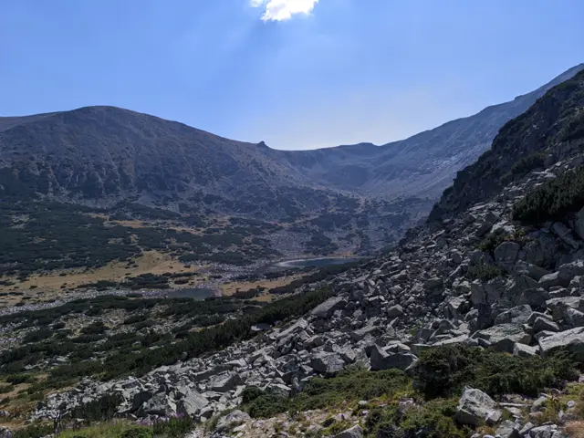
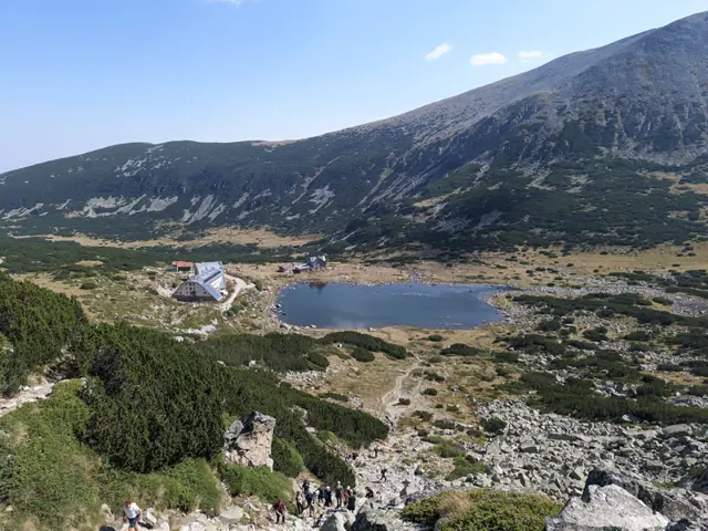
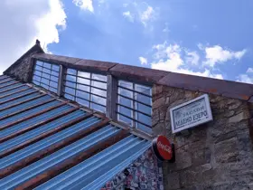
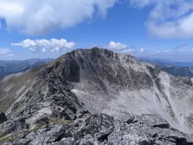
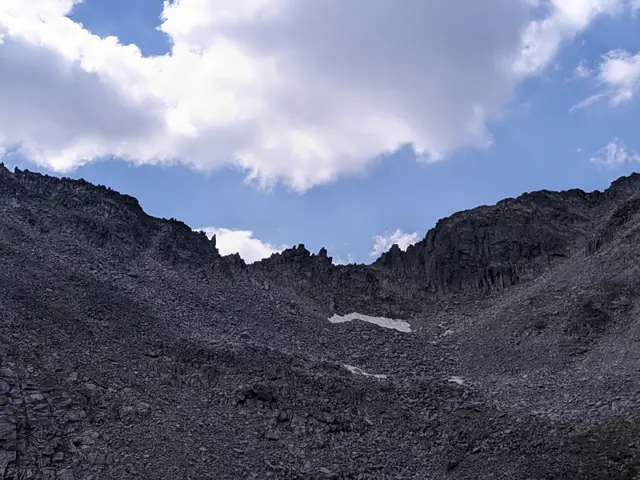
Once we reach Ledenoto Ezero Shelter, we are almost at the summit - from here, it is only another half hour to the top. We pass by the ruins of the old shelter, soon after which we hit the switchbacks that lead us up toward the peak. We will look down on the Ledenoto (Icy) Lake from higher and higher up, and ahead of us will be the Trionite (The Saws) rocky ridge with its perpetual patches of snow underneath - this ridge connects Musala Peak with the second-highest peak in Rila - Malka Musala. From above, we will see the Musala lakes we passed earlier, and our trail will briefly merge with the winter route, which is secured with a steel safety cable. Once we step onto the summit, we will see the meteorological station and the pyramid featuring the portrait of Mury the cat, but we shouldn’t stop there - if we continue past the other building at the top, the blue-painted ecological laboratory of the Bulgarian Academy of Sciences (BAS), we will catch a view of the two Marichini Lakes on the far side.

Reviews